Connecticut
Massachusetts
Rhode Island
New York
Other States
Latest Adventures
About Mandy & Lexi
Beach Guide
FAQ
◂︎ Mandy & Lexi's Massachusetts Adventures
New Bedford
Fort Taber Park
Date visited: 9/9/2022
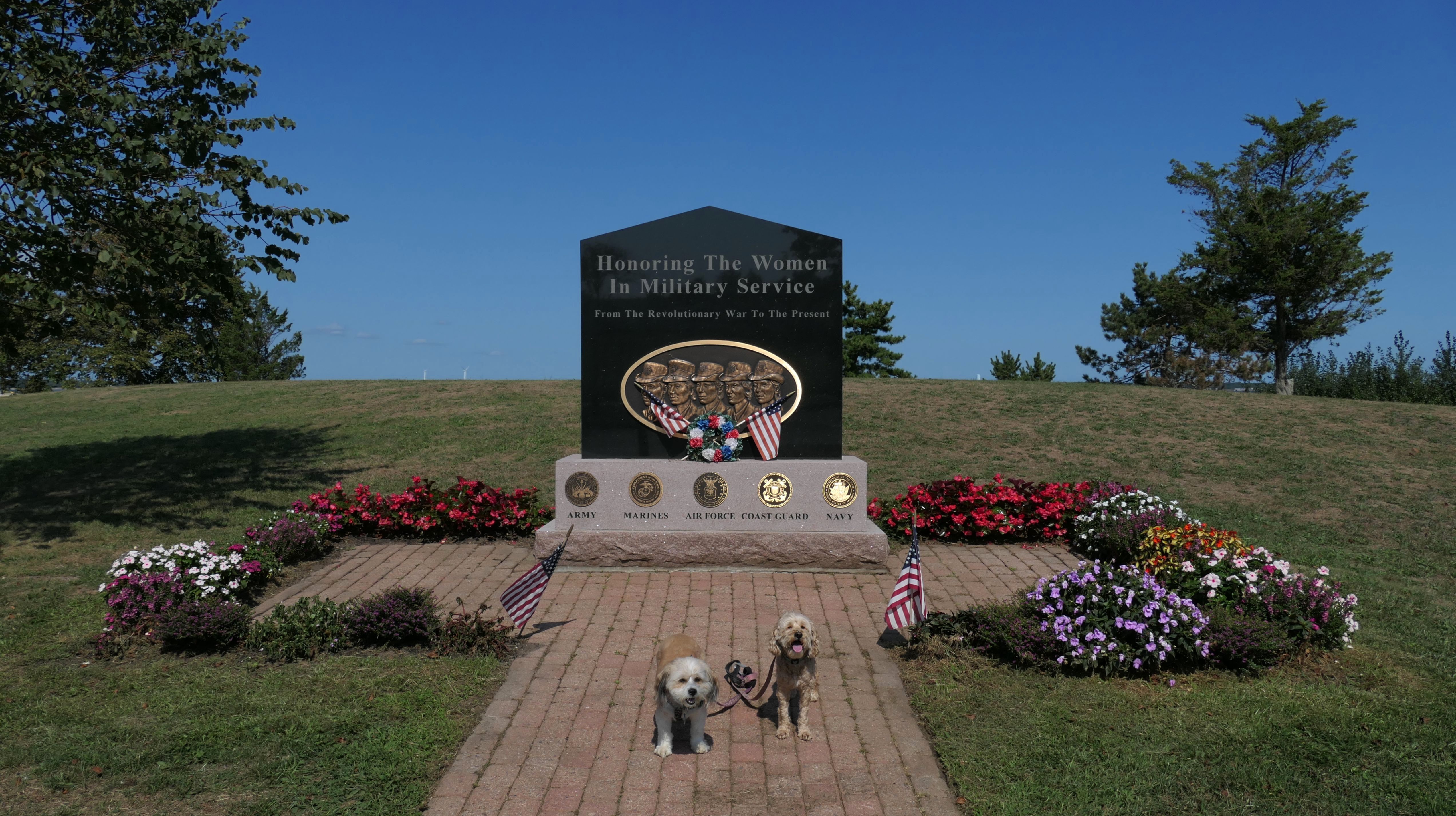
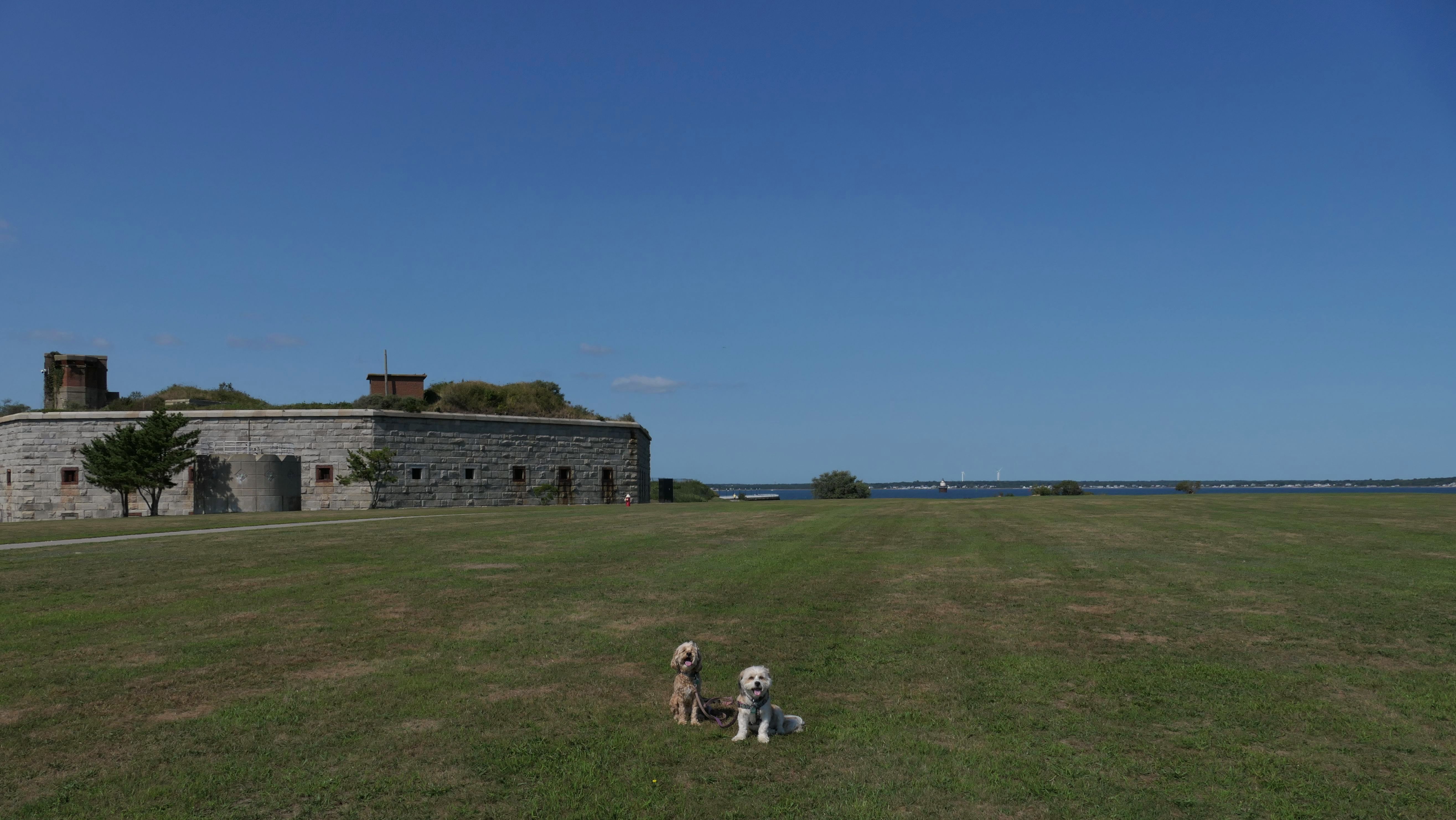
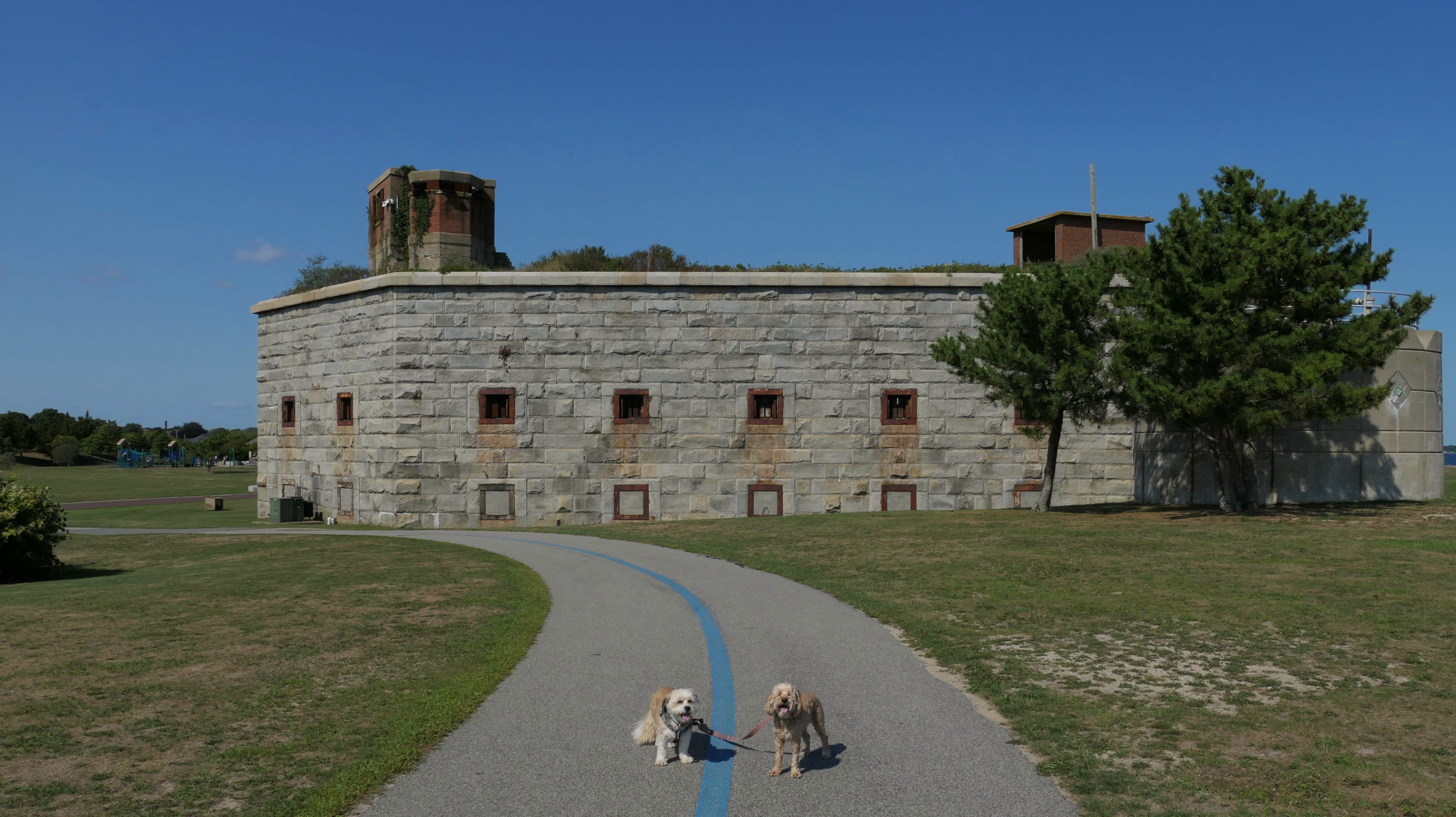
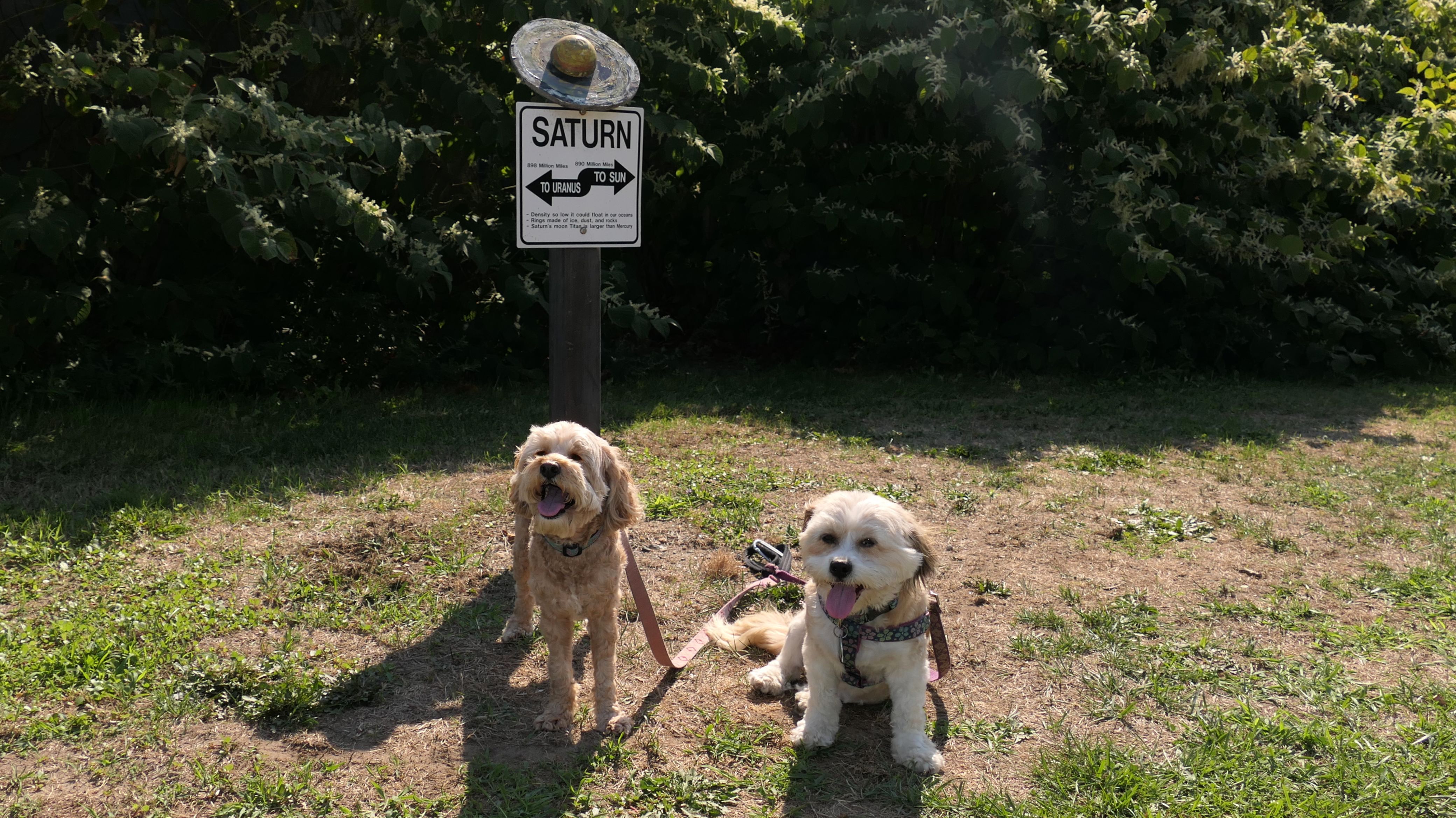
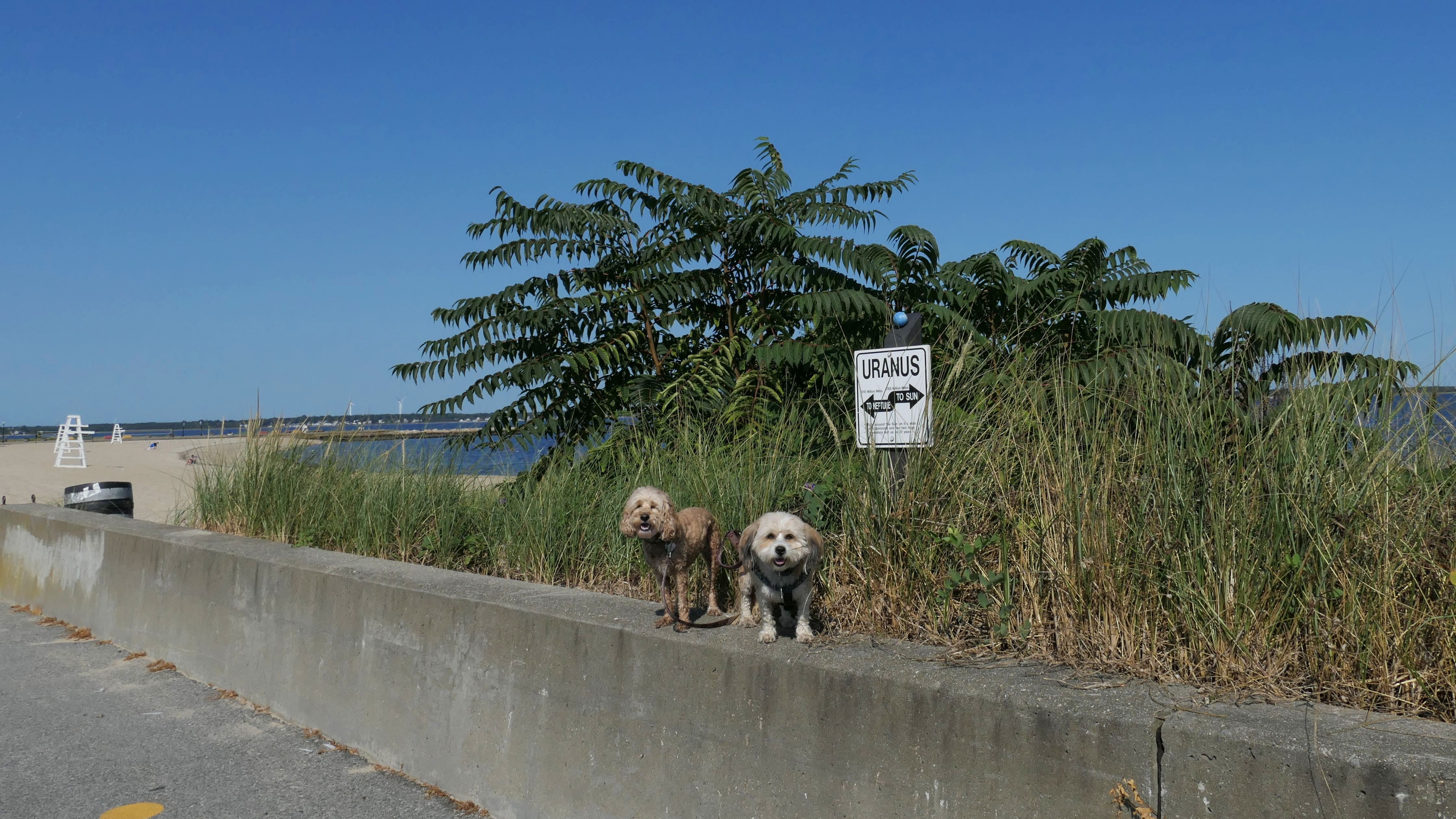
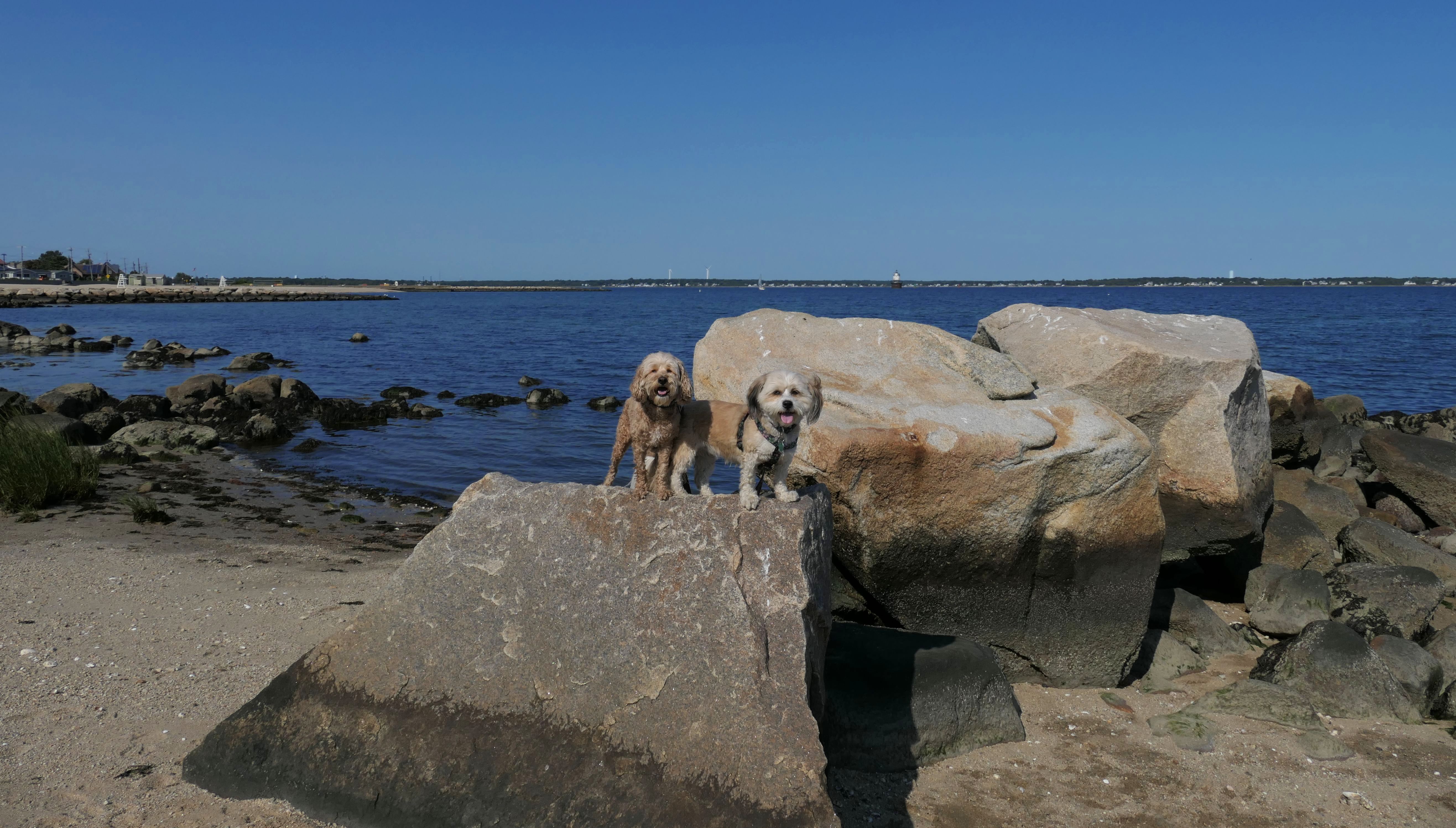
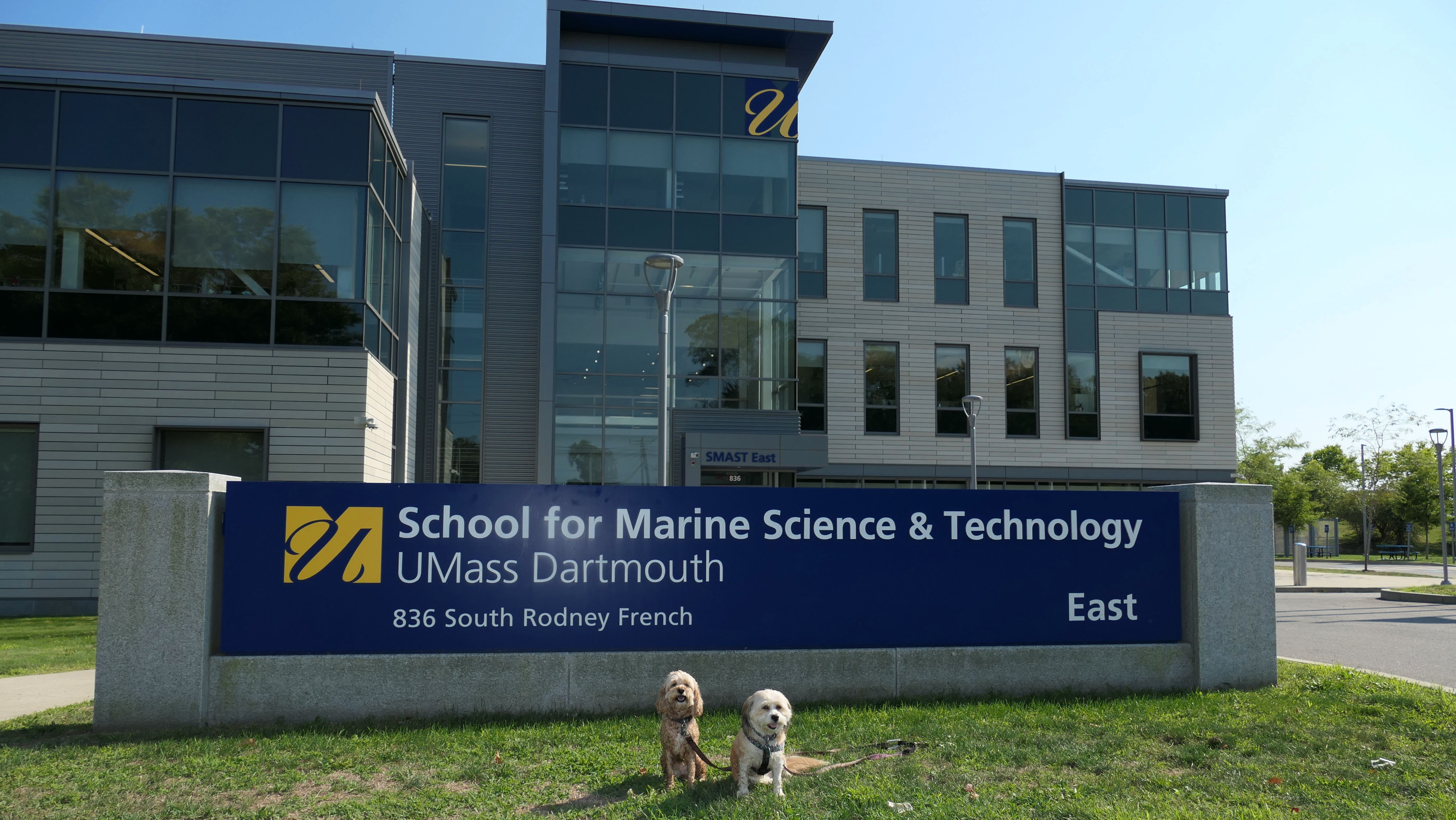
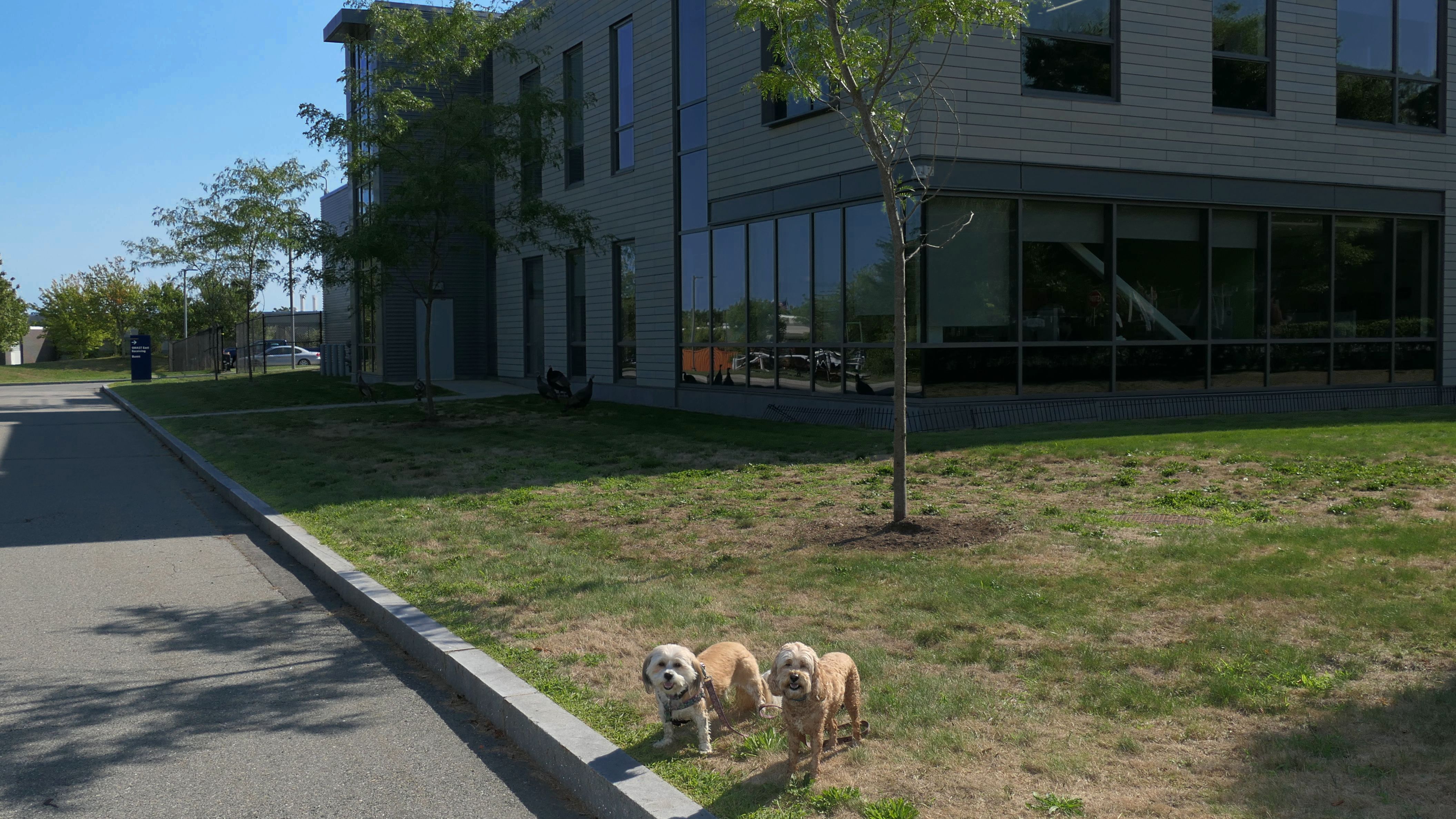
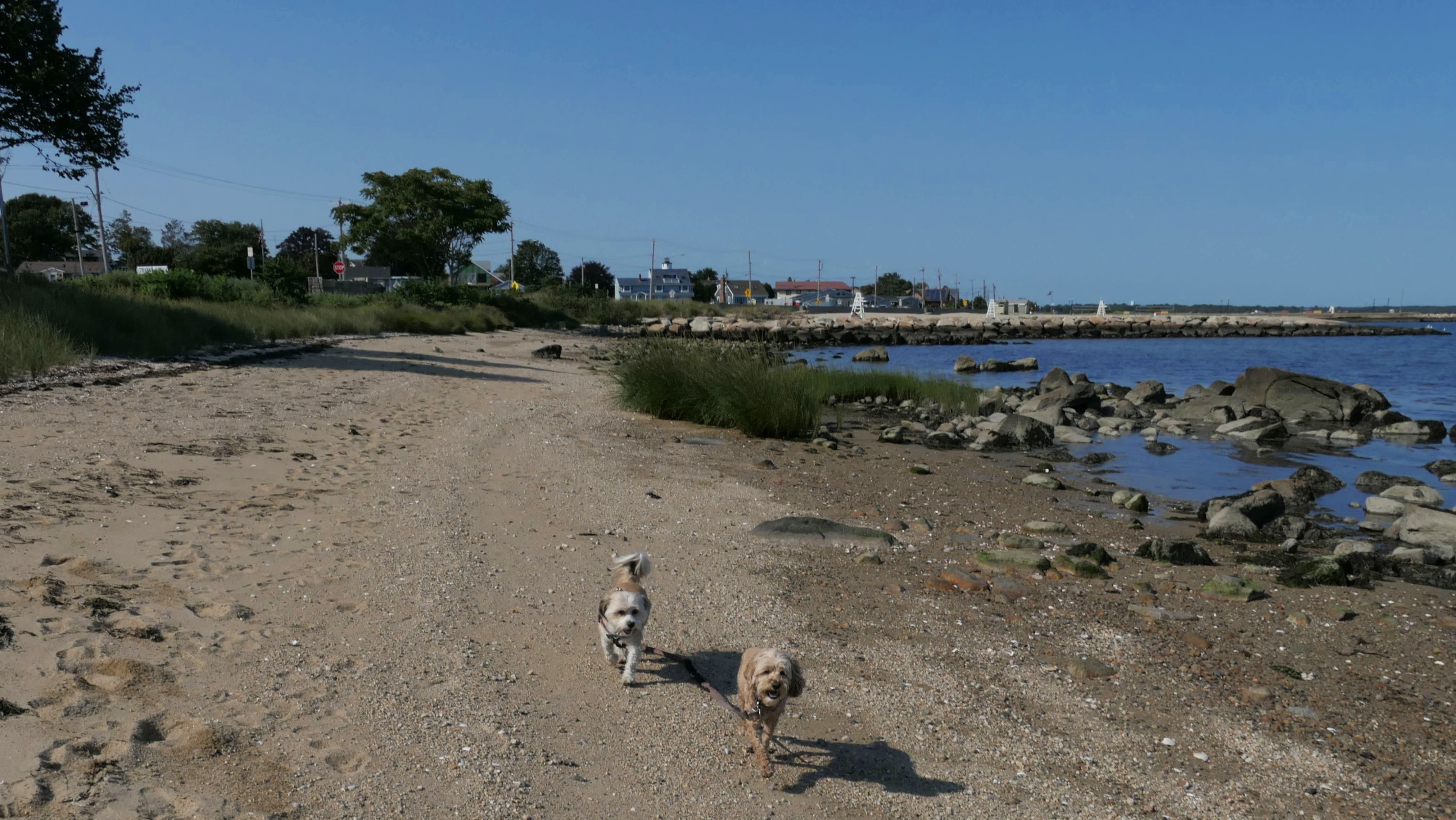
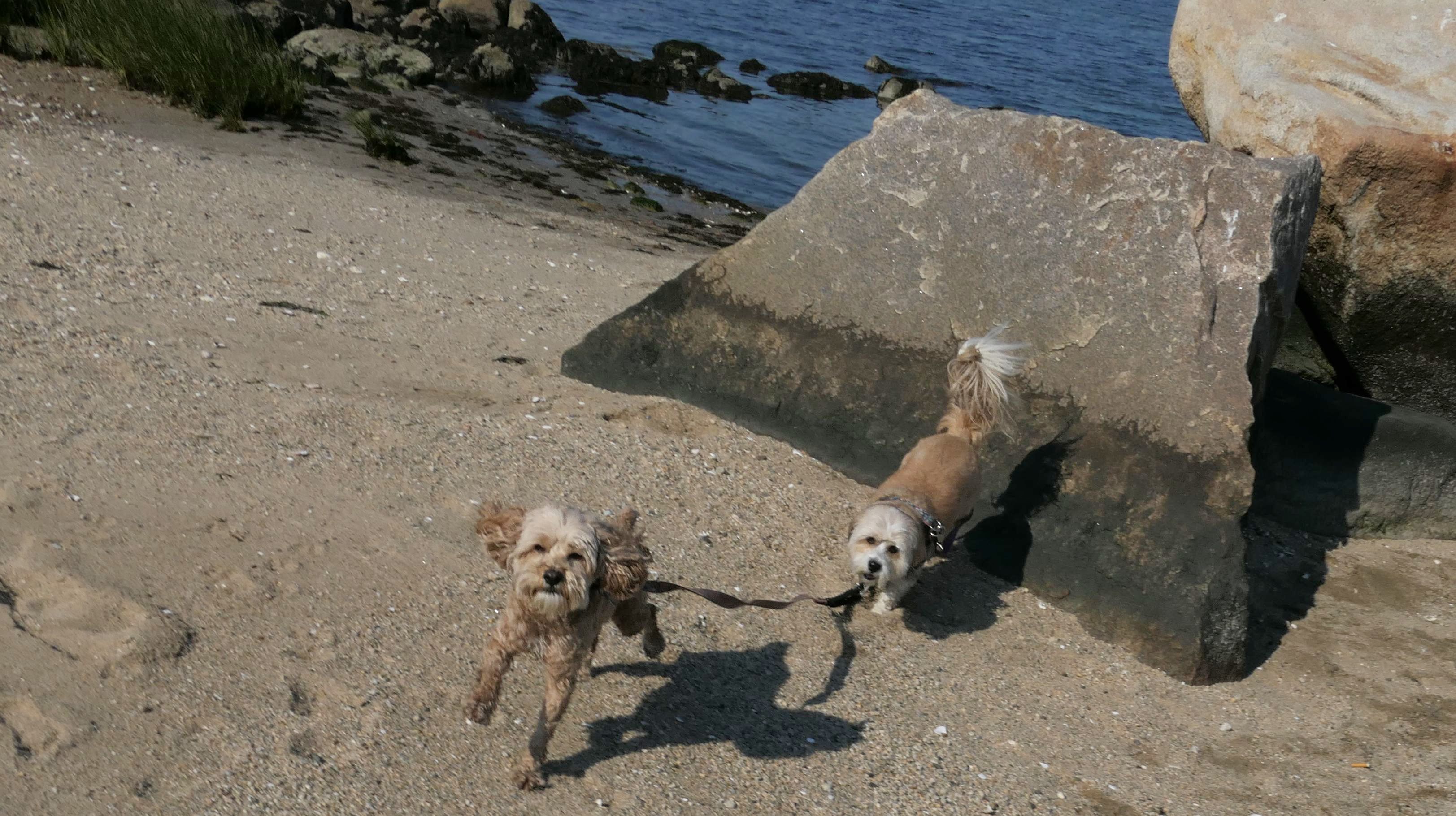
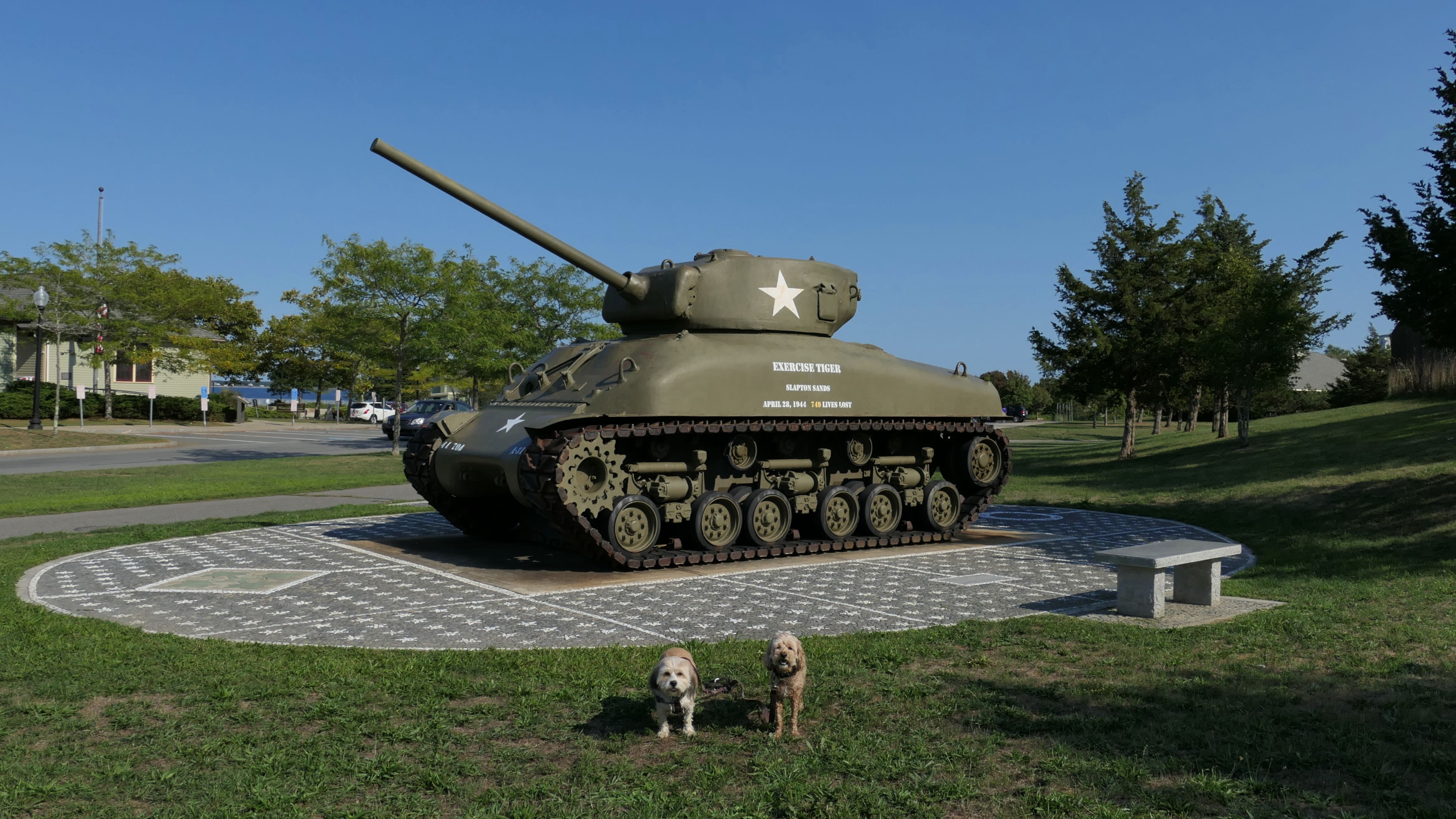
Fort Taber Park is the site of Fort Taber, a military fort built in the late 1800's. The park sits on the southern peninsula of the city looking out into Buzzard's Bay. The grounds include a walking trail that loops around the peninsula, a fishing pier, a playground, war monuments, a military museum and a beachy area. There's a bike trail that is used to complete the loop that passes the School for Marine Science & Technology. There were wild turkeys hanging out at the school. You can see them in the shadow of the building in one of the pictures. I couldn't get them to pose with the dogs. I don't know what the significance of the planet signs are. We passed signs for Jupiter, Saturn and Uranus. Maybe there are others we missed?
More Images
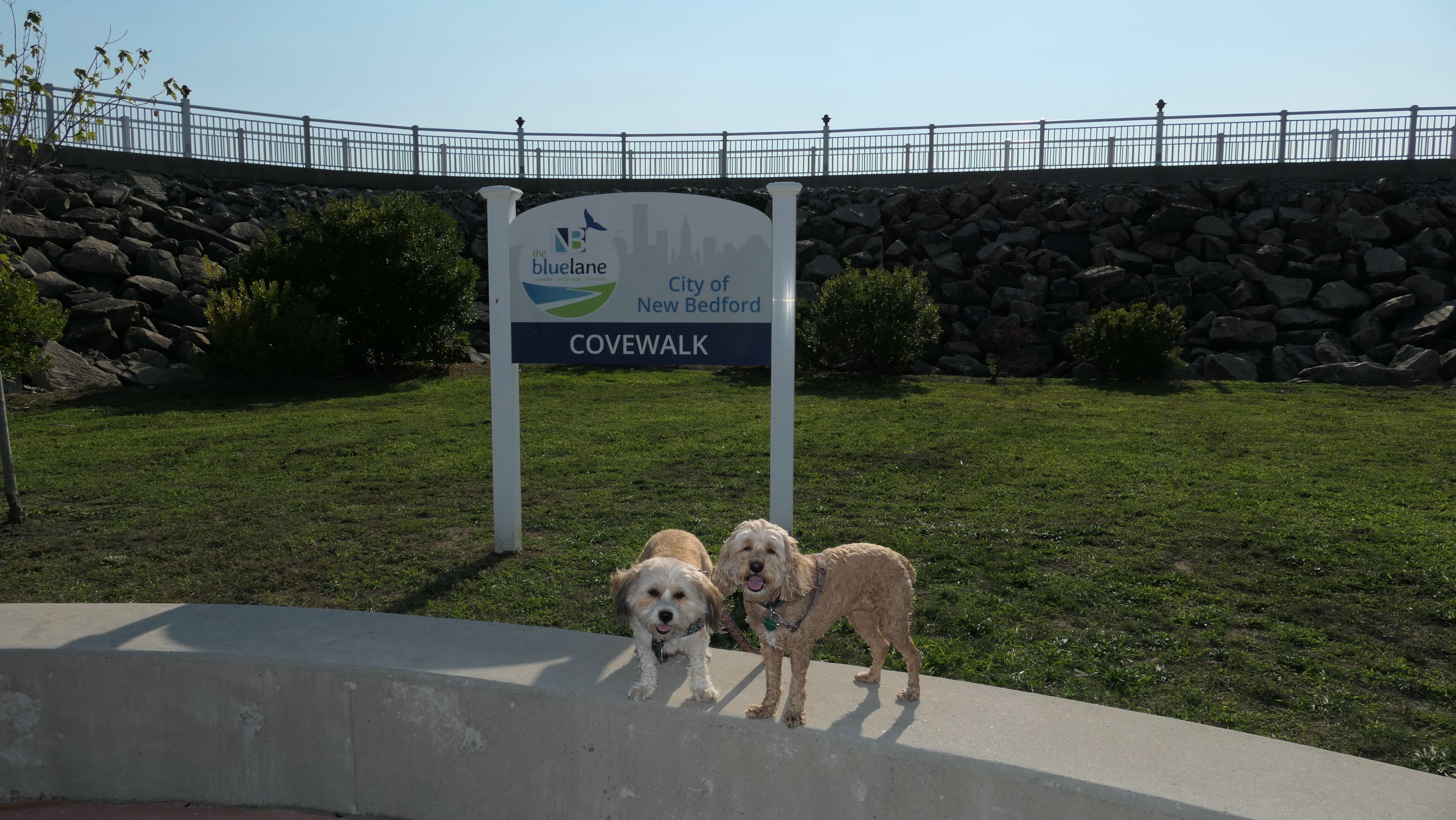
Cove Walk
Date visited: 9/9/2022
There's Harbor Walk, River Walk and Cove Walk. We visited Cove Walk, because I saw the parking area for it. We only walked about half of it, because it was pretty boring. It was a nice day, but Mandy was getting tired and we had already walked three miles at Fort Taber Park, so we cut this one short.
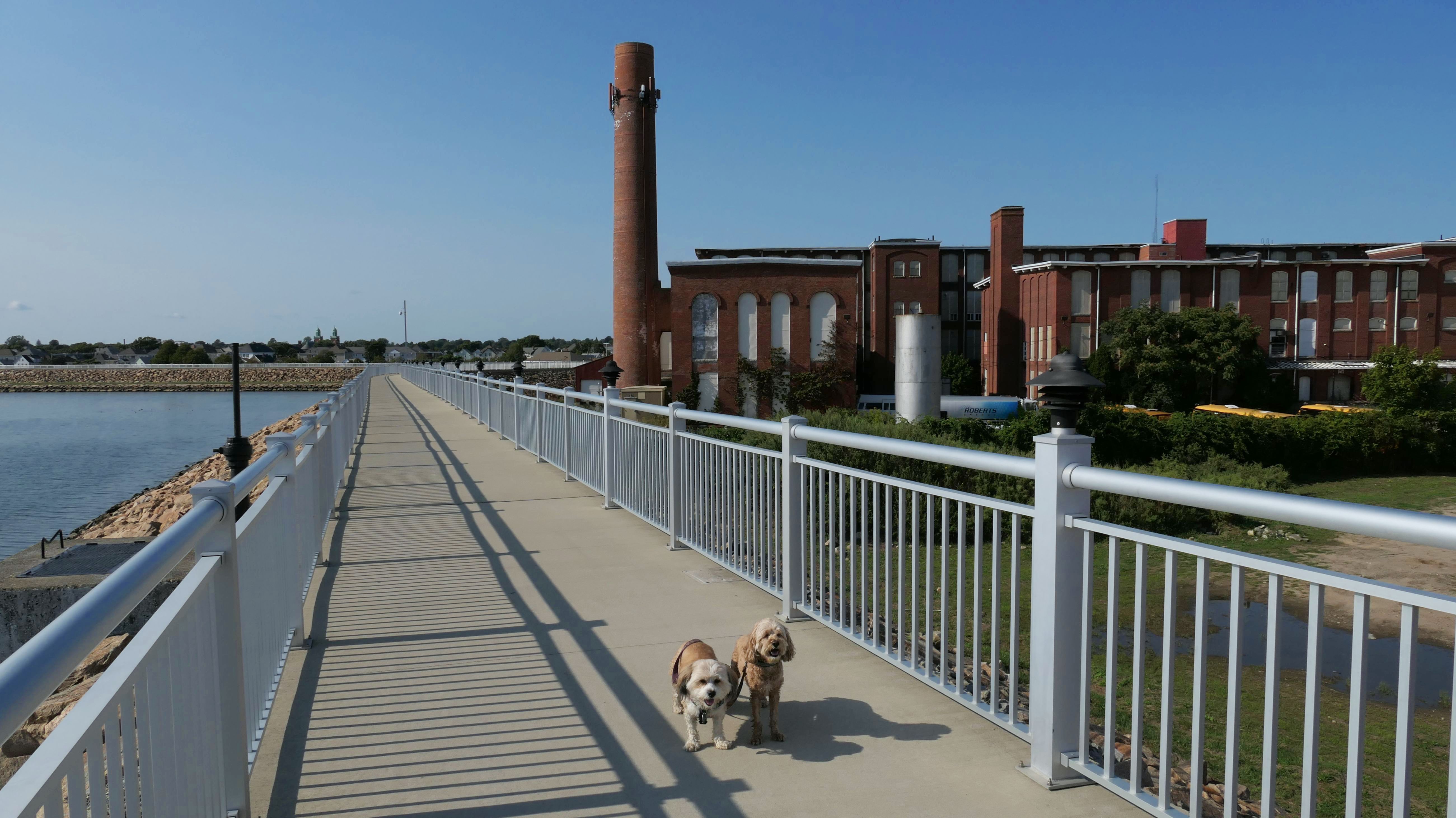
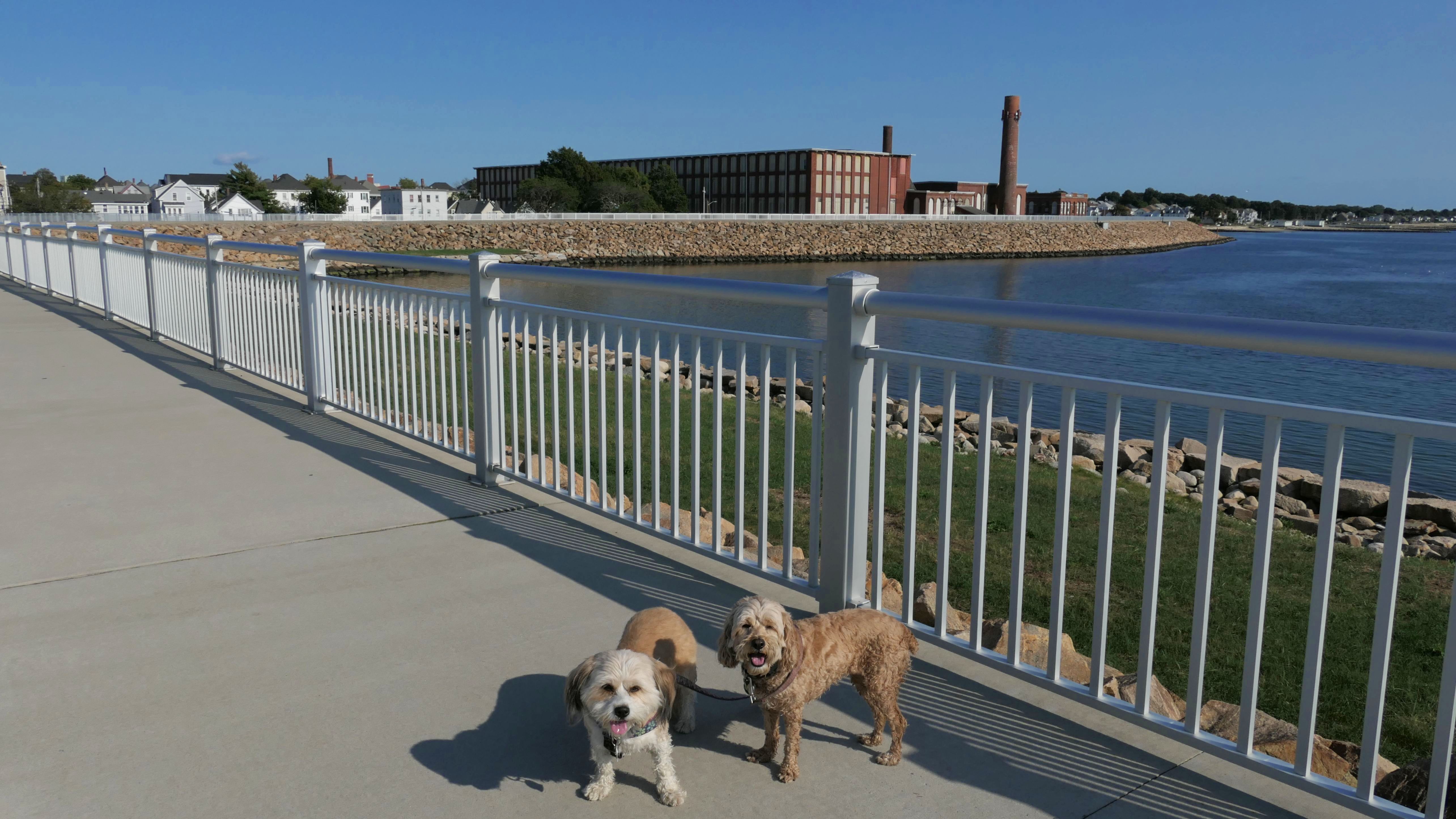
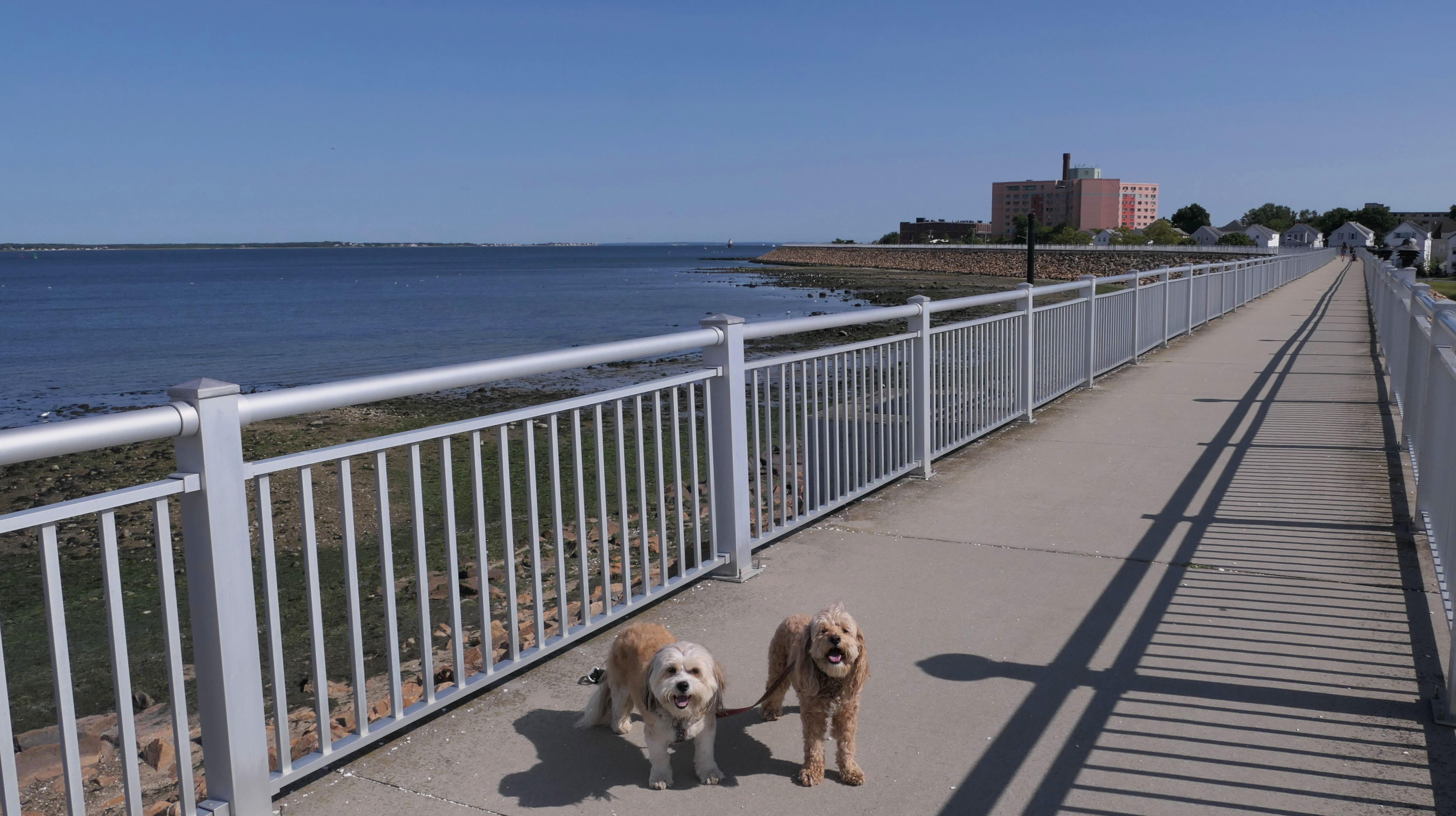
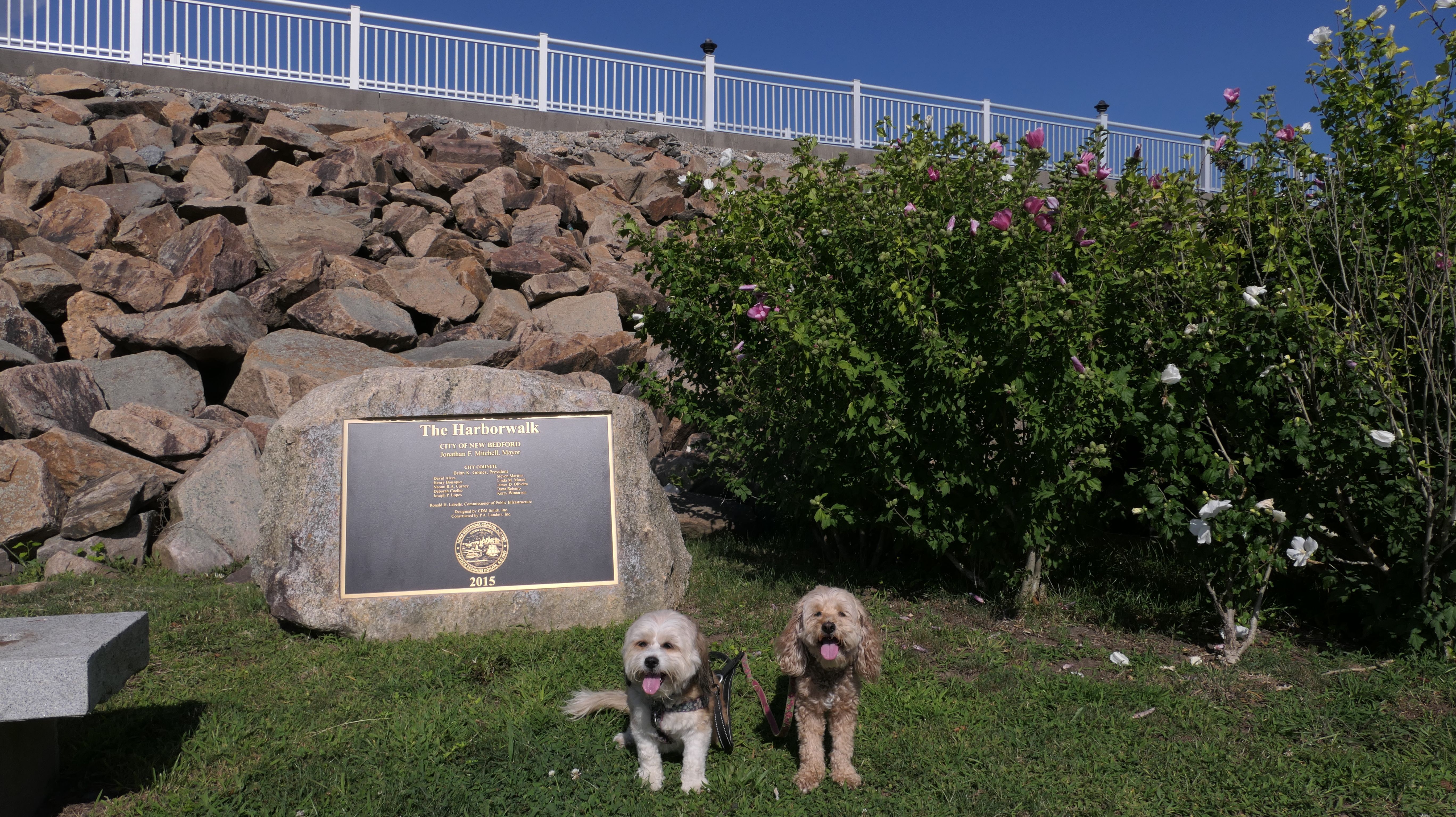
Harborwalk
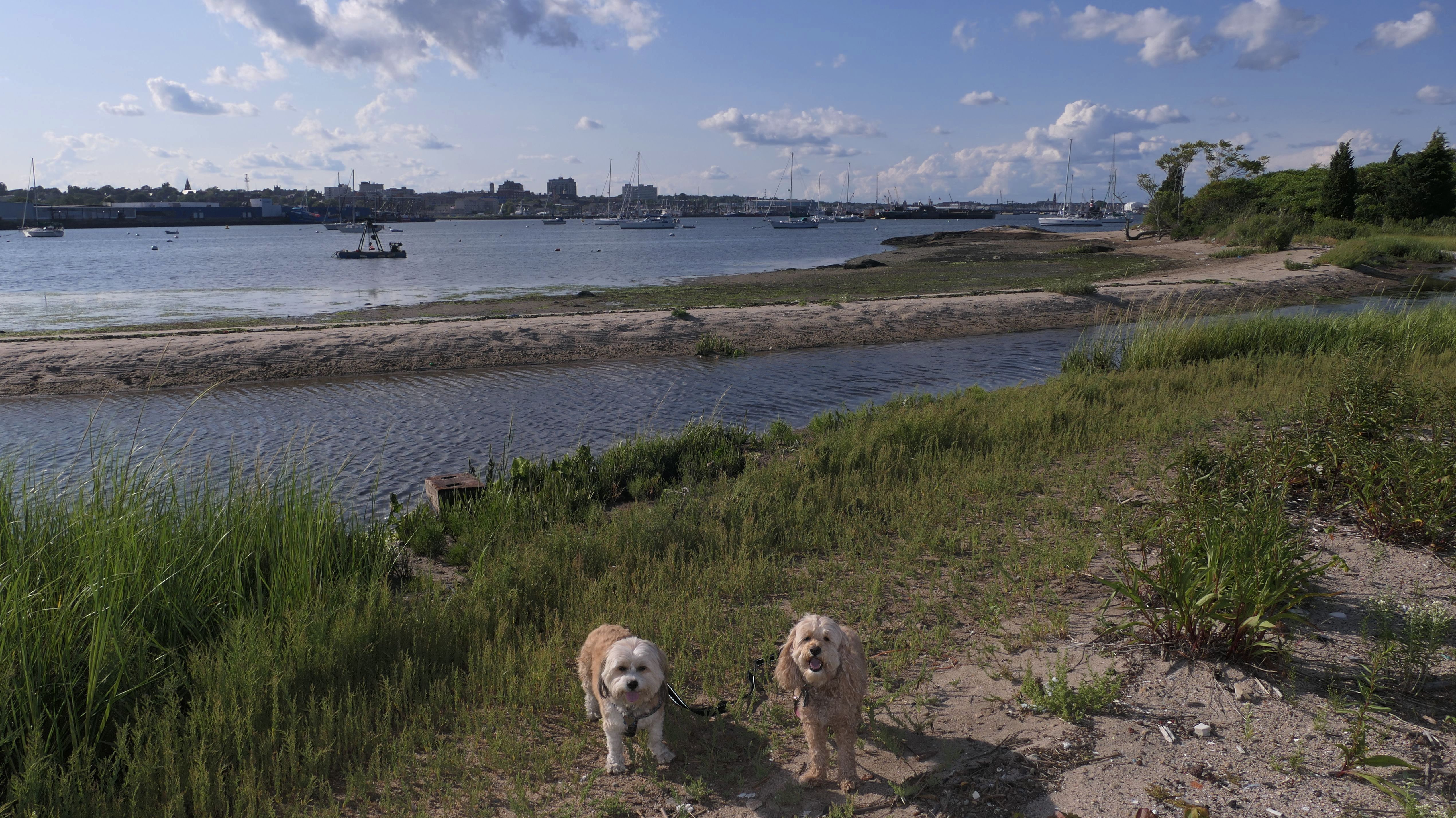
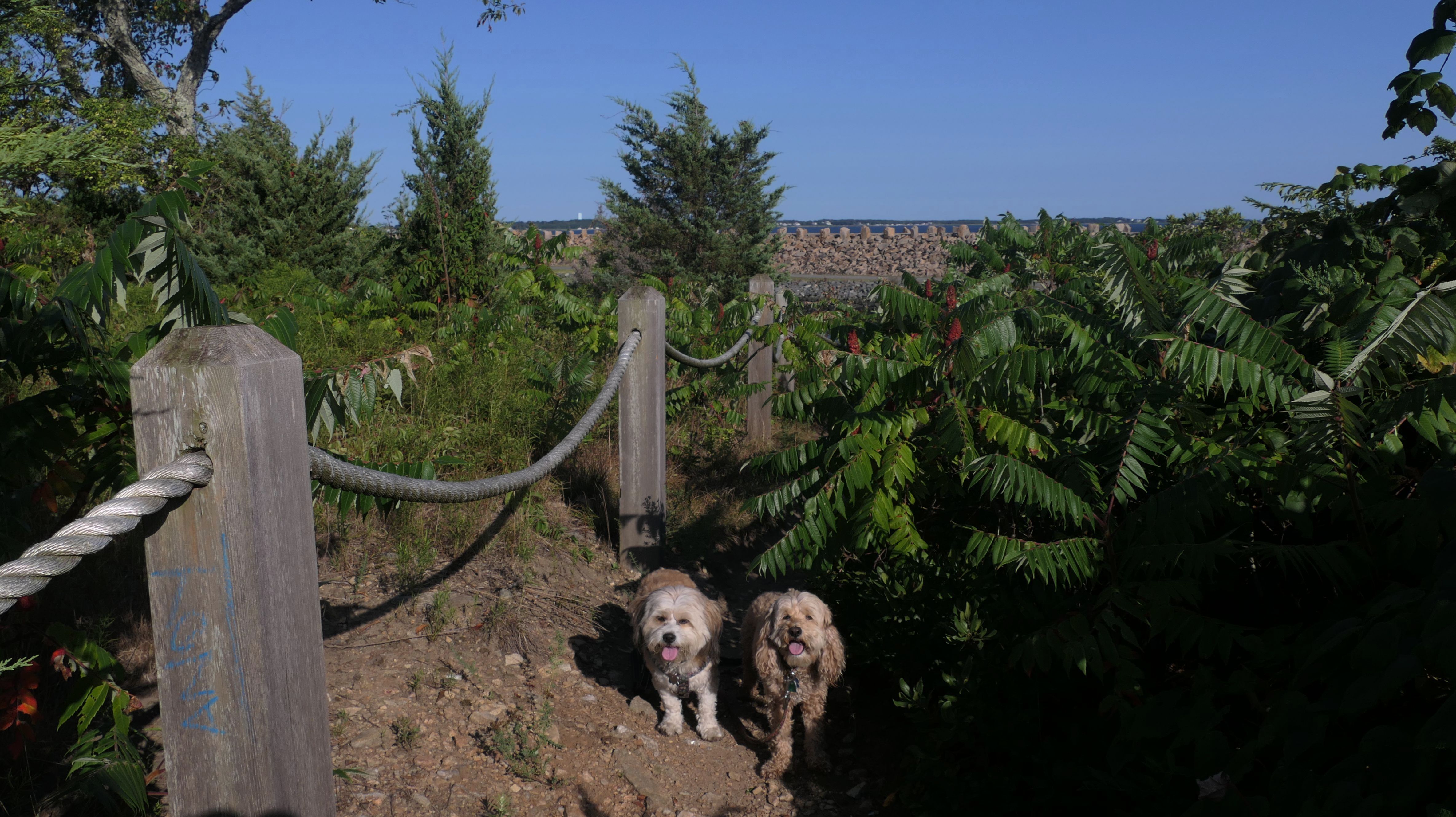
Date visited: 8/21/2024
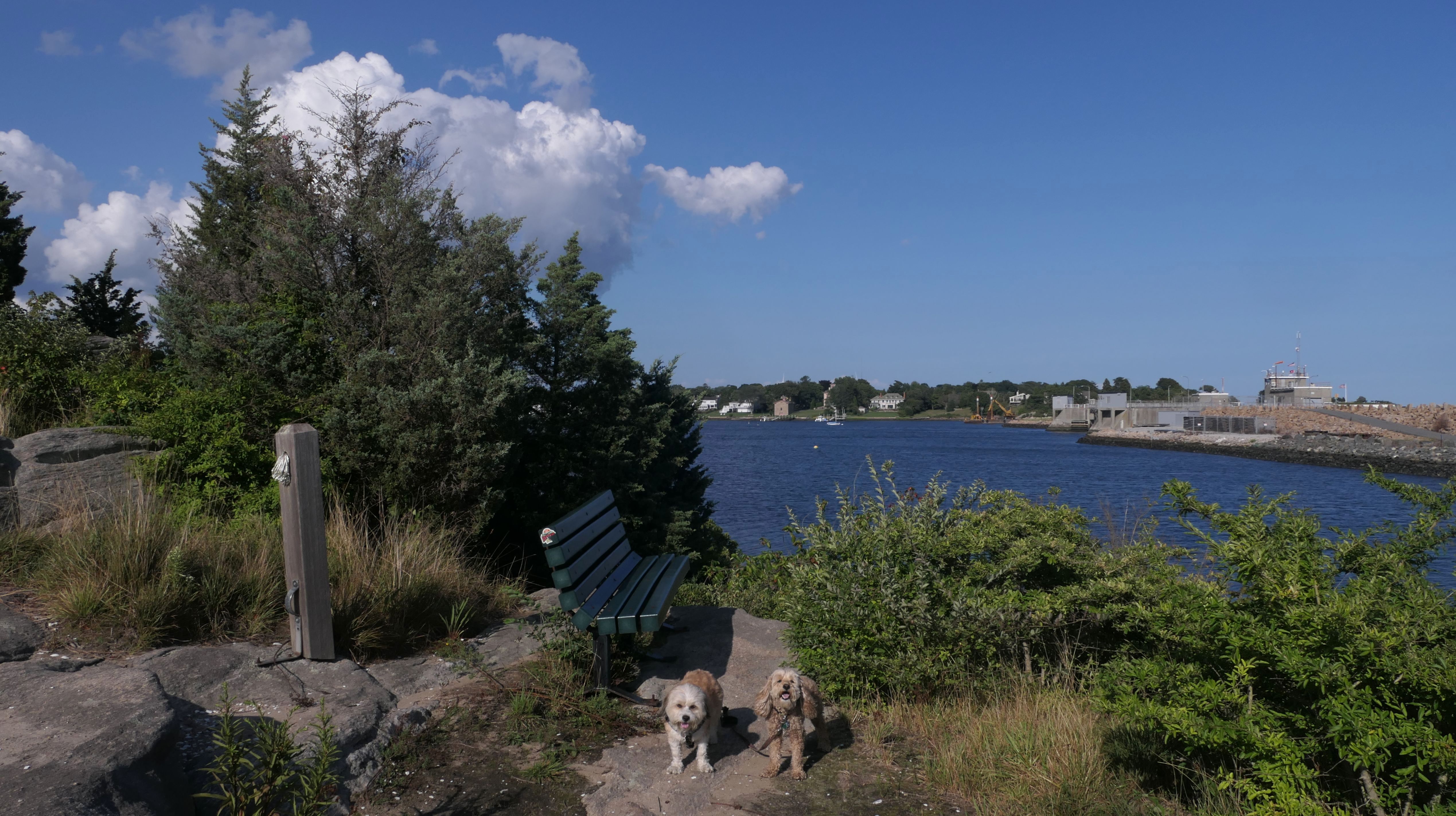
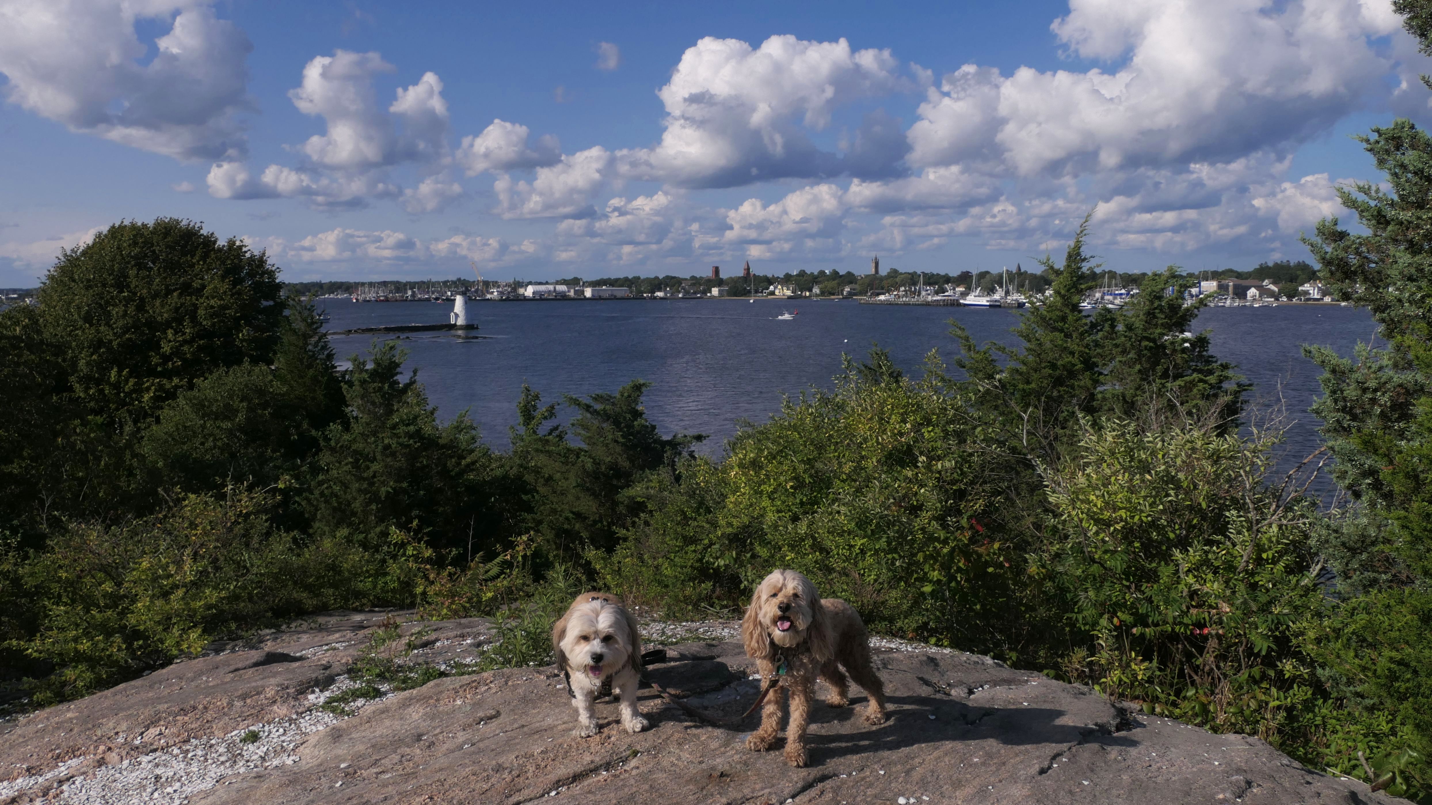
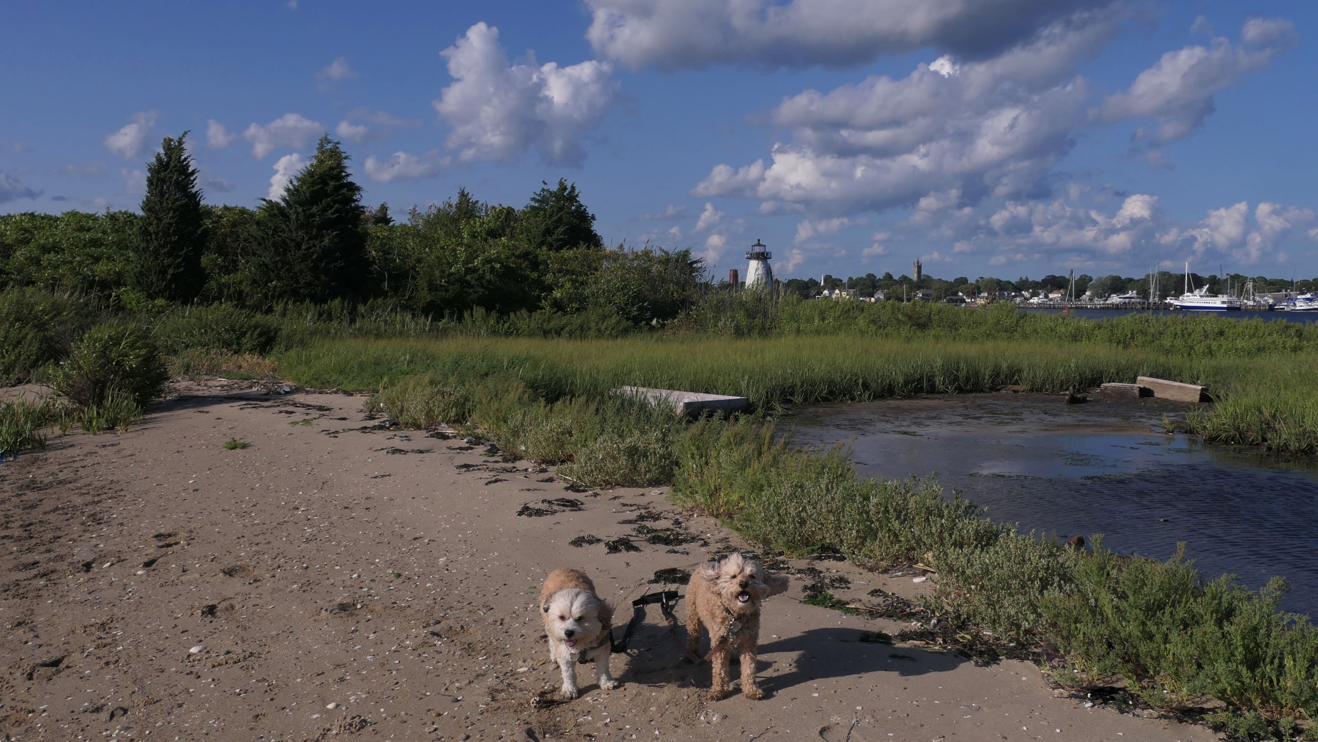
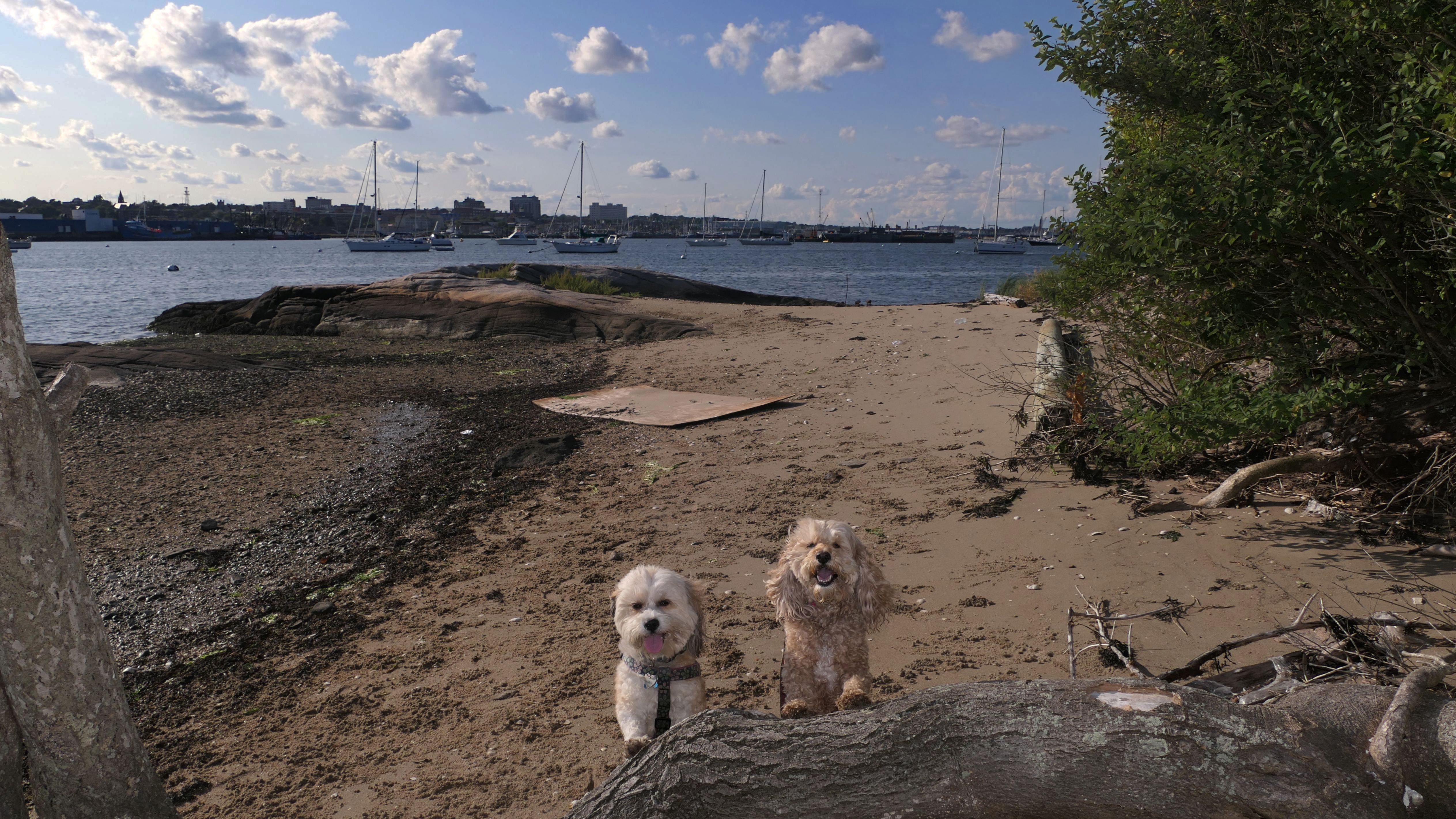
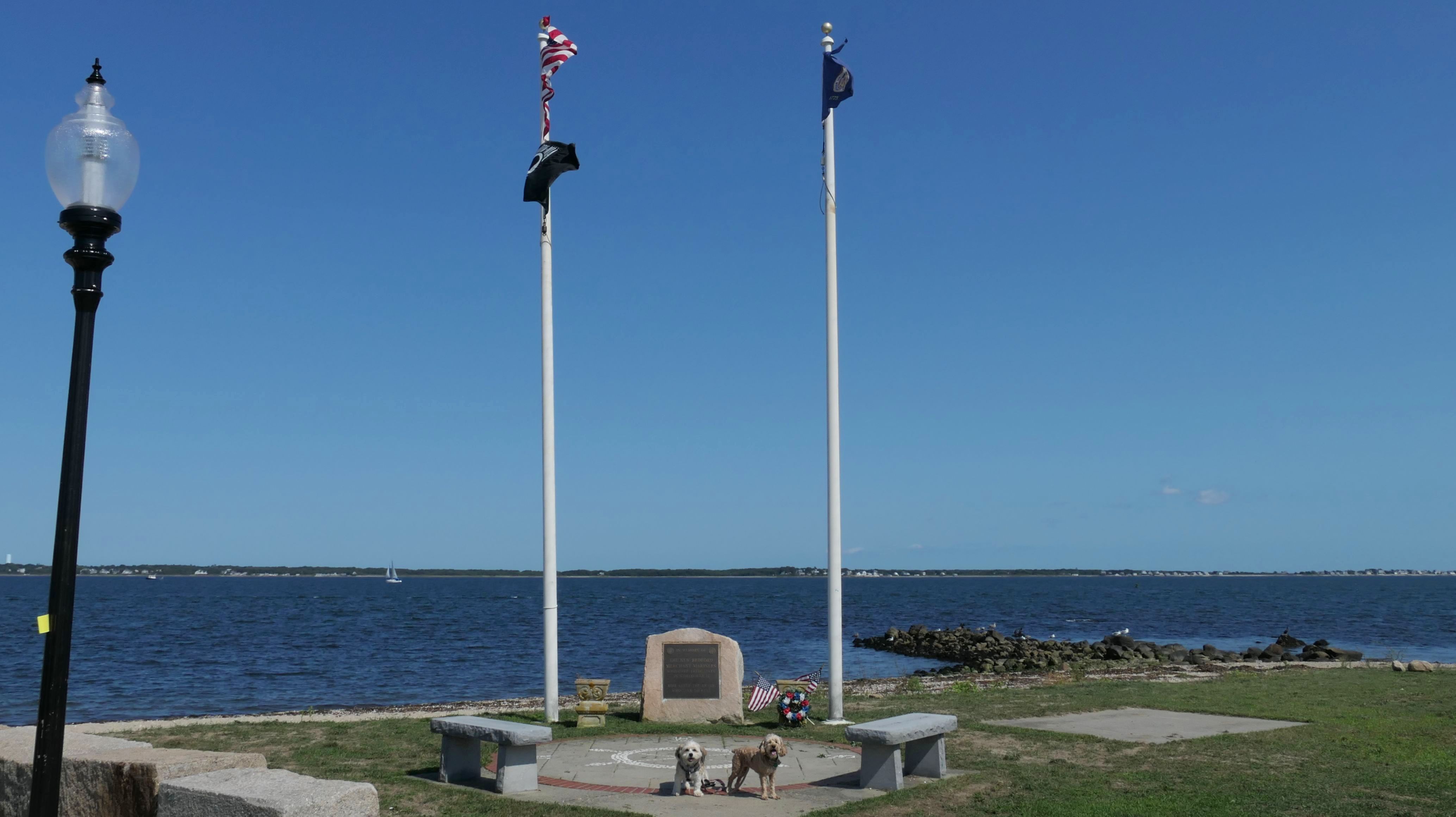
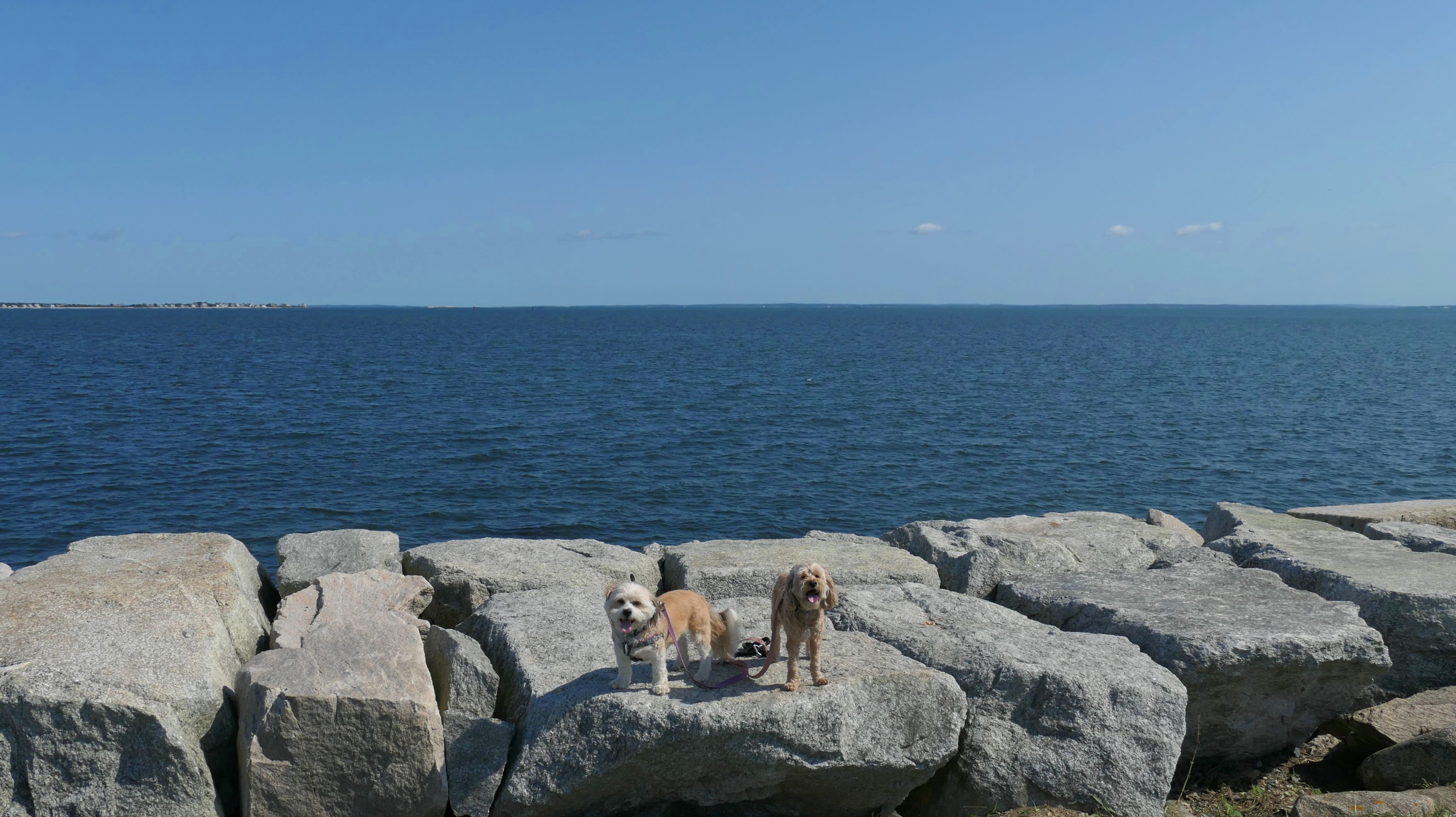
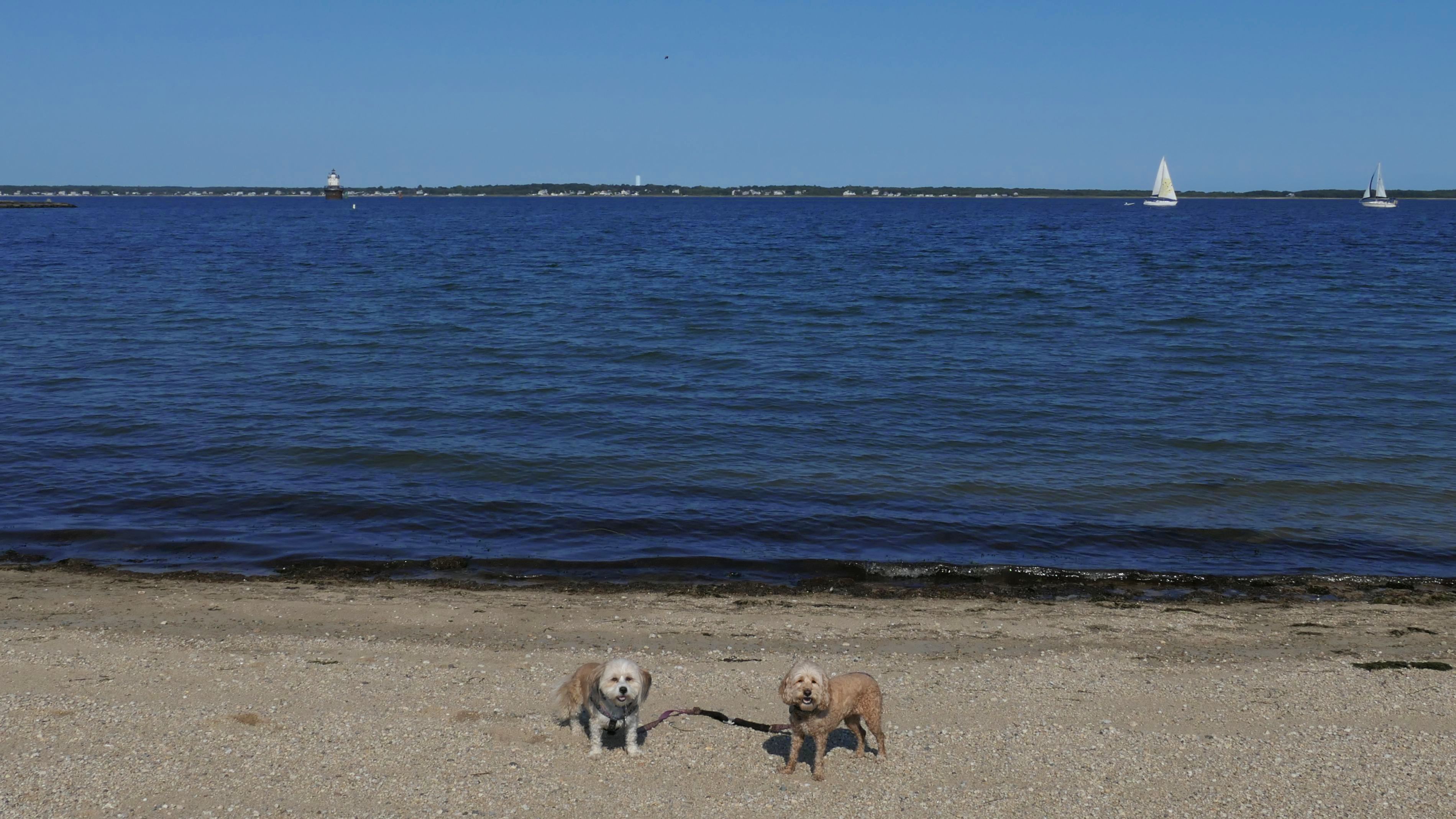
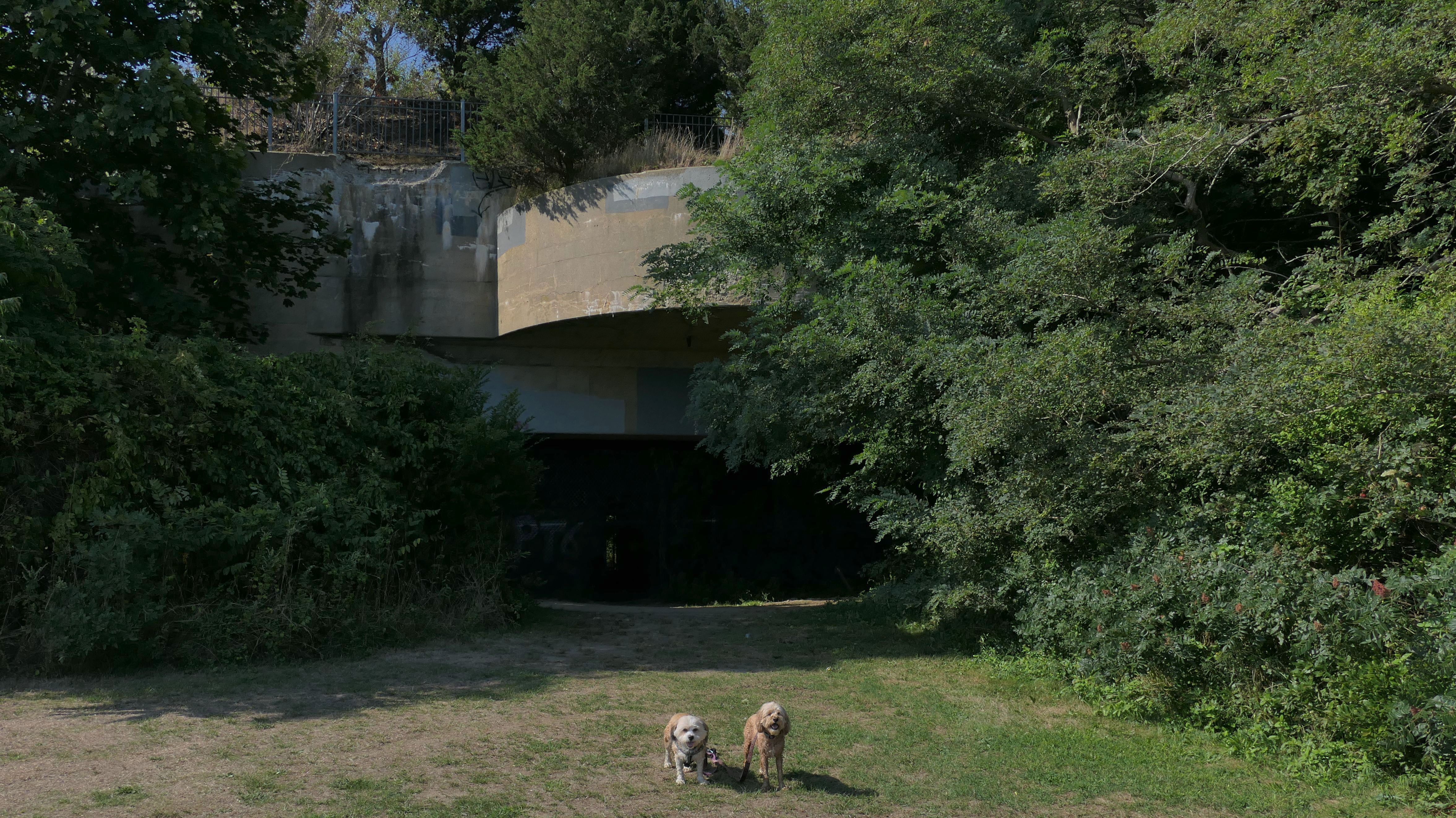
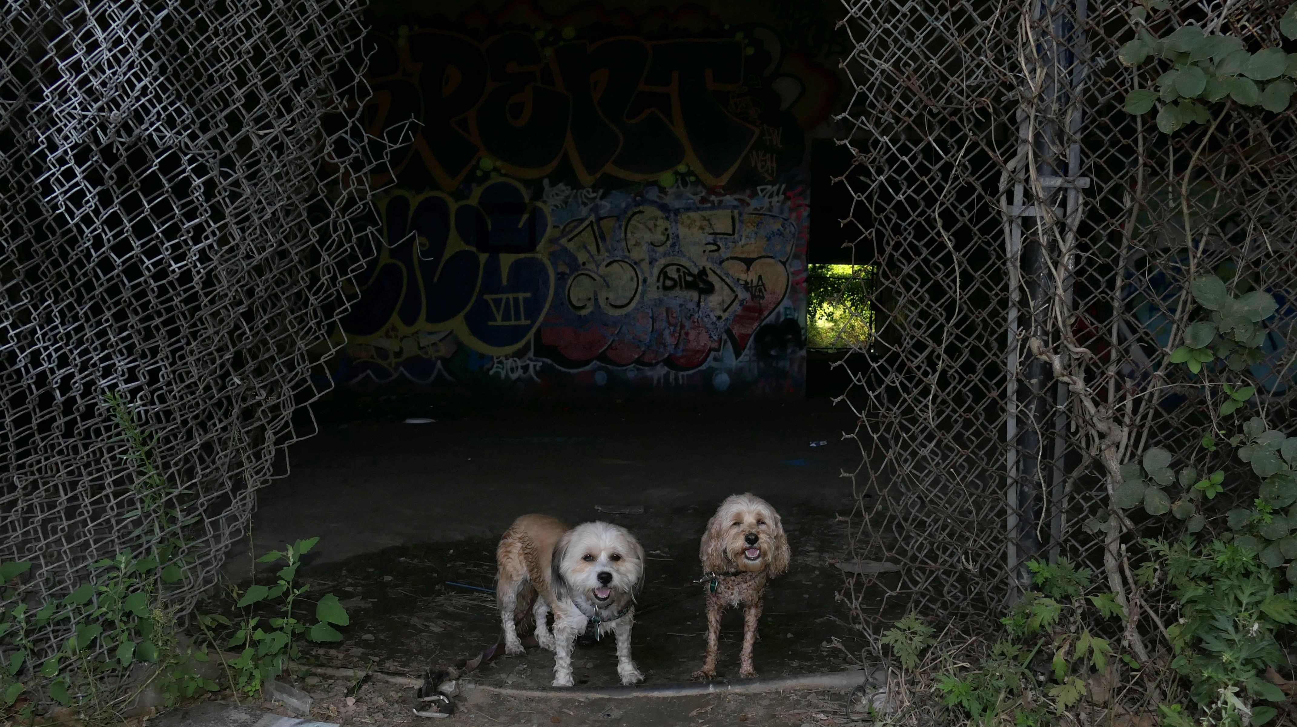
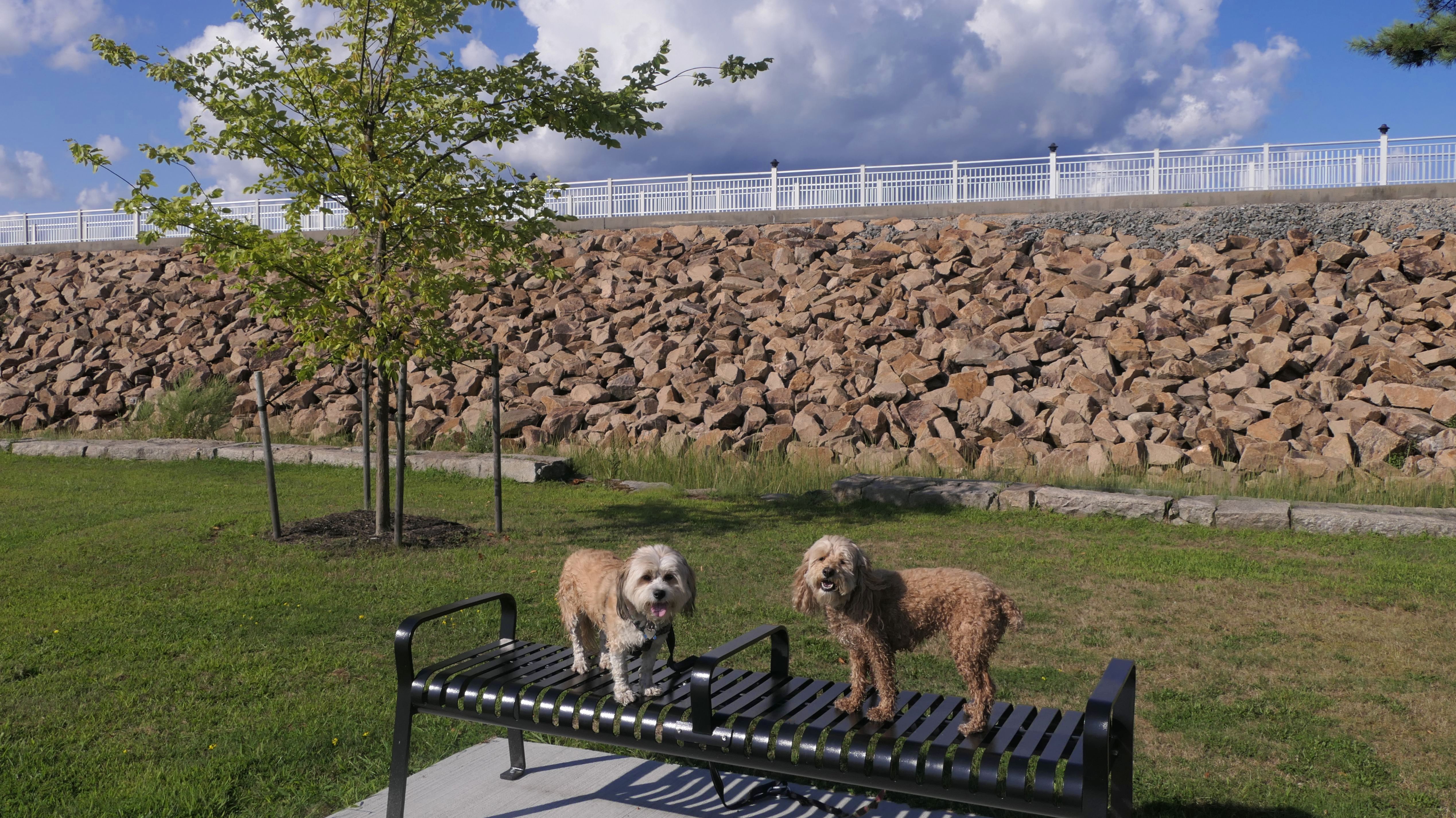
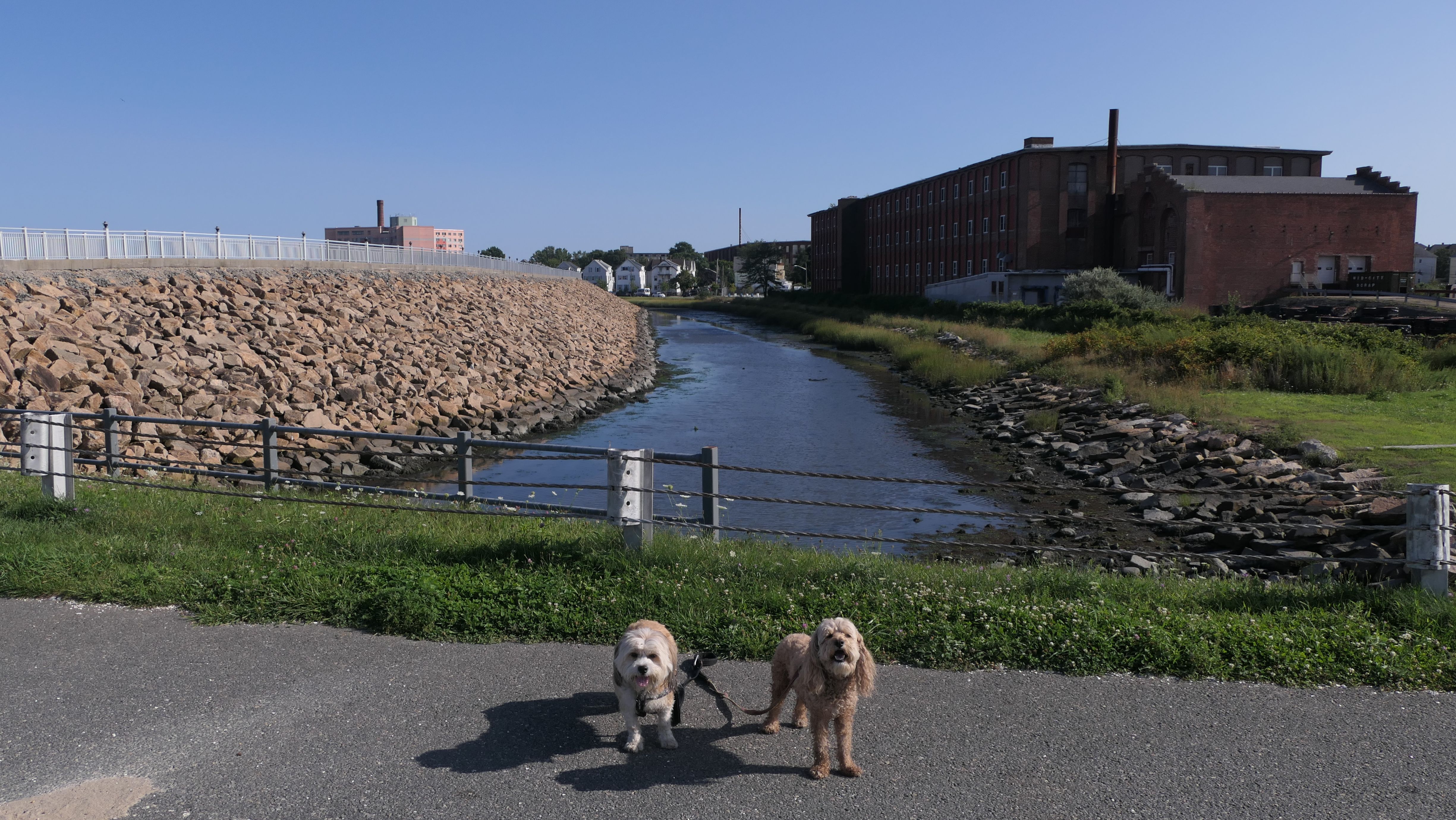
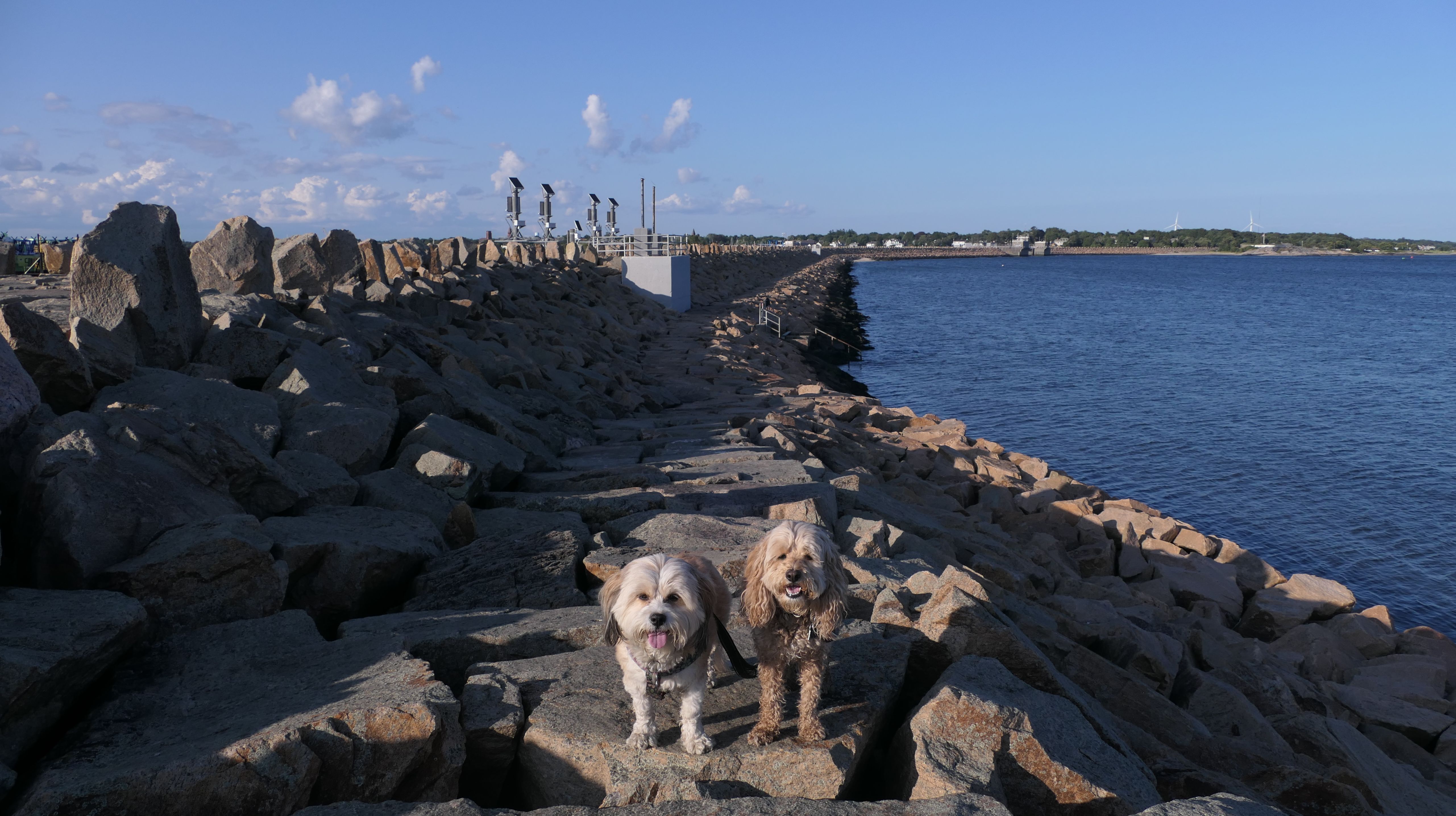
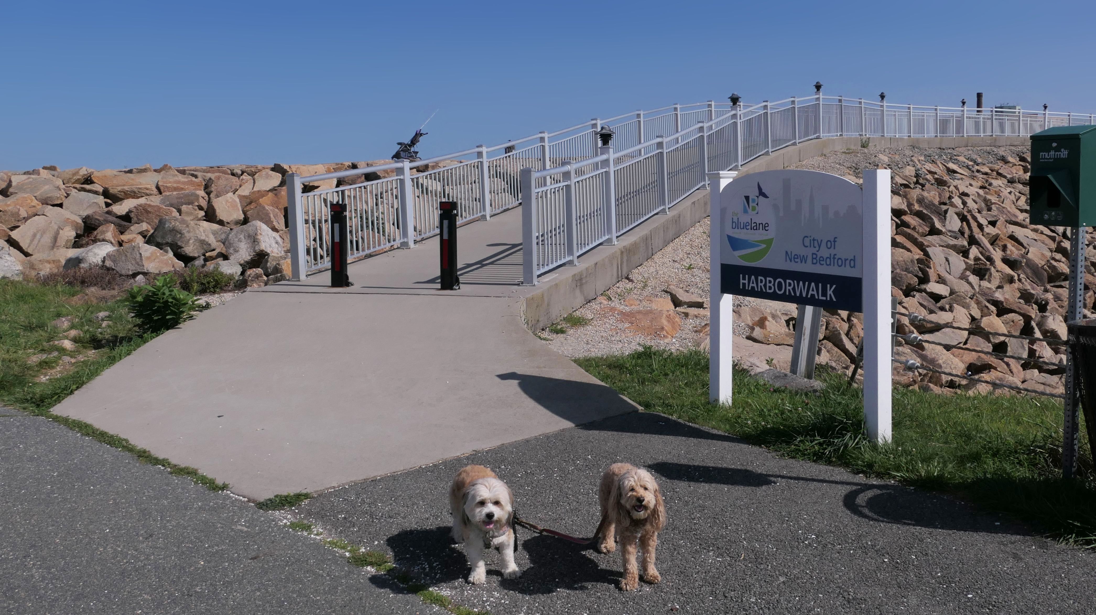
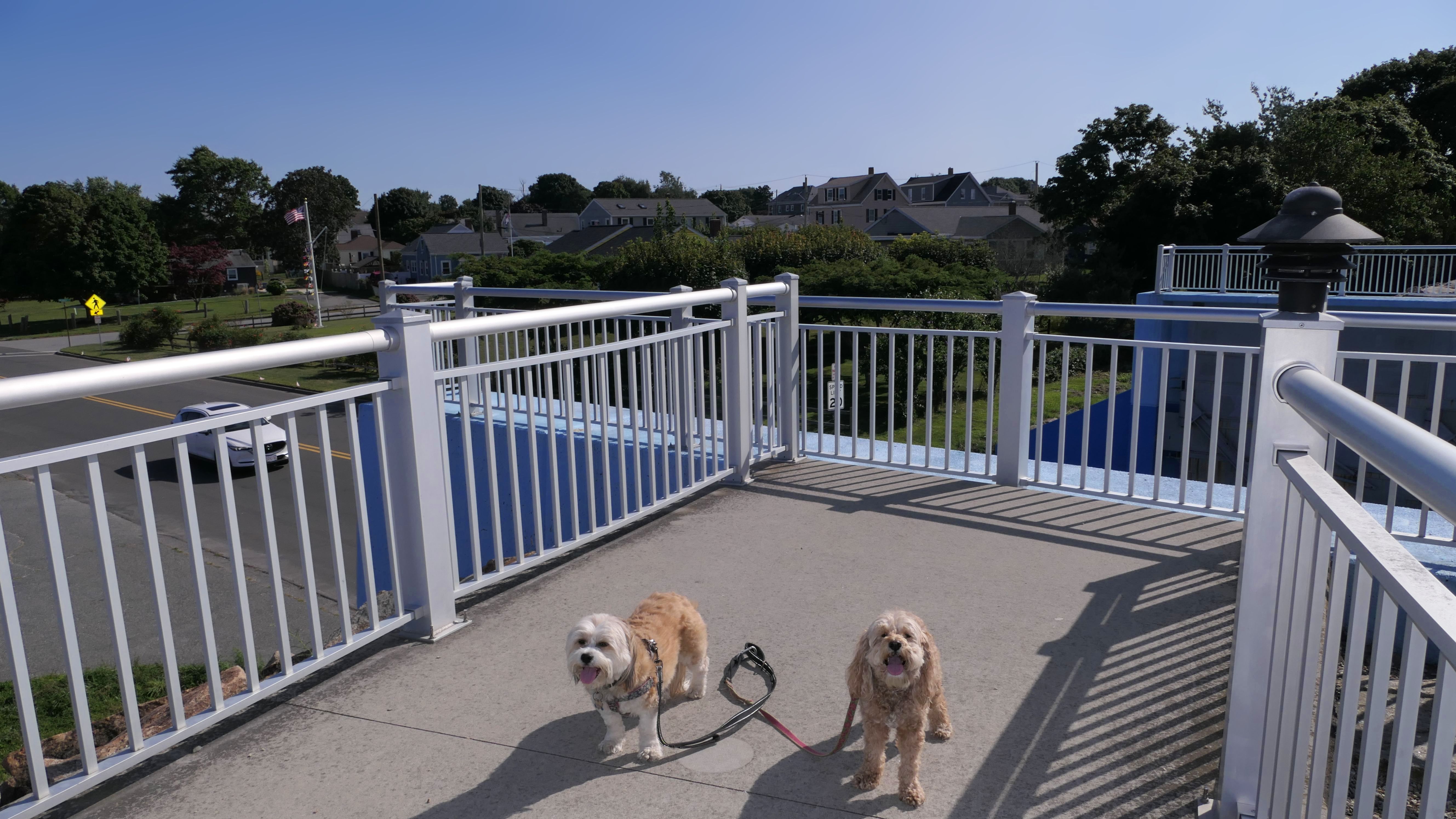
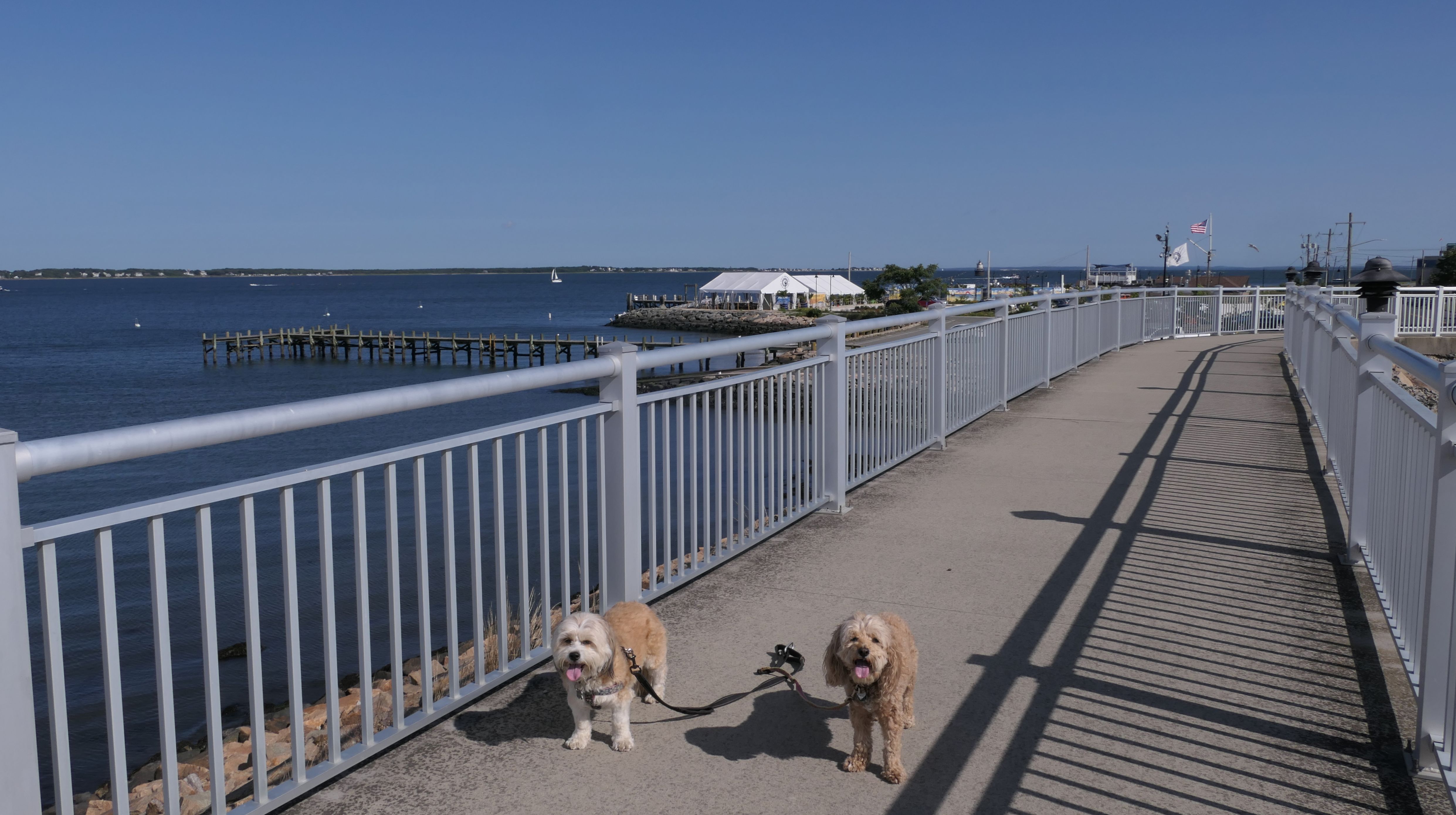
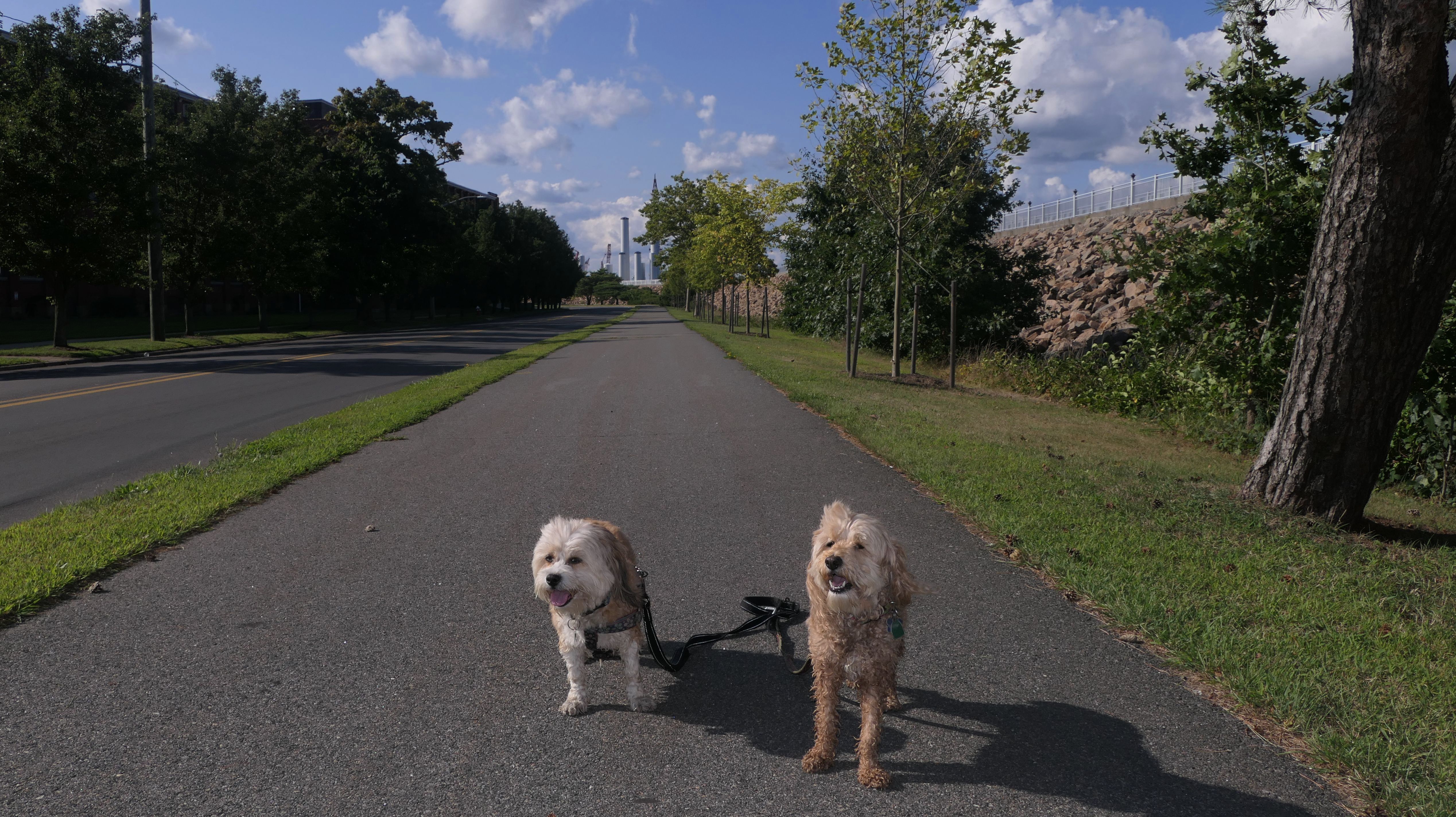
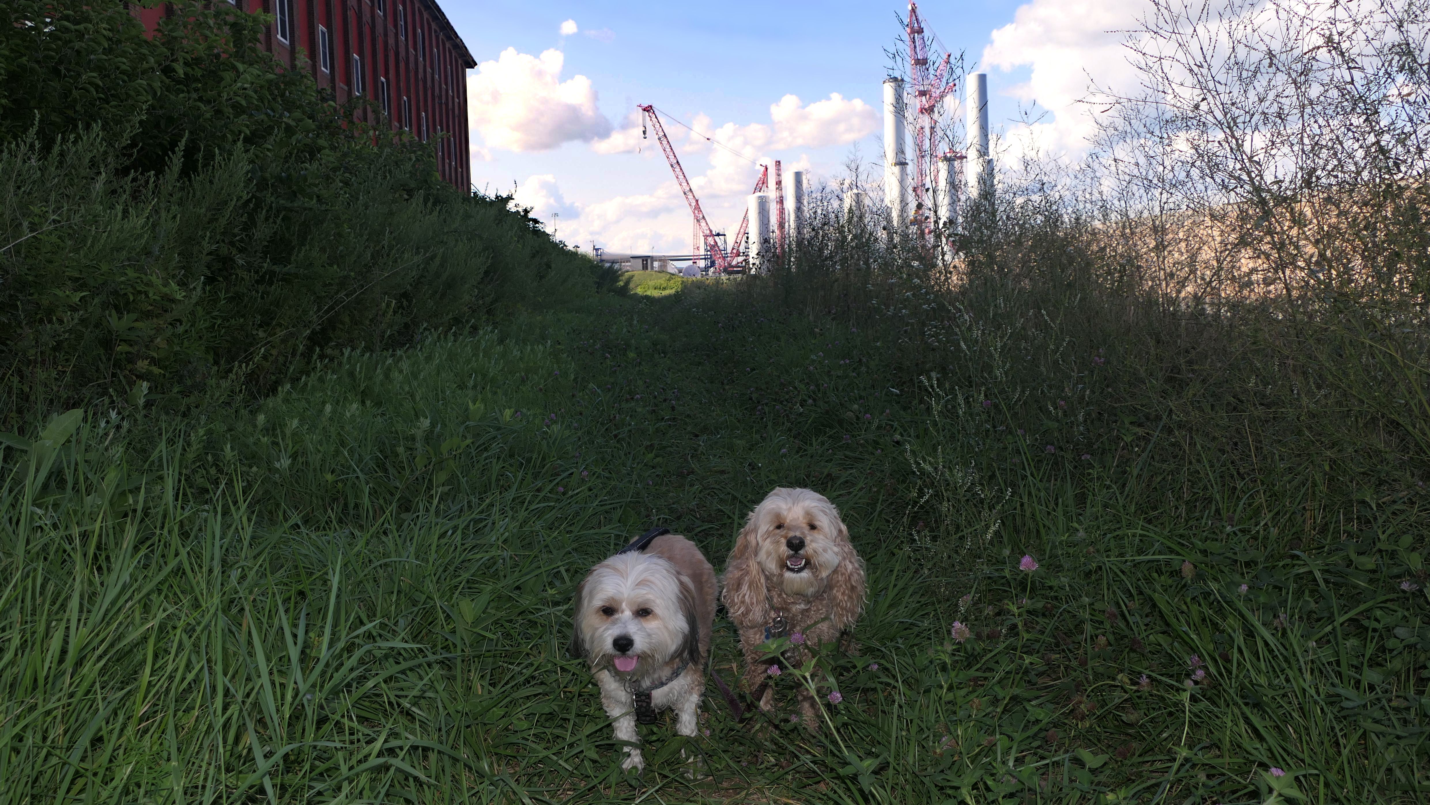
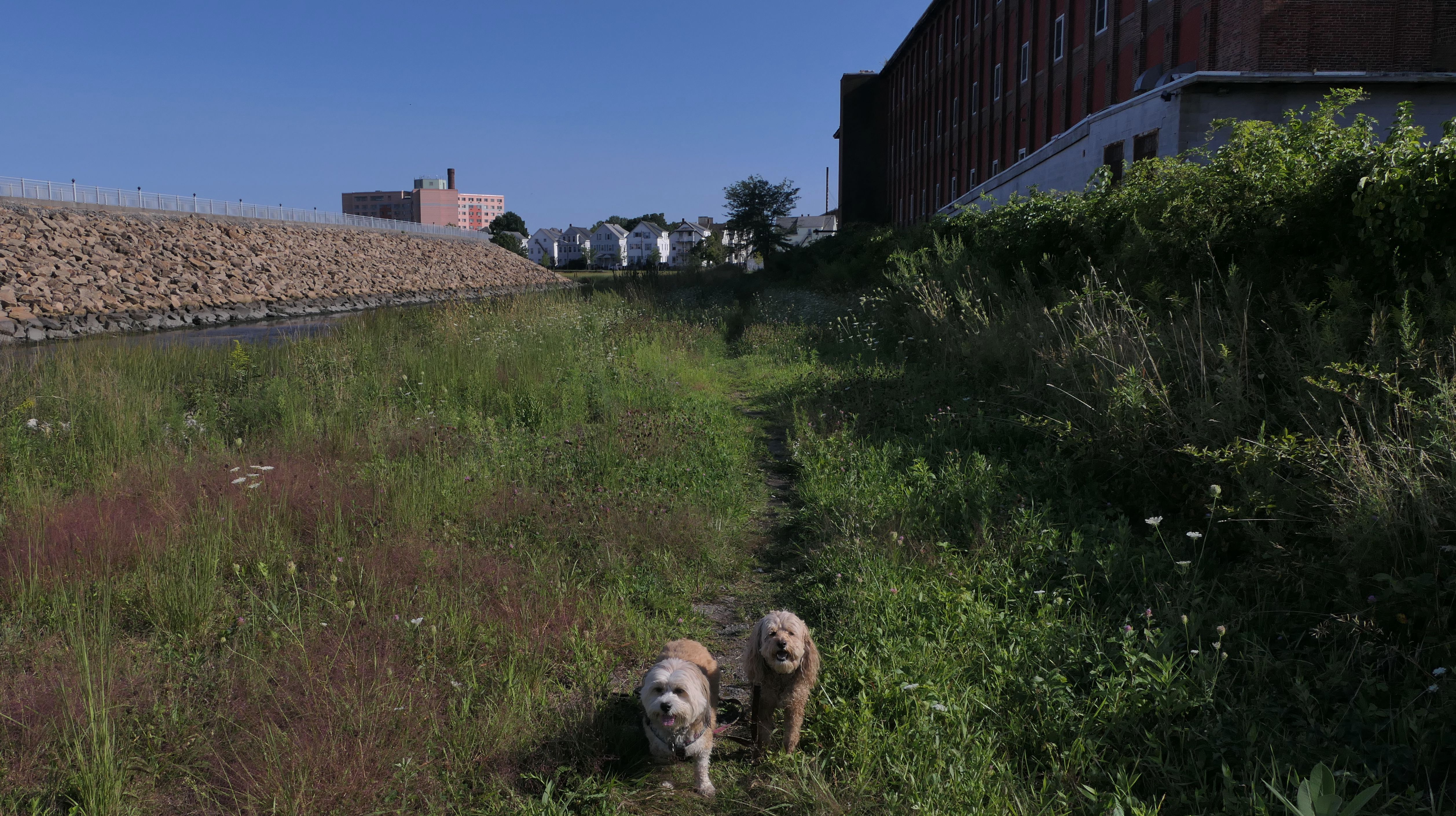
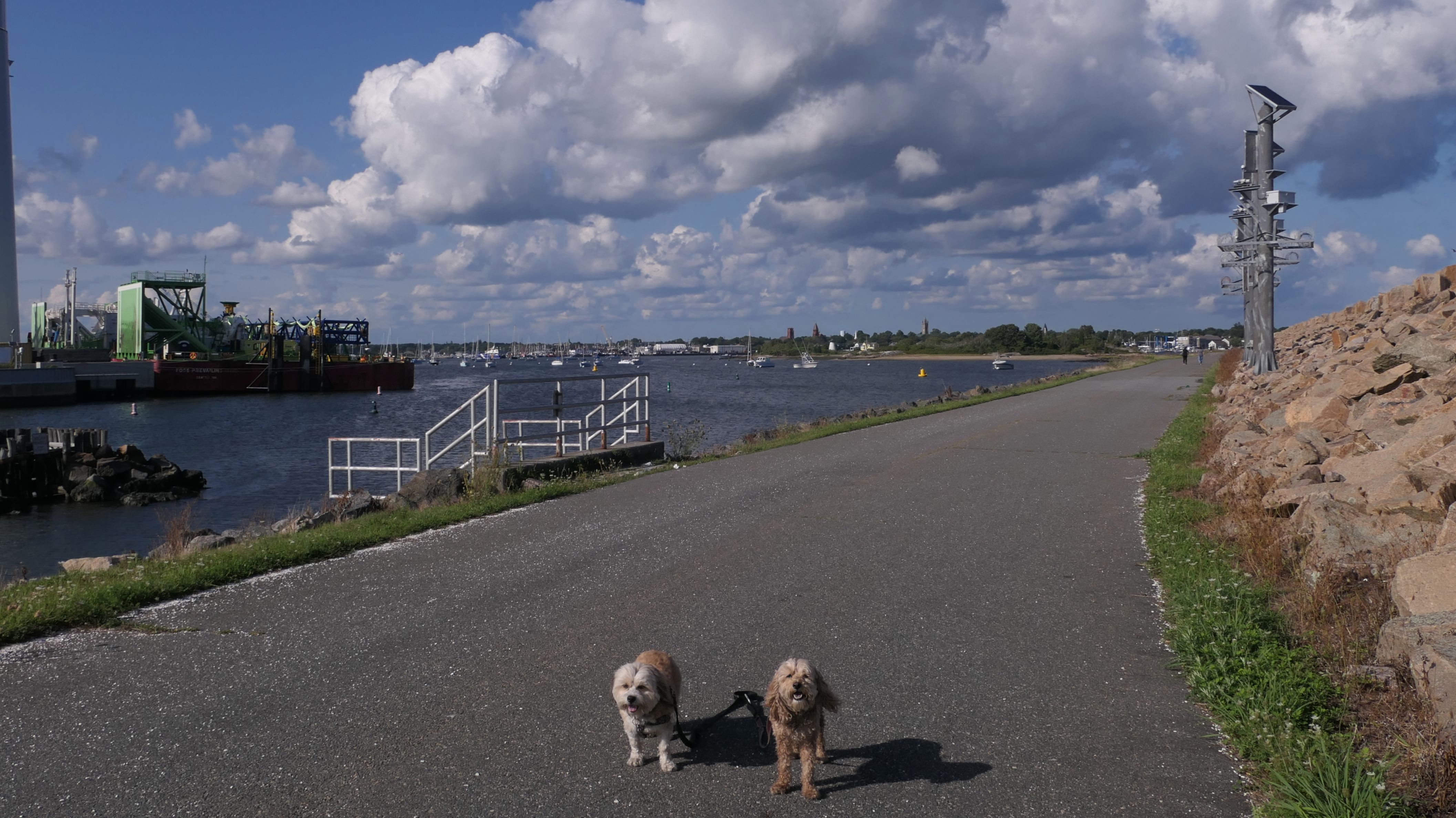
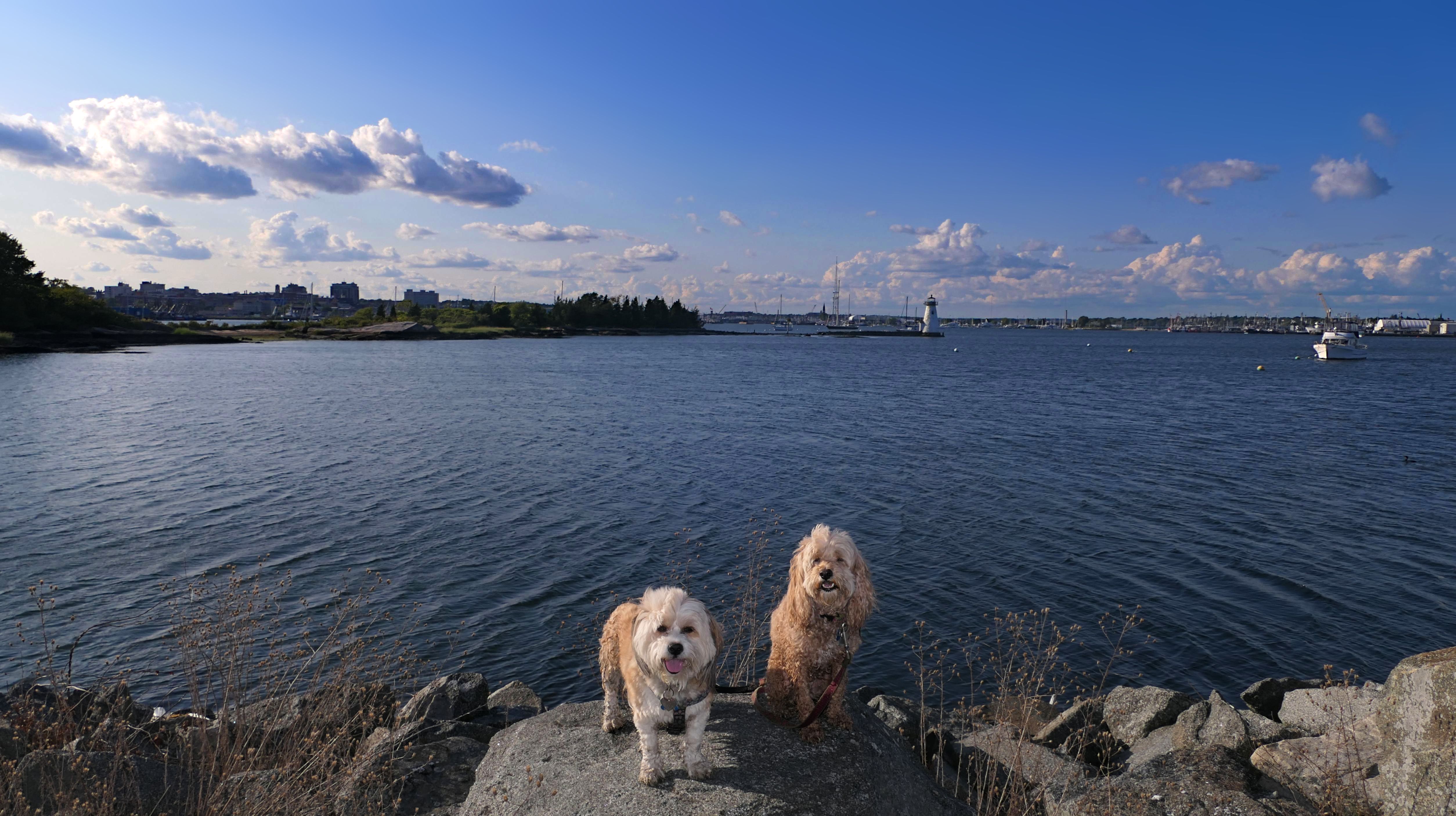
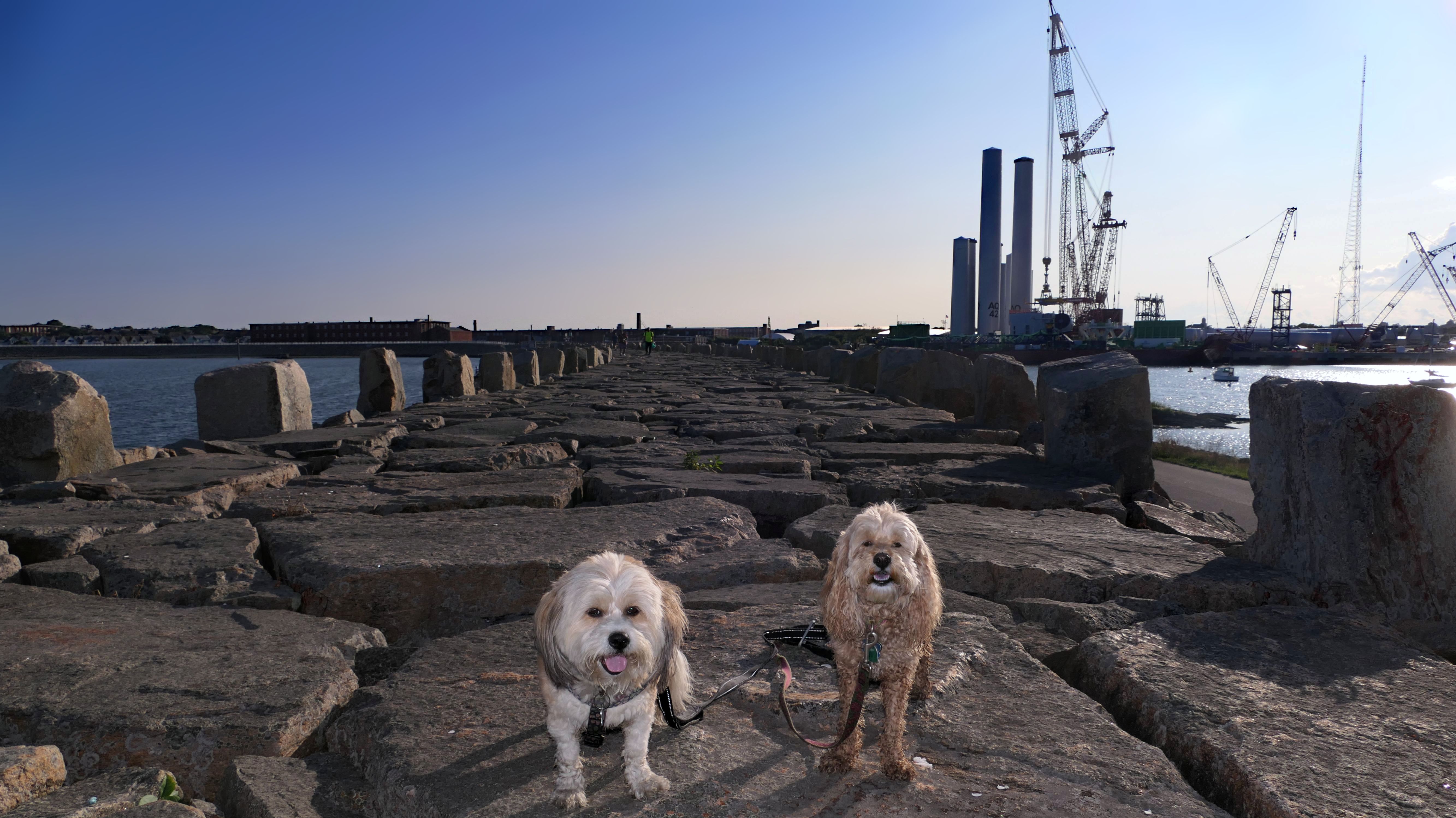
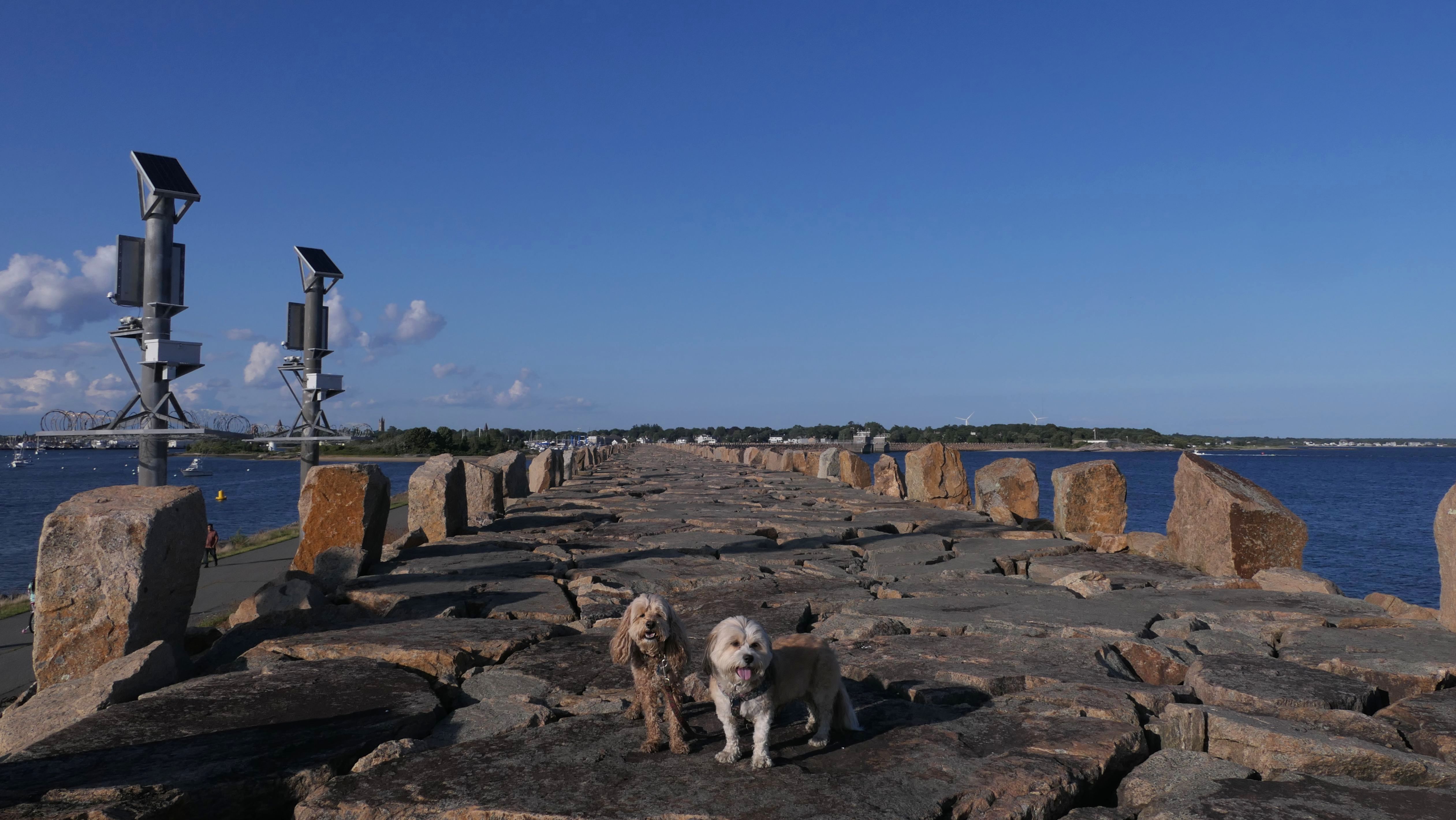
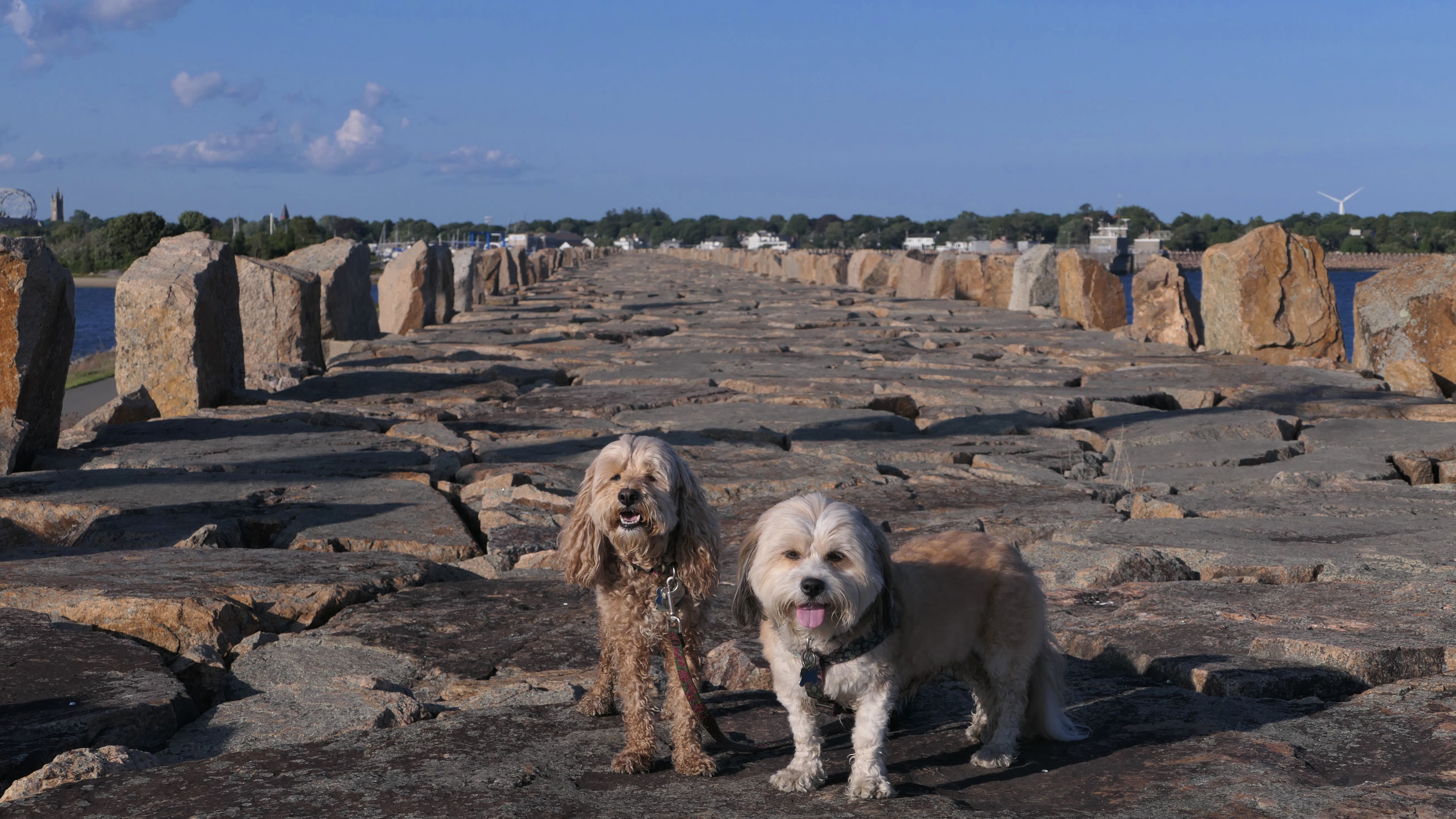
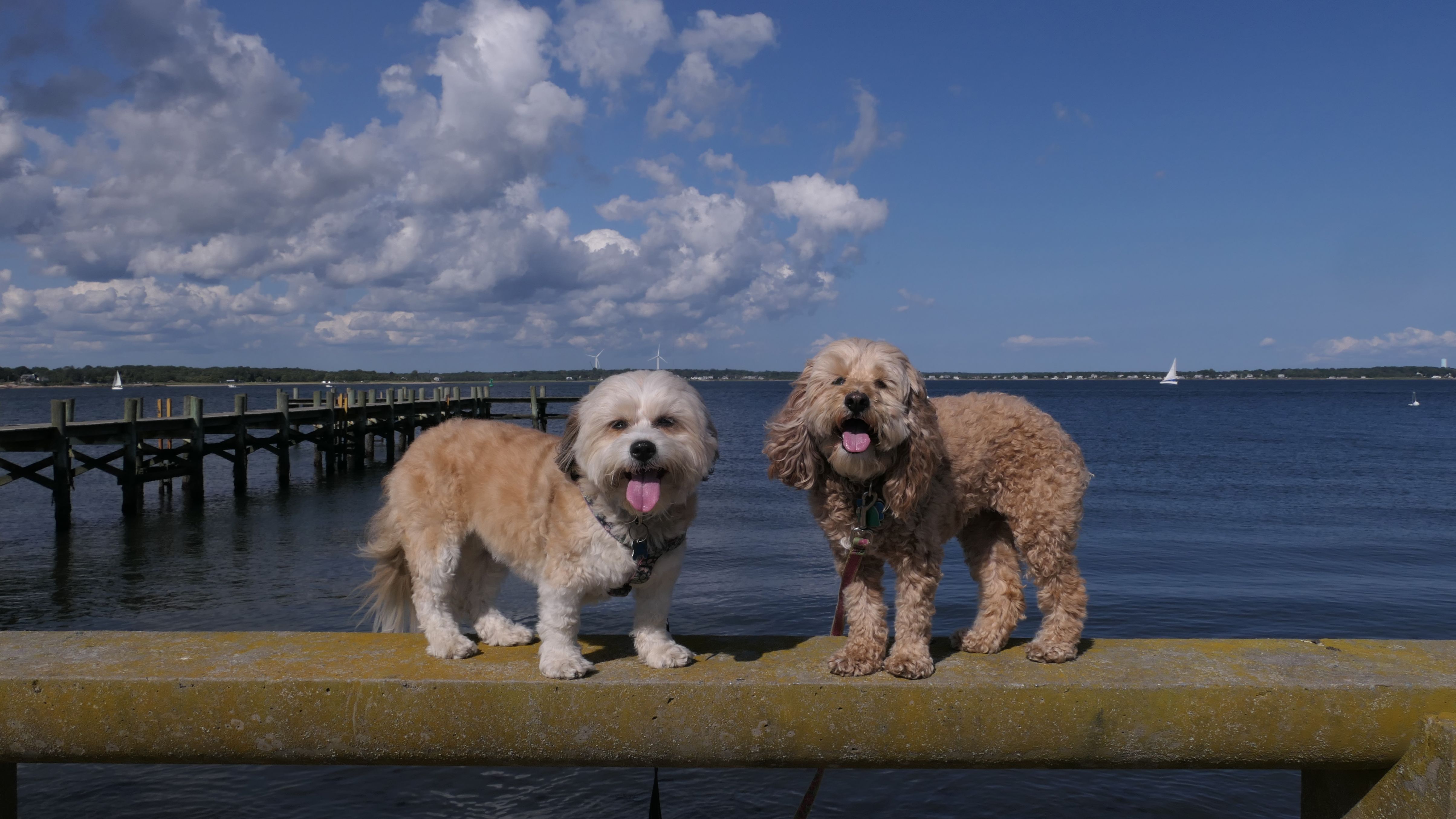
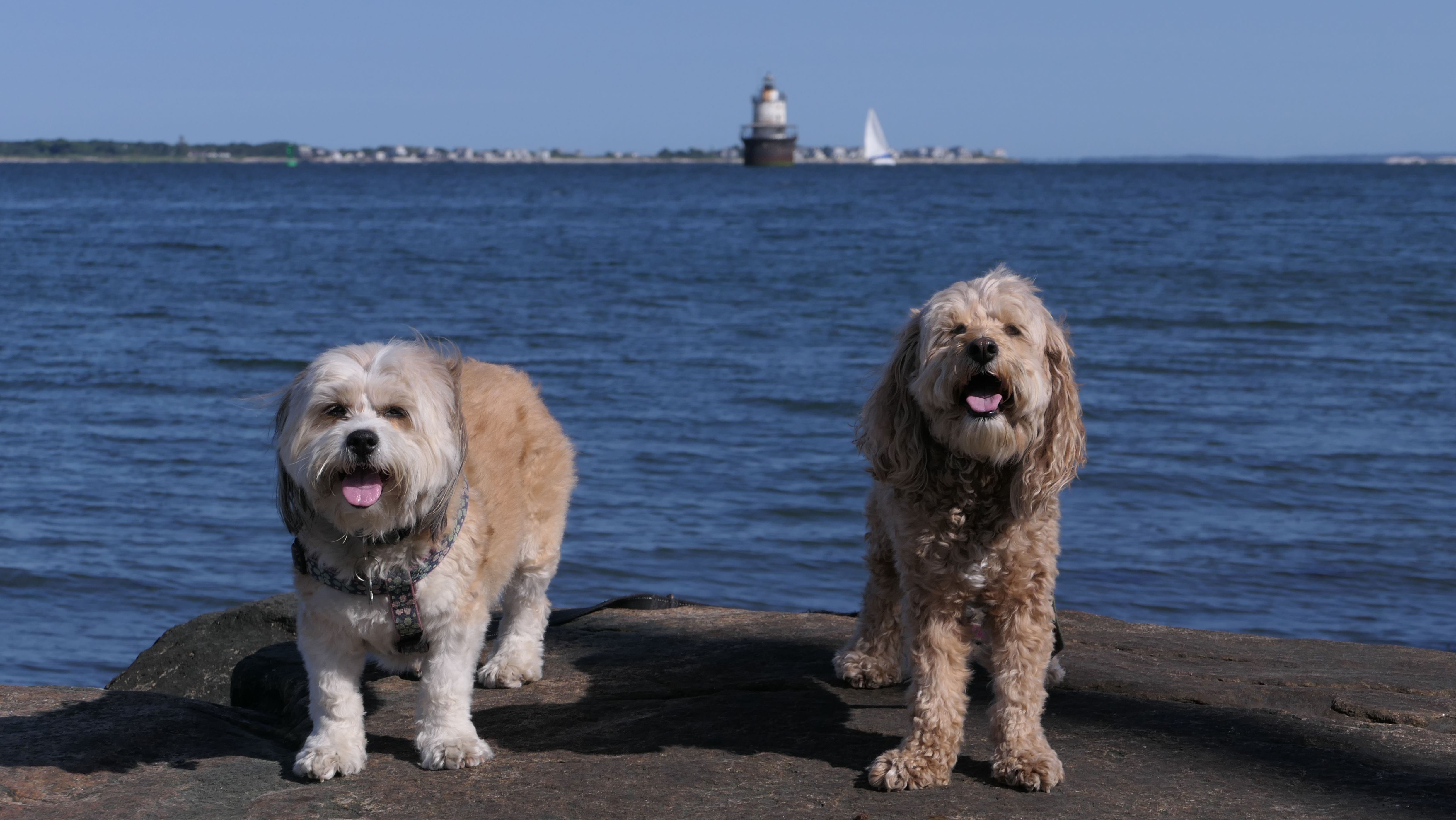
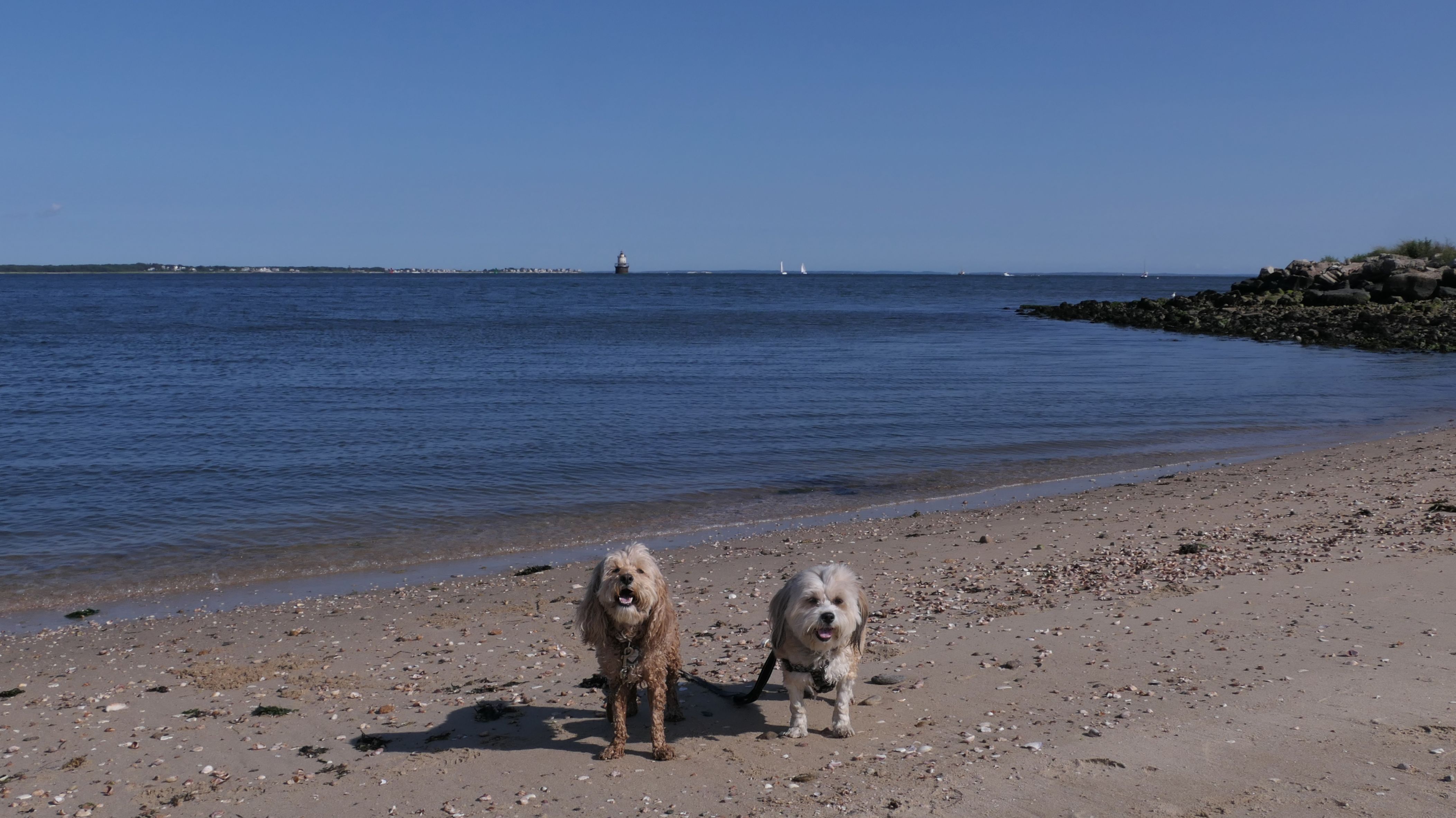
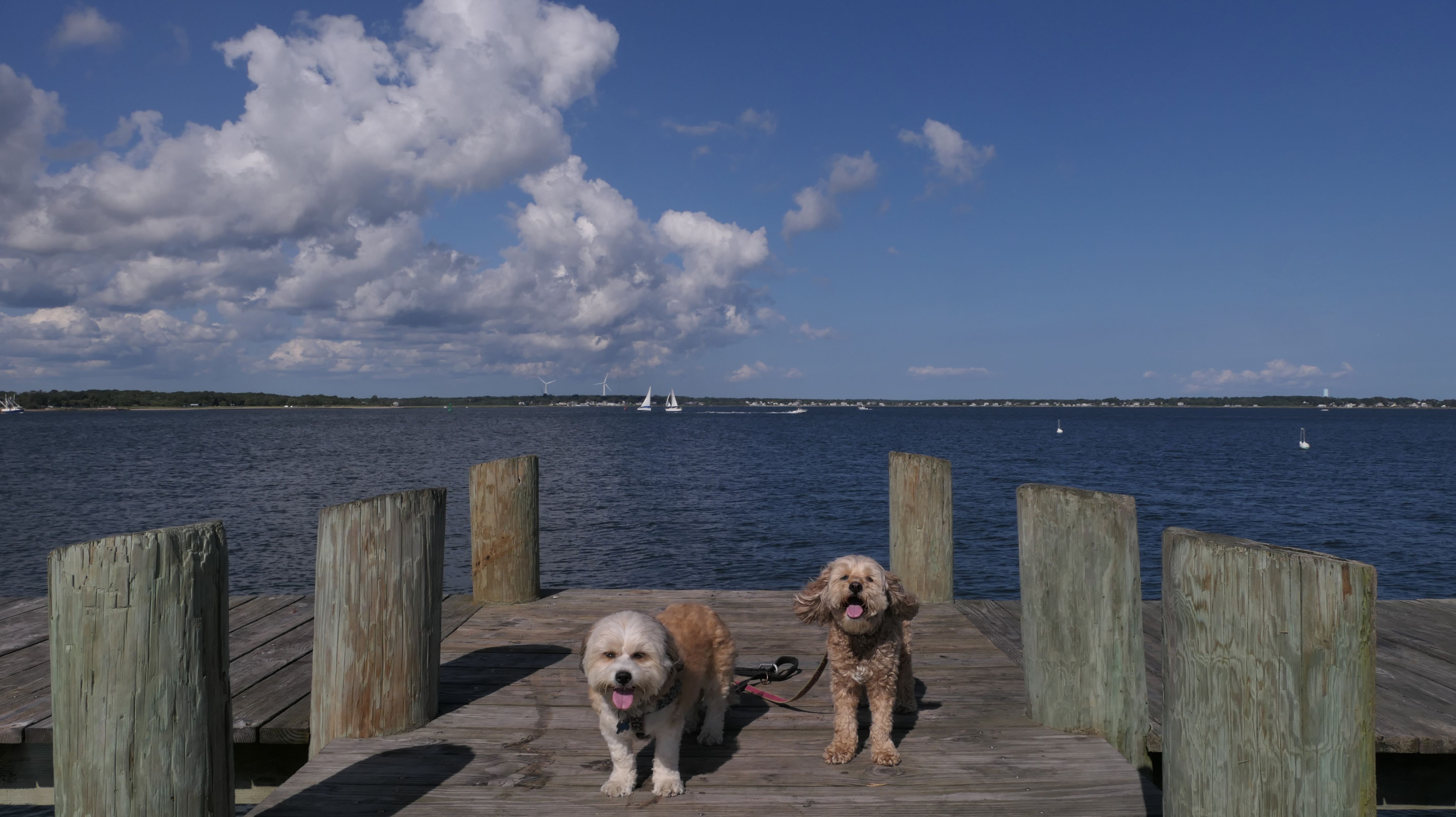
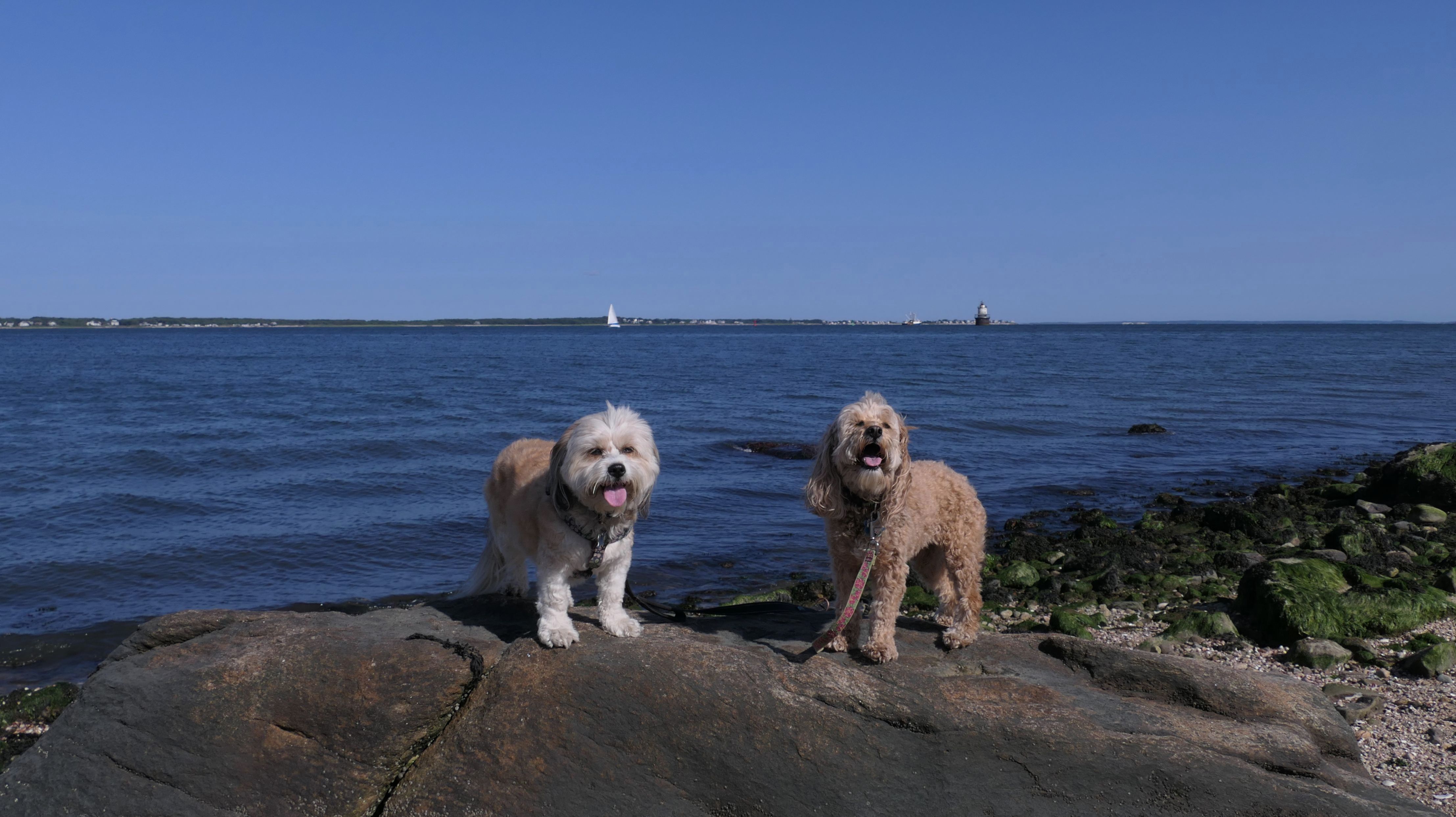
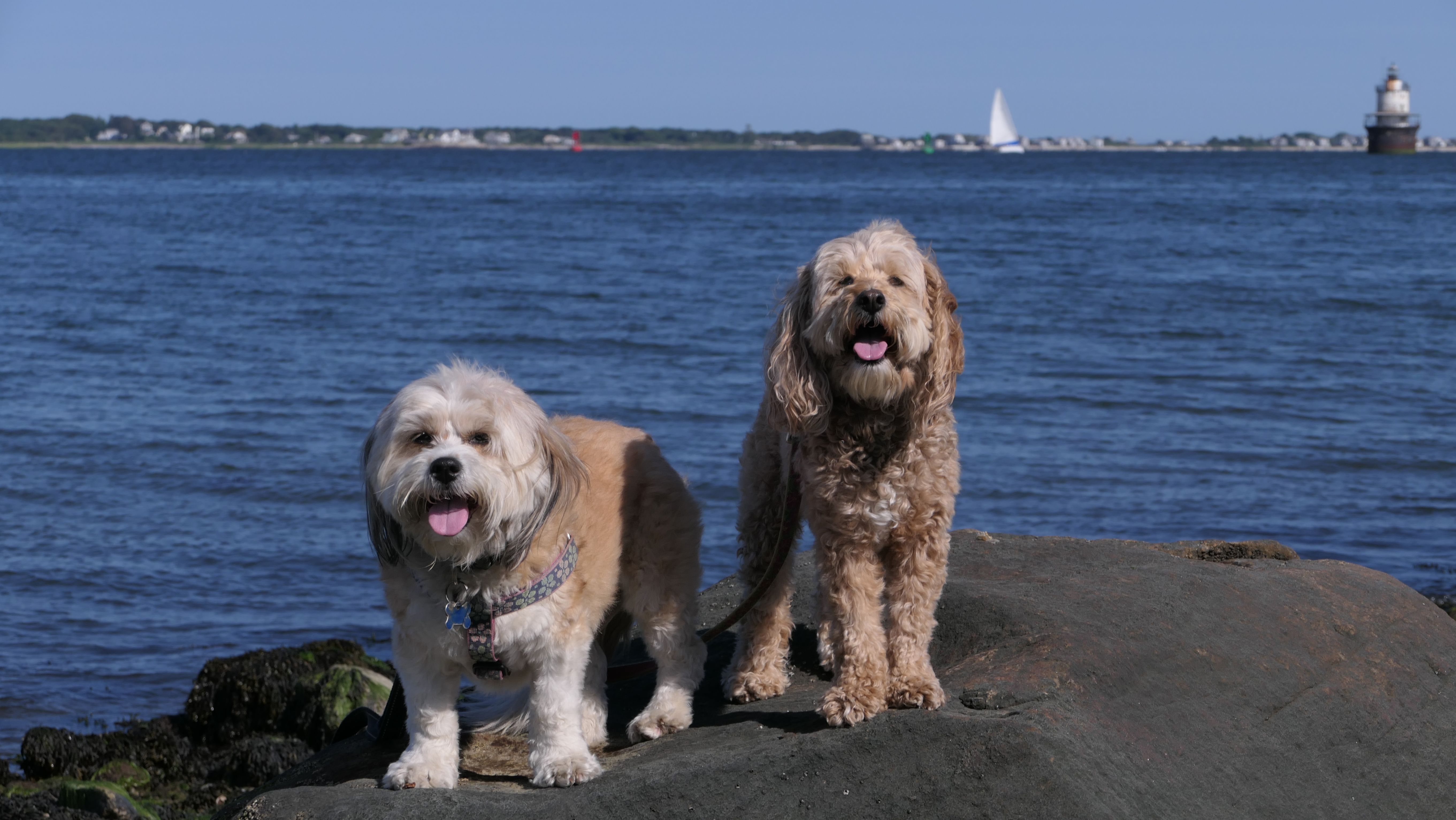
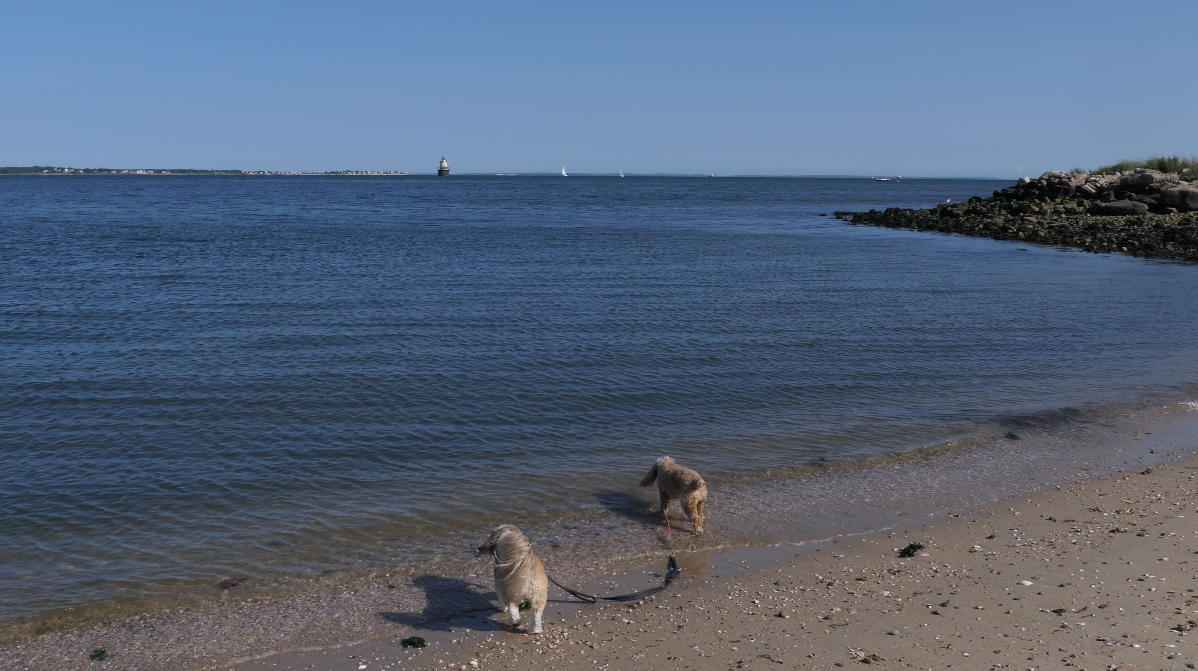
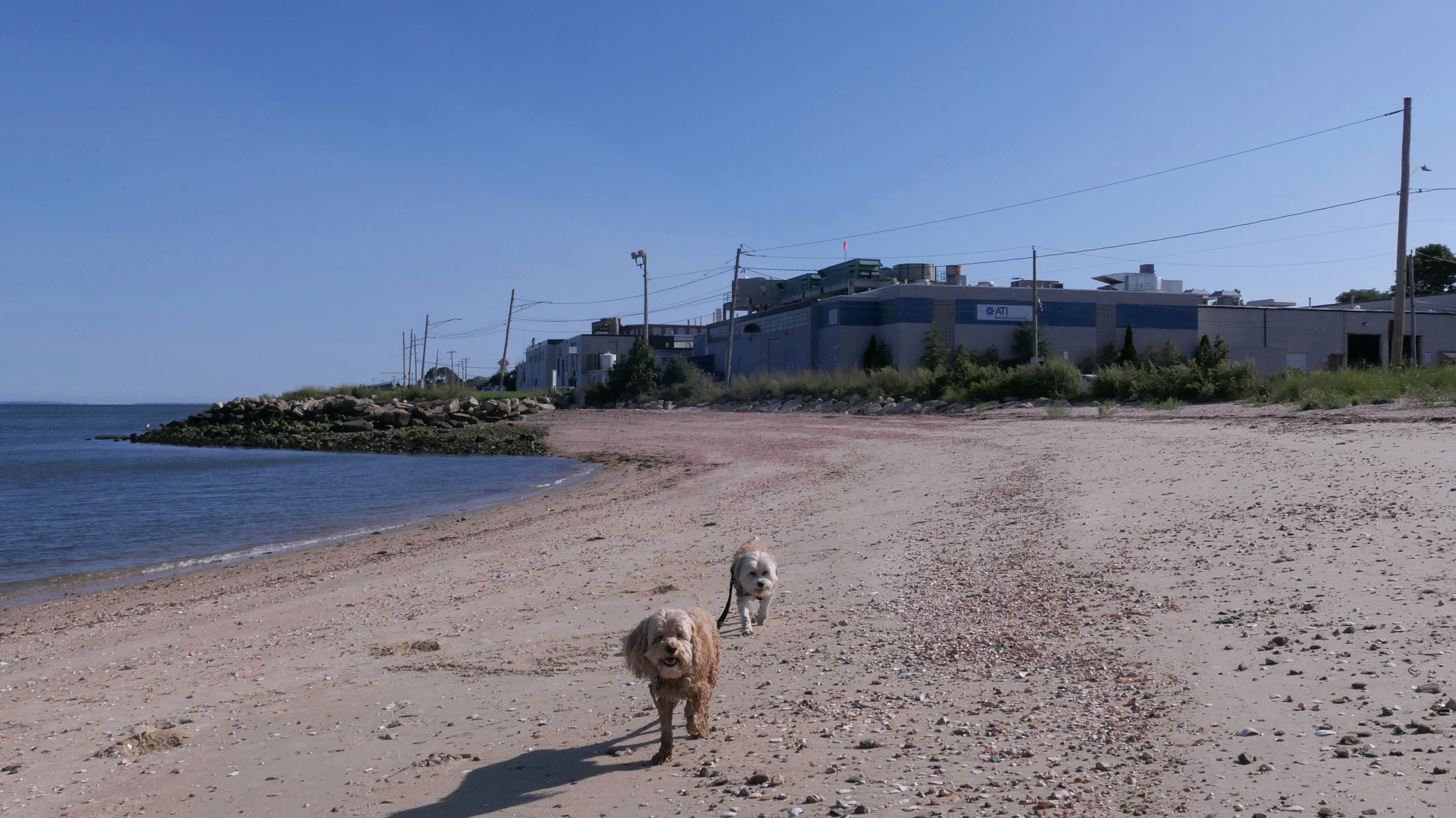
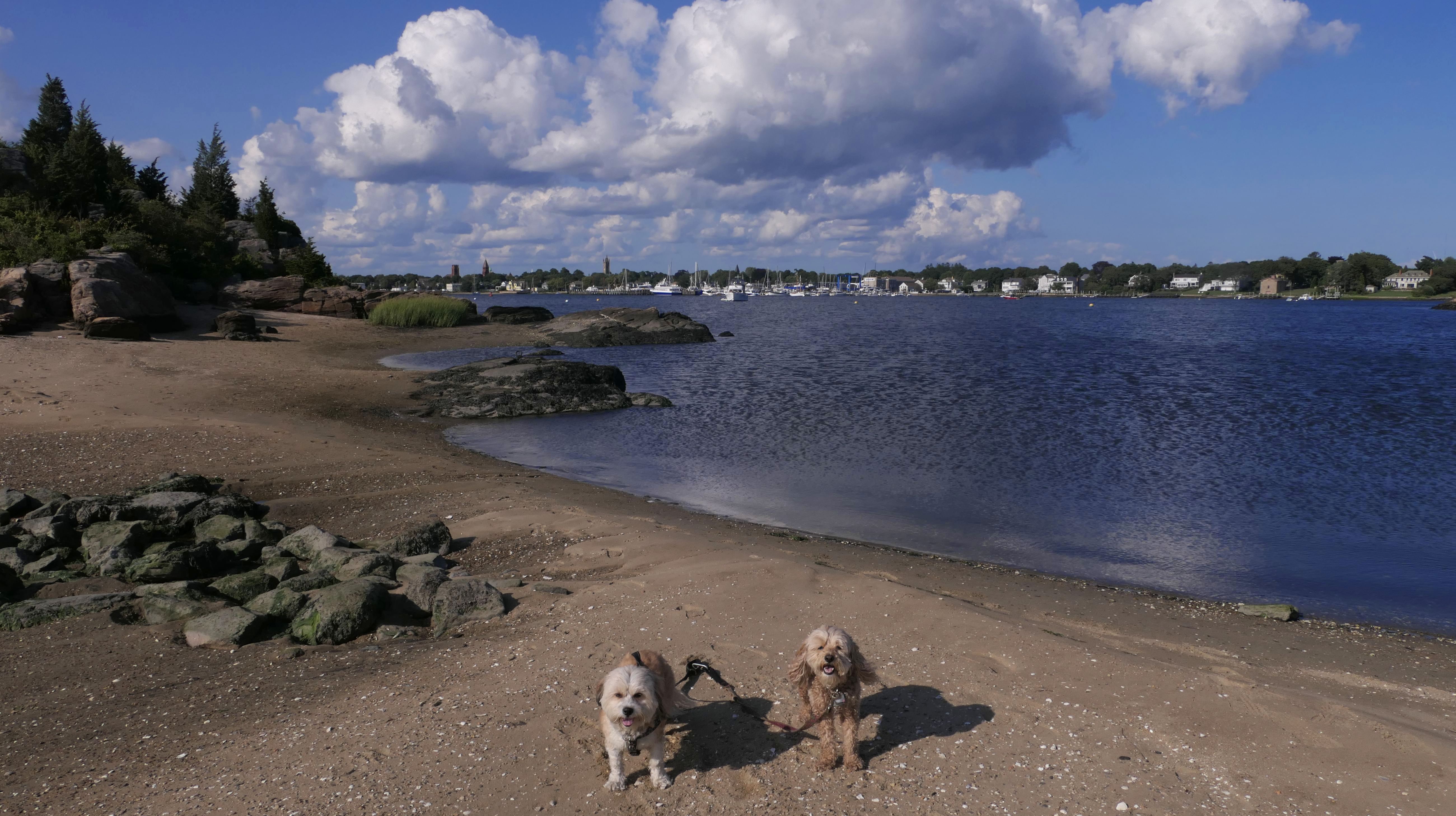
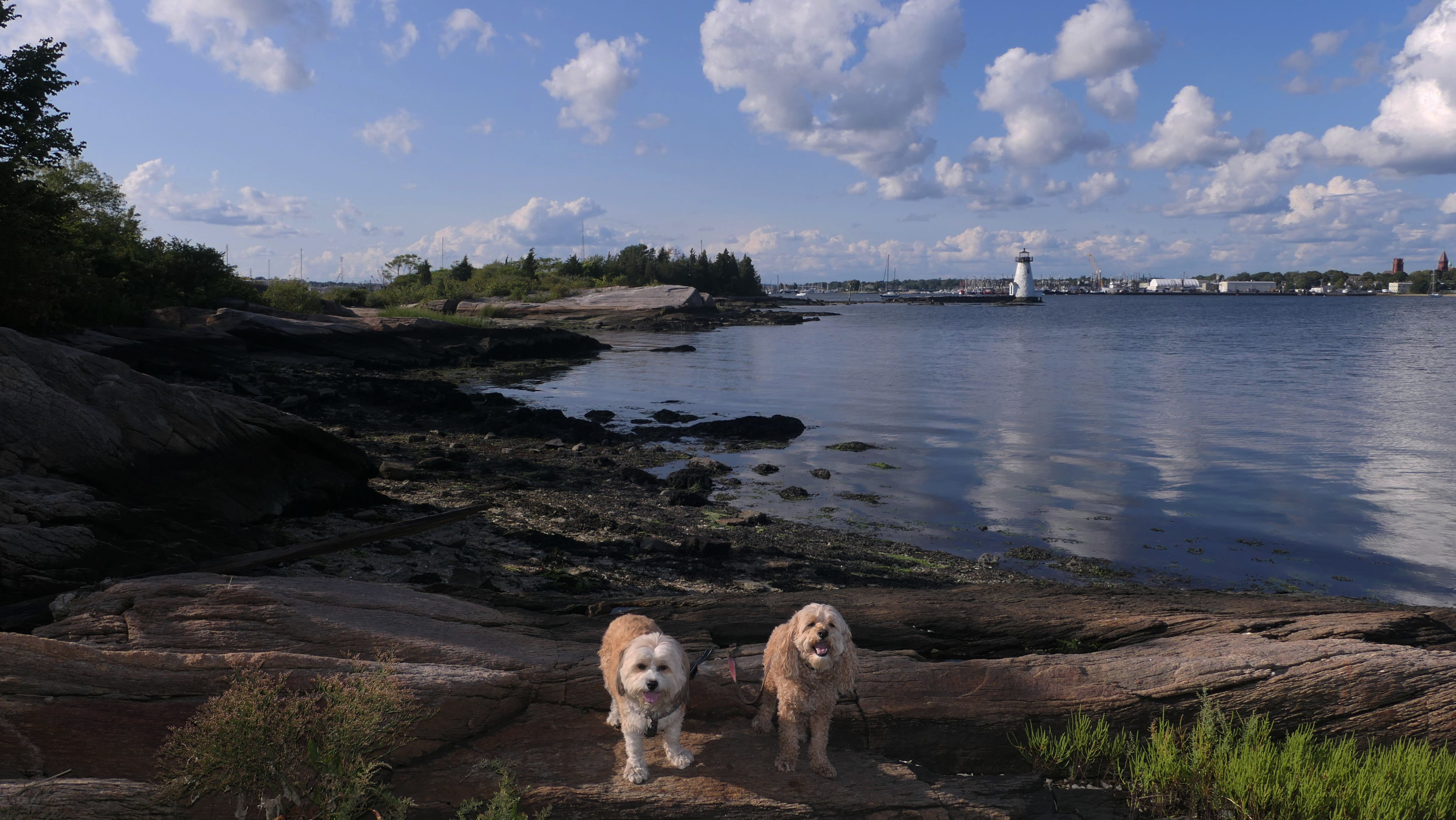
This was a fun adventure. I was only planning on the walking the "Harborwalk", but we wound up using the Harborwalk as the backbone of a five mile adventure that also included Davy's Beach and Palmer's Island. The walkway runs along New Bedford Harbor. There is a high level and a low level, and you can create a loop by walking both, which is what we did. We parked at the lot on Gifford Street, which is near the center of the walk. We headed south first, along the raised portion of the walk. This section is similar to the Cove Walk, where it is basically a flat cement sidewalk with fences on either side. You can see Butler Flats Lighthouse in the middle of the harbor. At the southern end of the walk, we explored the Davy's Beach area and the fishing pier, before heading back on the lower walk. The lower walk is a wide bike path that runs along side Rodney French Boulevard. Once we hit Cove Street, we took a slightly overgrown dirt path in front of the old warehouse, that leads back to Gifford Street. We then continued northeast on the lower level of the trail. The trail leads out to Palmer's Island. After exploring the island, we took the upper level back. This part is different from the southern section, as it's up on rocks. It features stunning views of the harbor. There's a lower, more narrow walkway that can be accessed toward the center of the trail, and provides good fishing access.
More Images
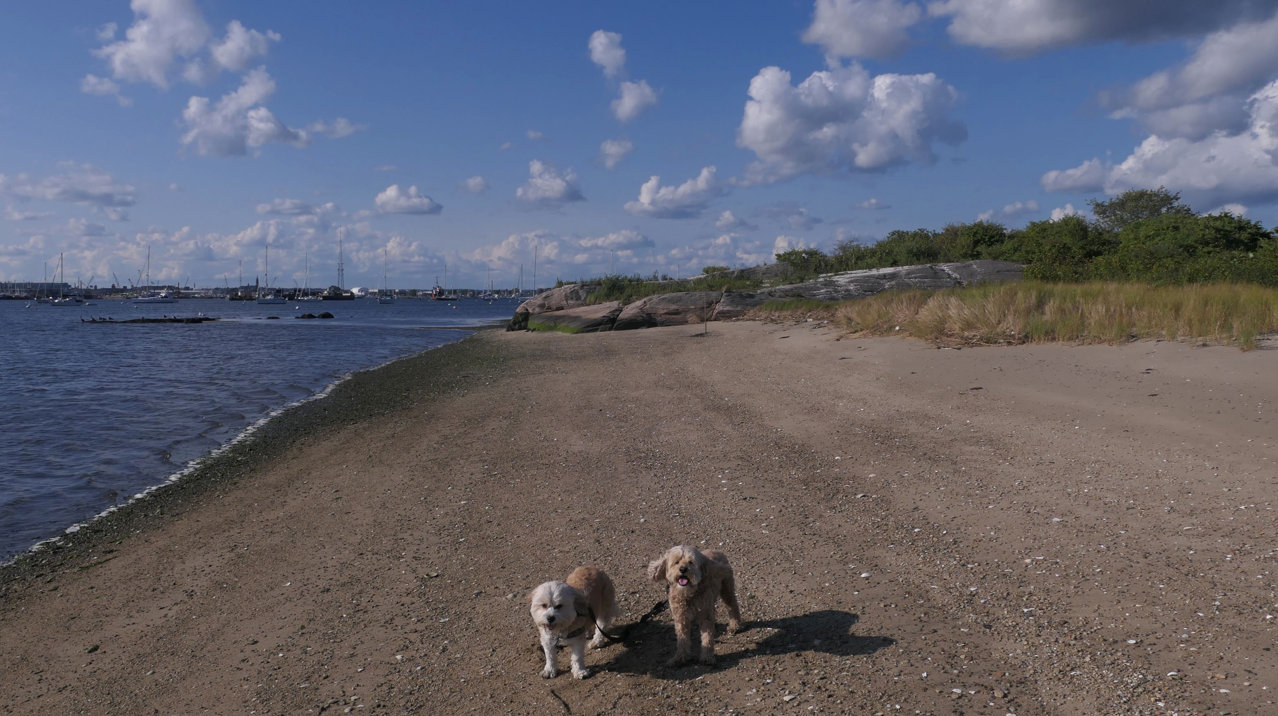
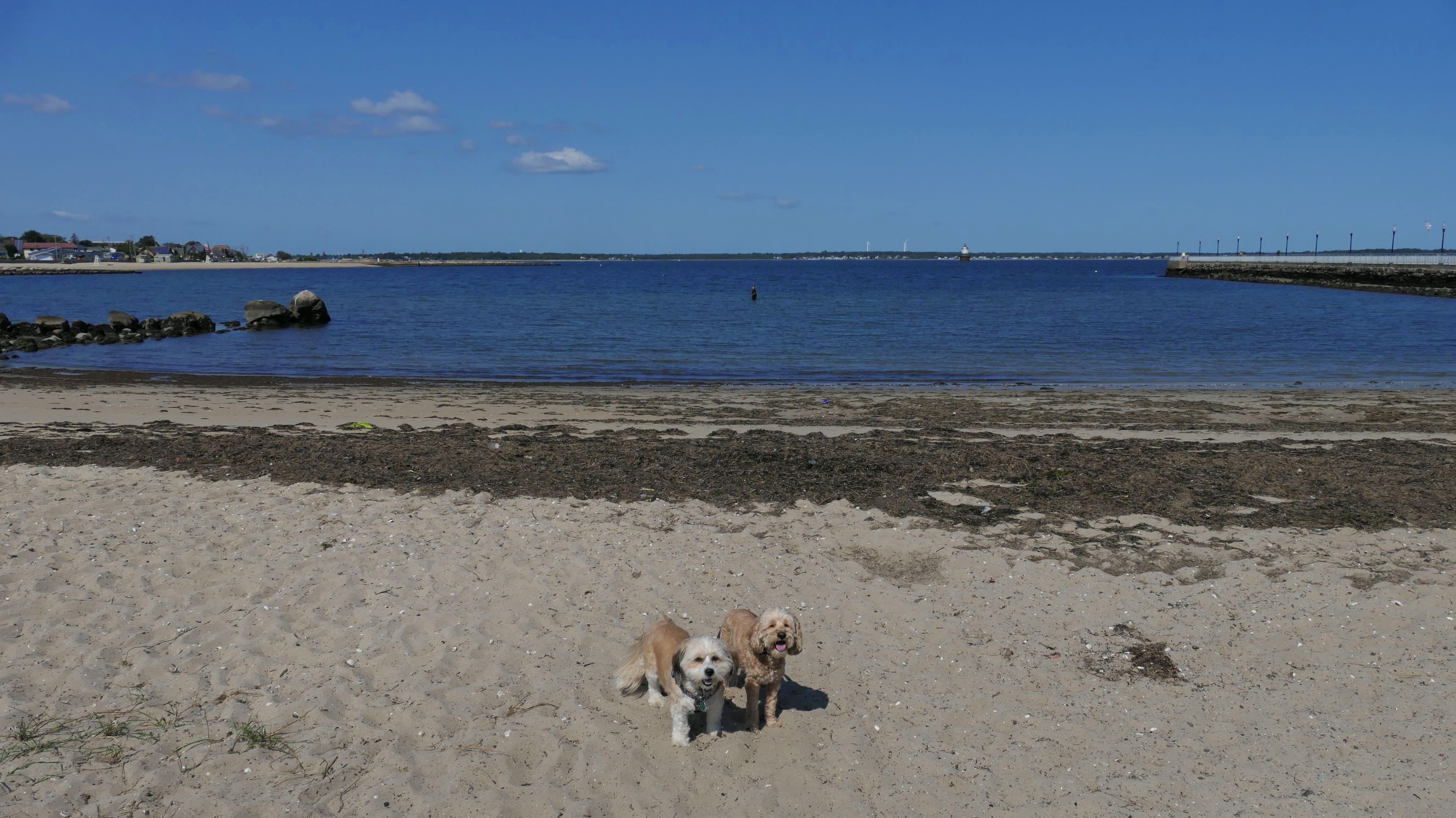
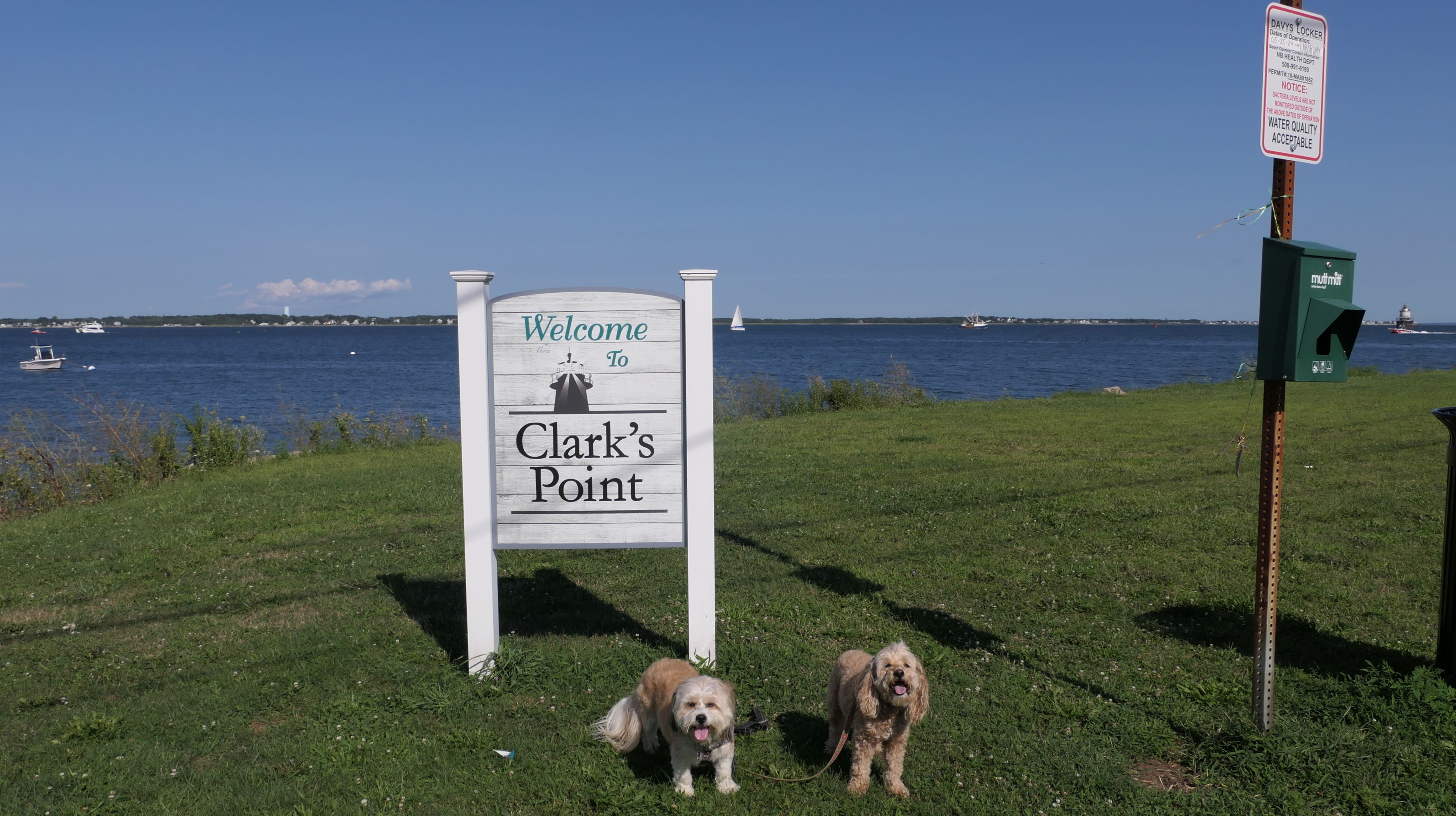
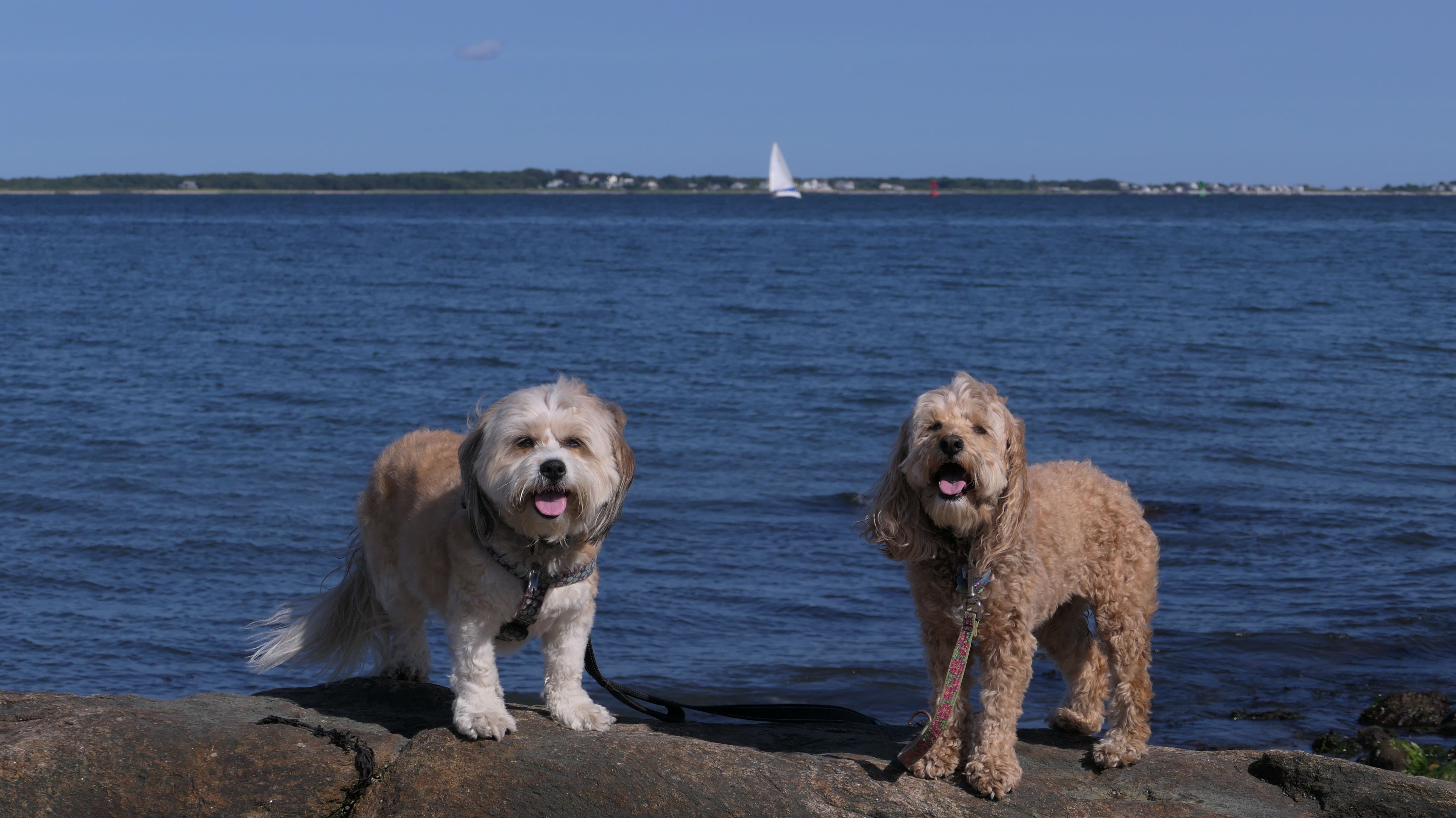
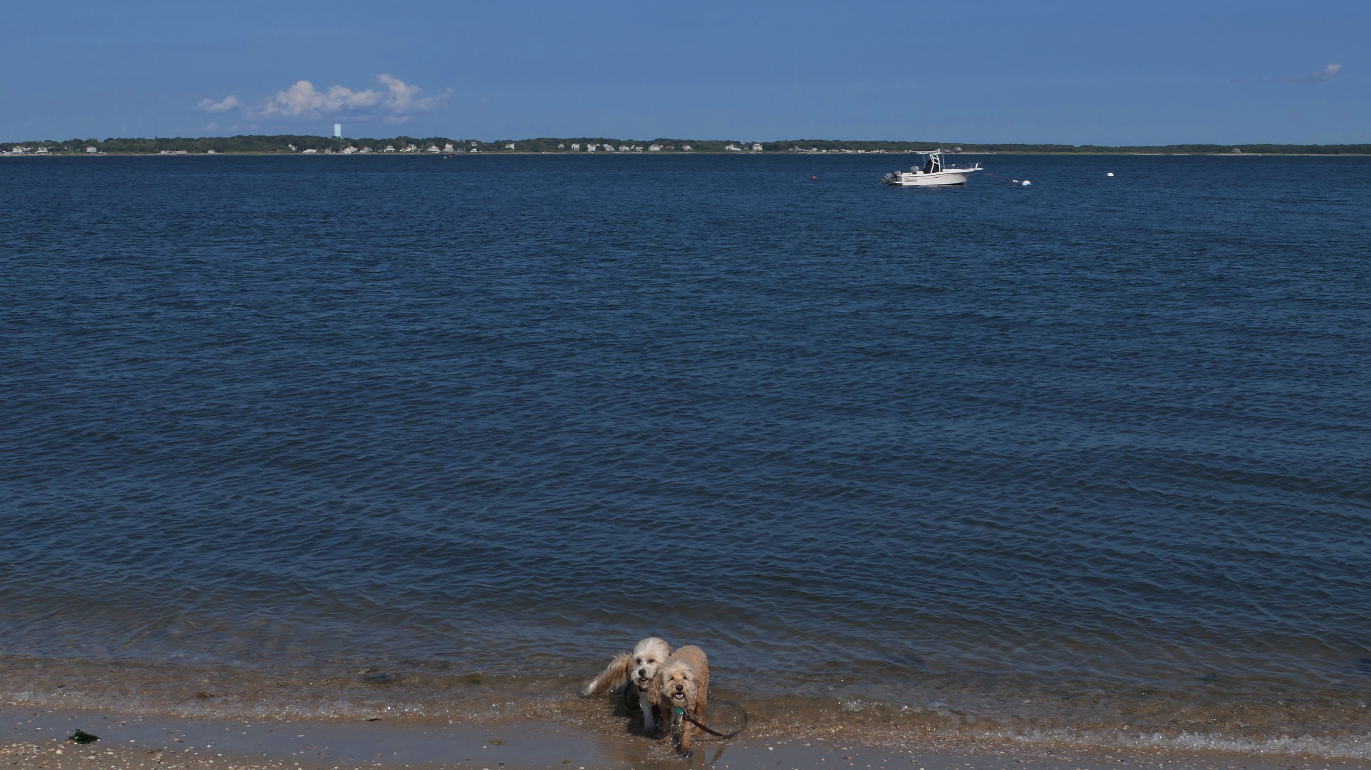
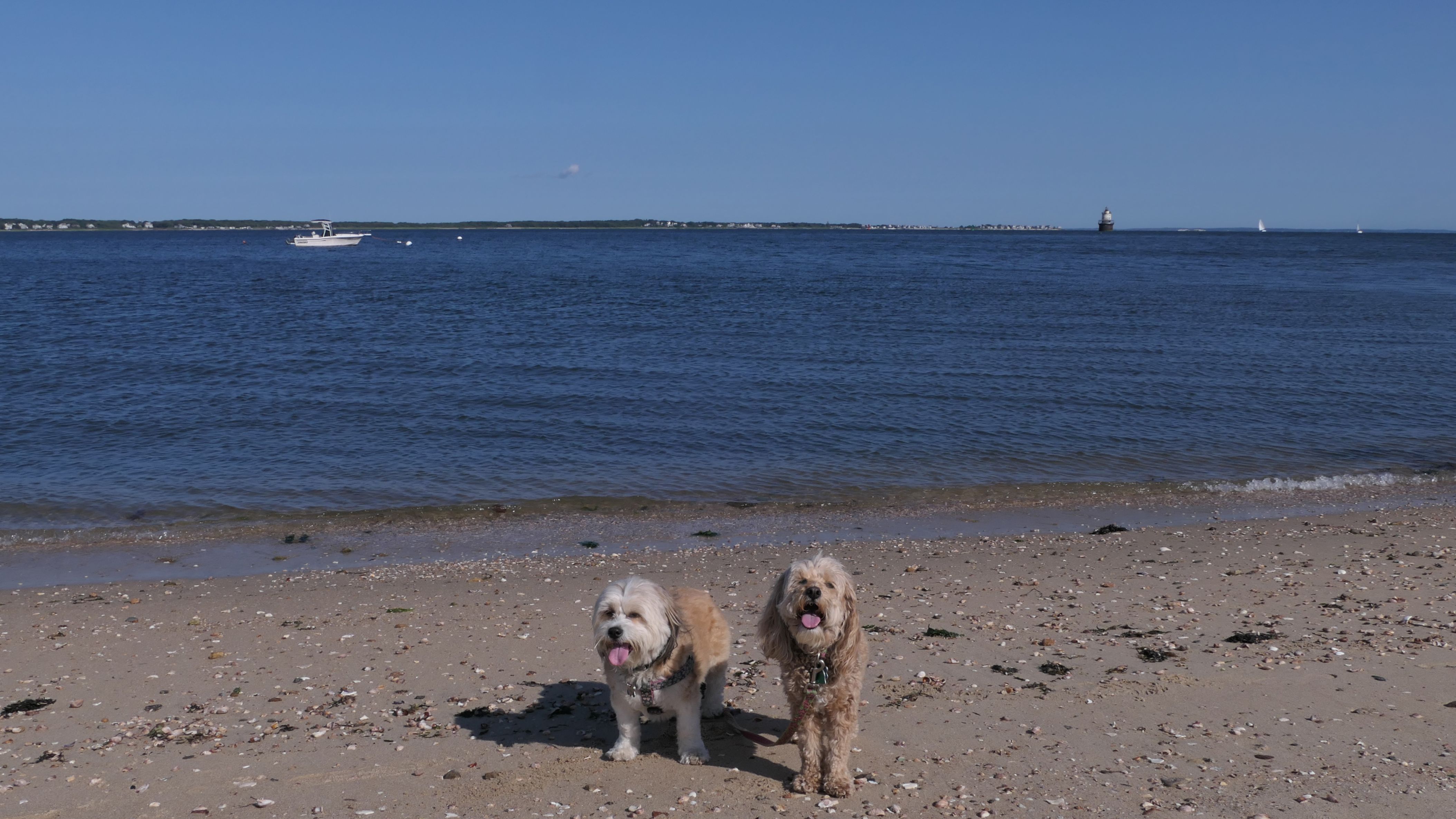
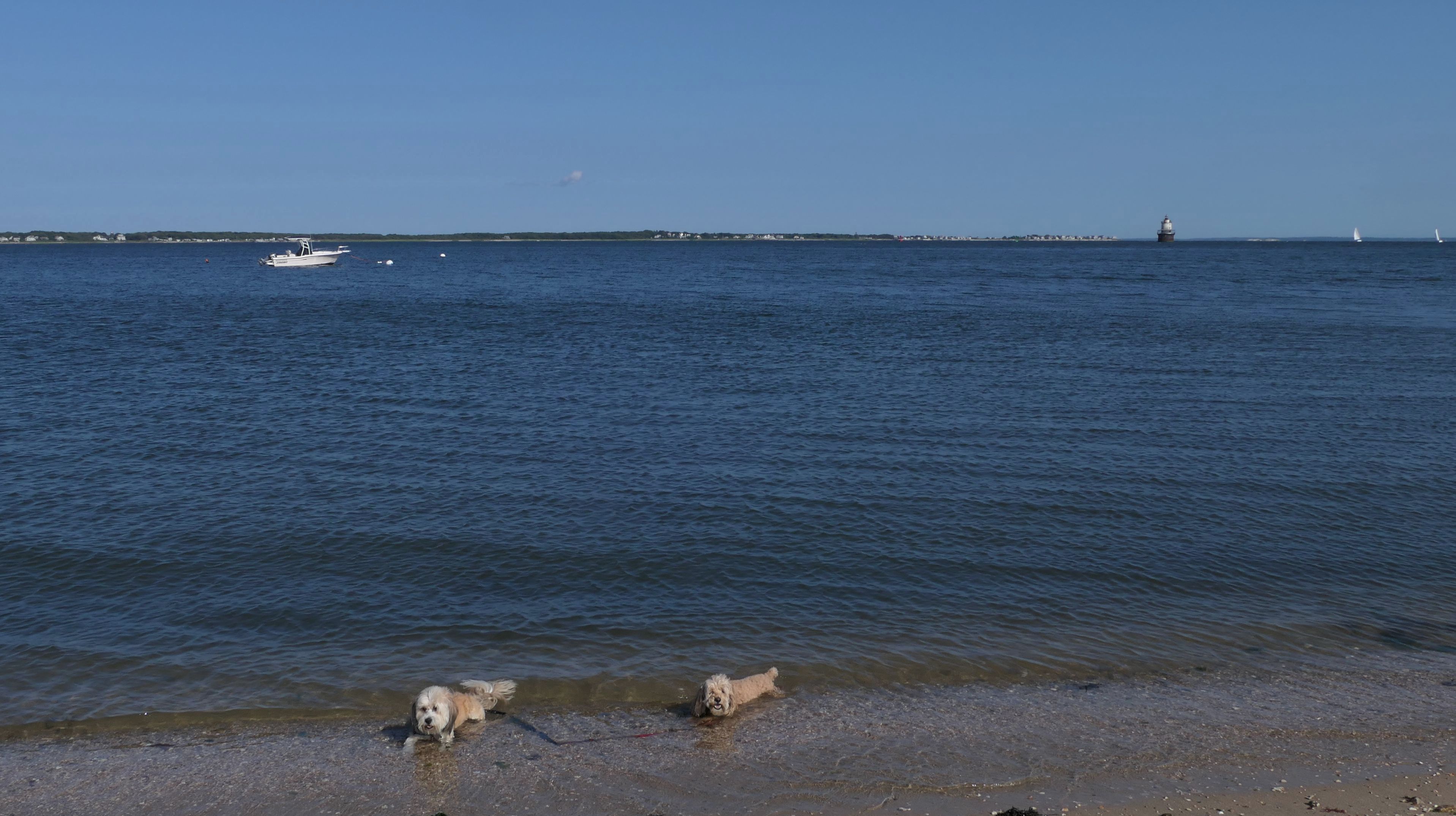
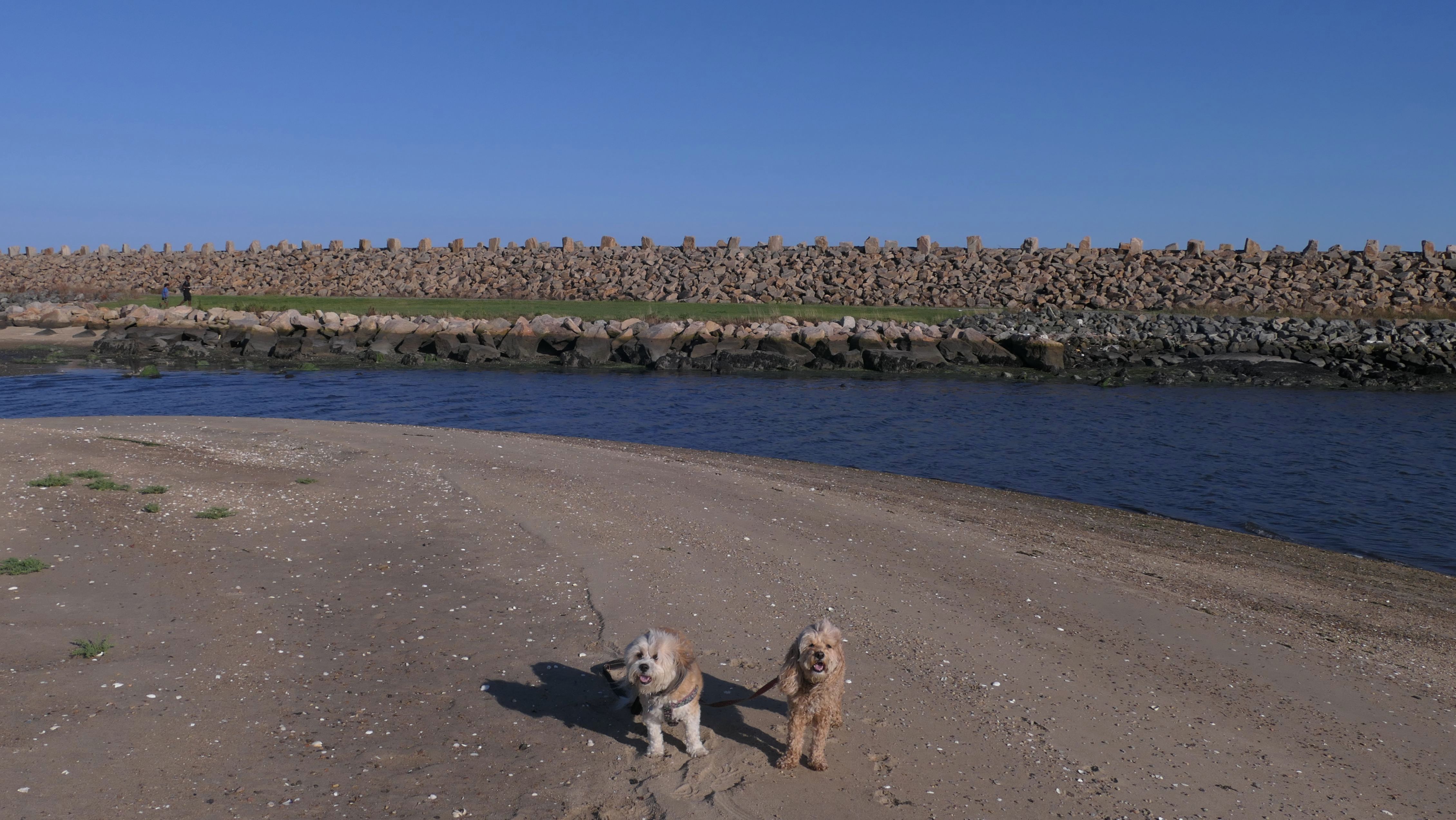
Davy's Beach
Date visited: 8/21/2024
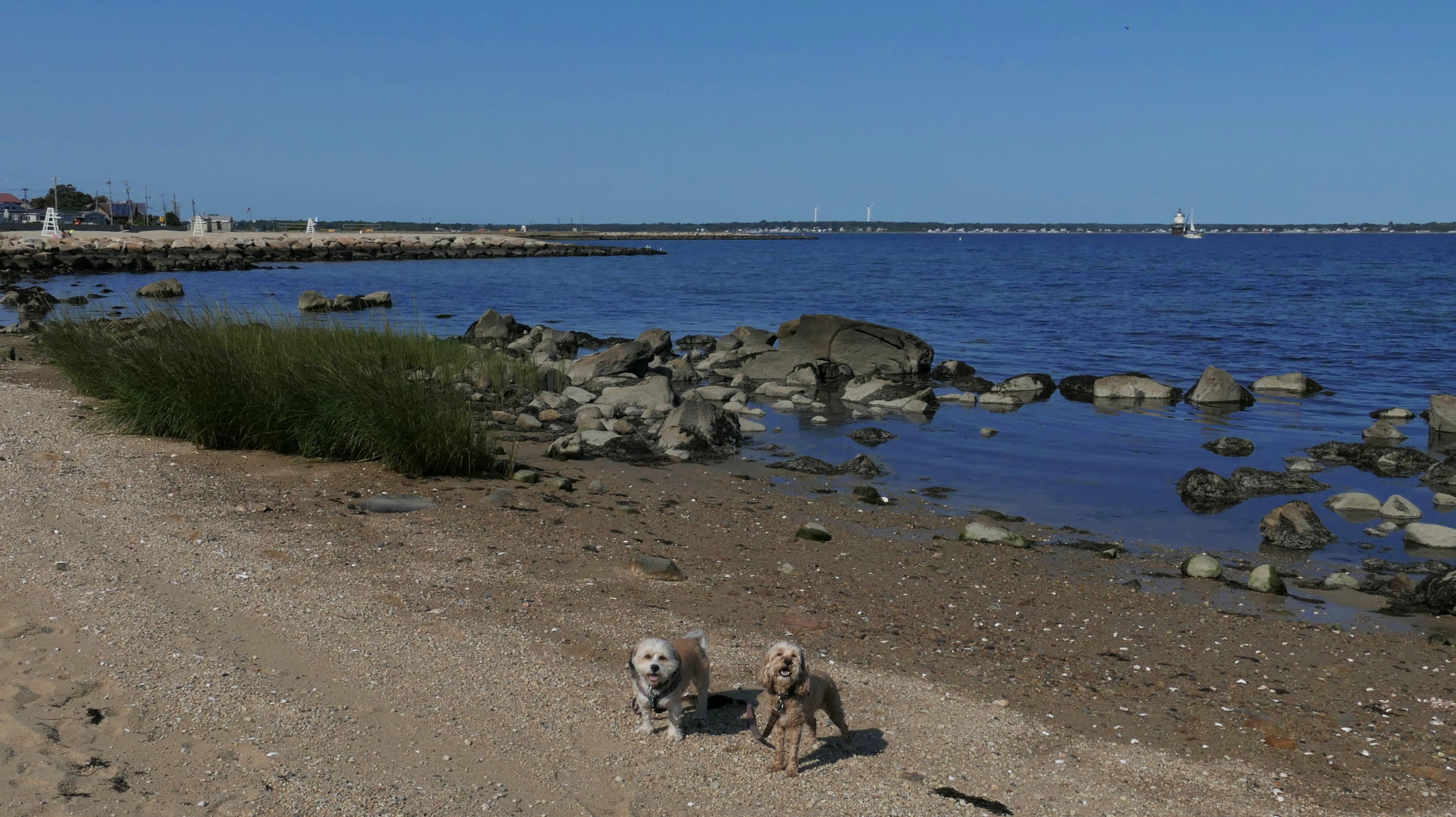
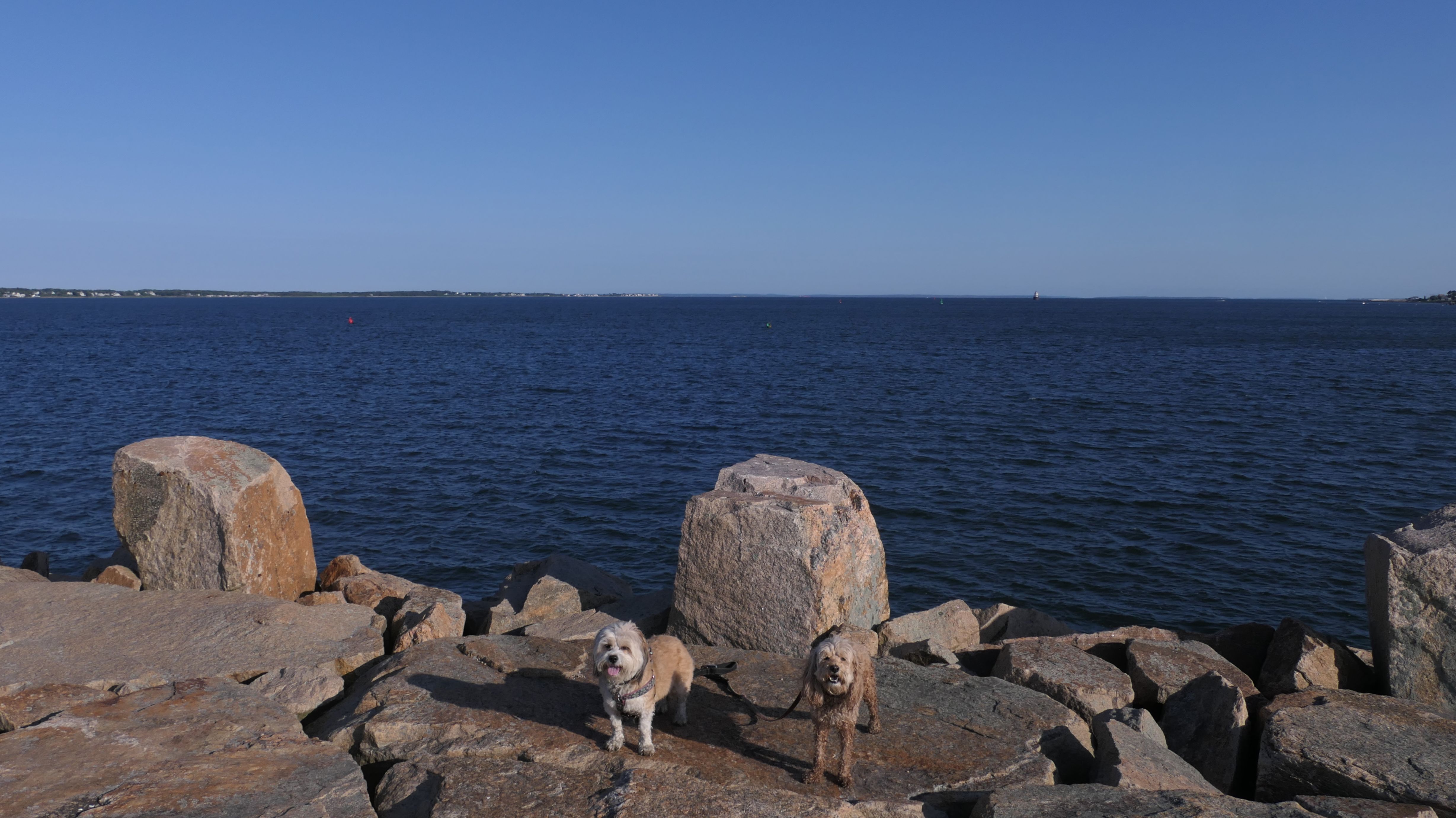
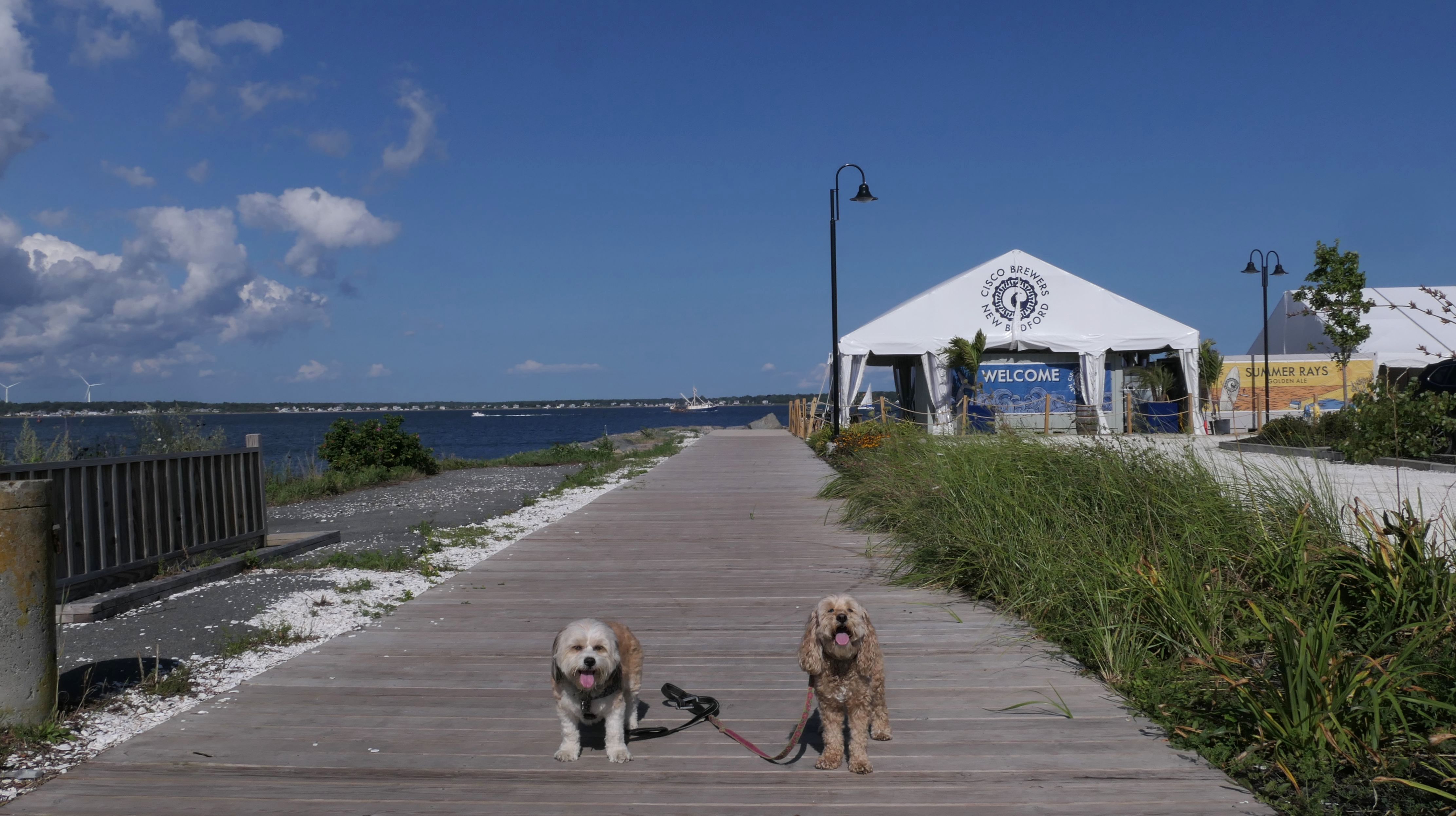
This is a small beach, and the area surrounding the beach called "Clark's Point", that includes a small boat launch, fishing pier and a brewery. The area is just south of the end of the Harborwalk. There is no signage at the beach. I got the name by looking at Google Maps. It's a small beach, with very mild waves, which is just the way Mandy & Lexi like it. We also took some photos on the rocky shore to the south of the beach, as well as from the fishing pier, before heading back via the Harborwalk.
More Images

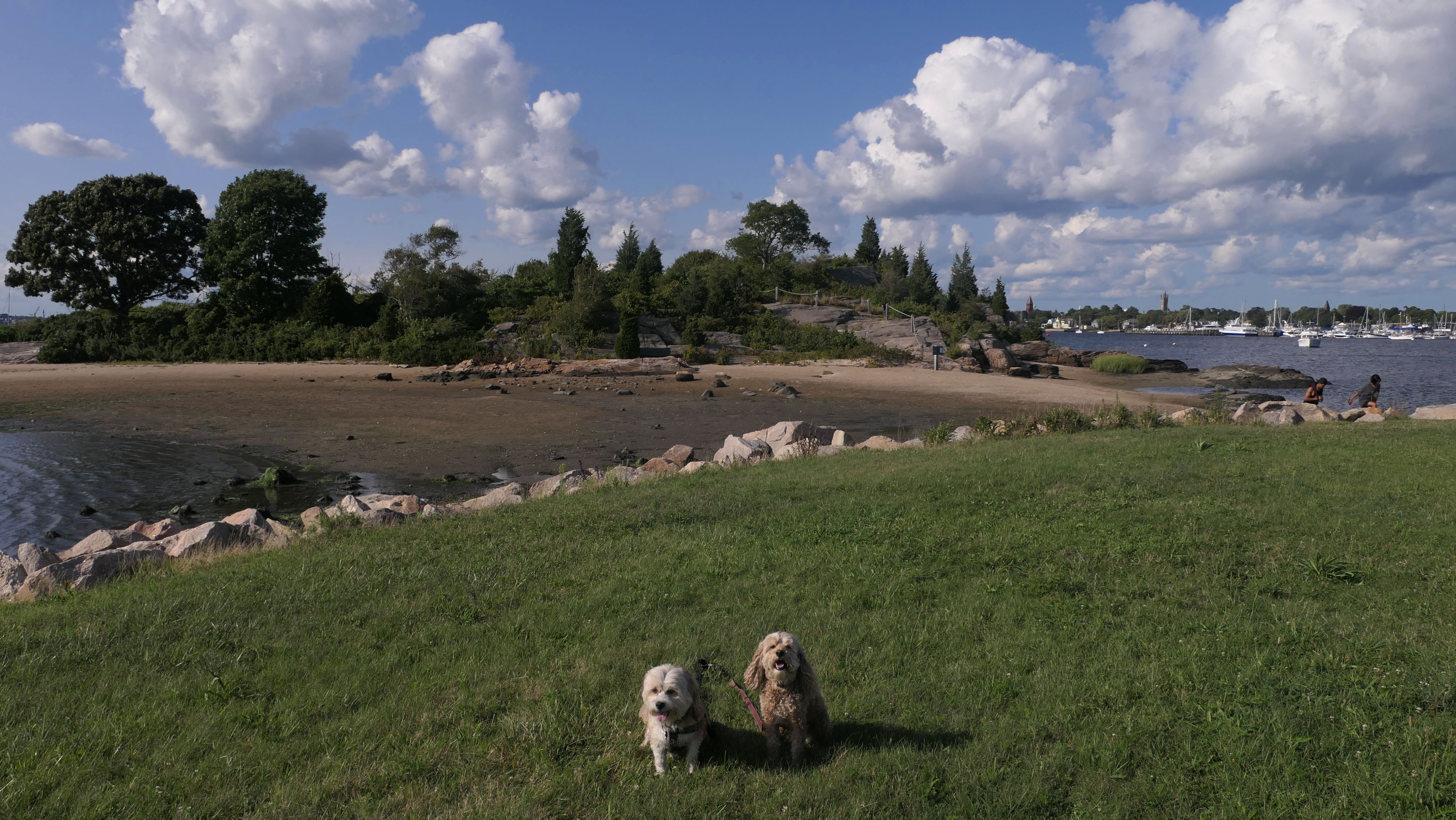
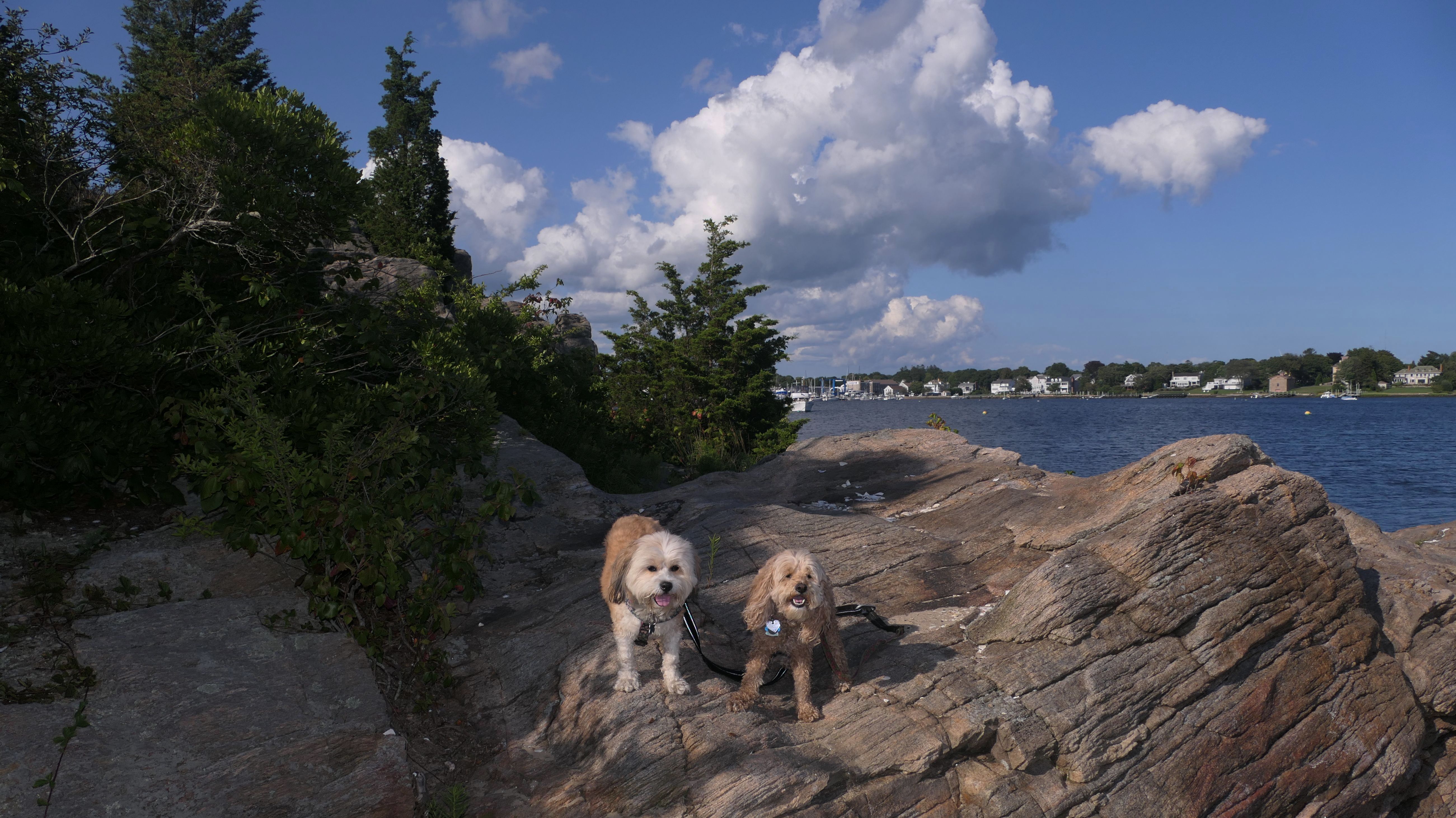
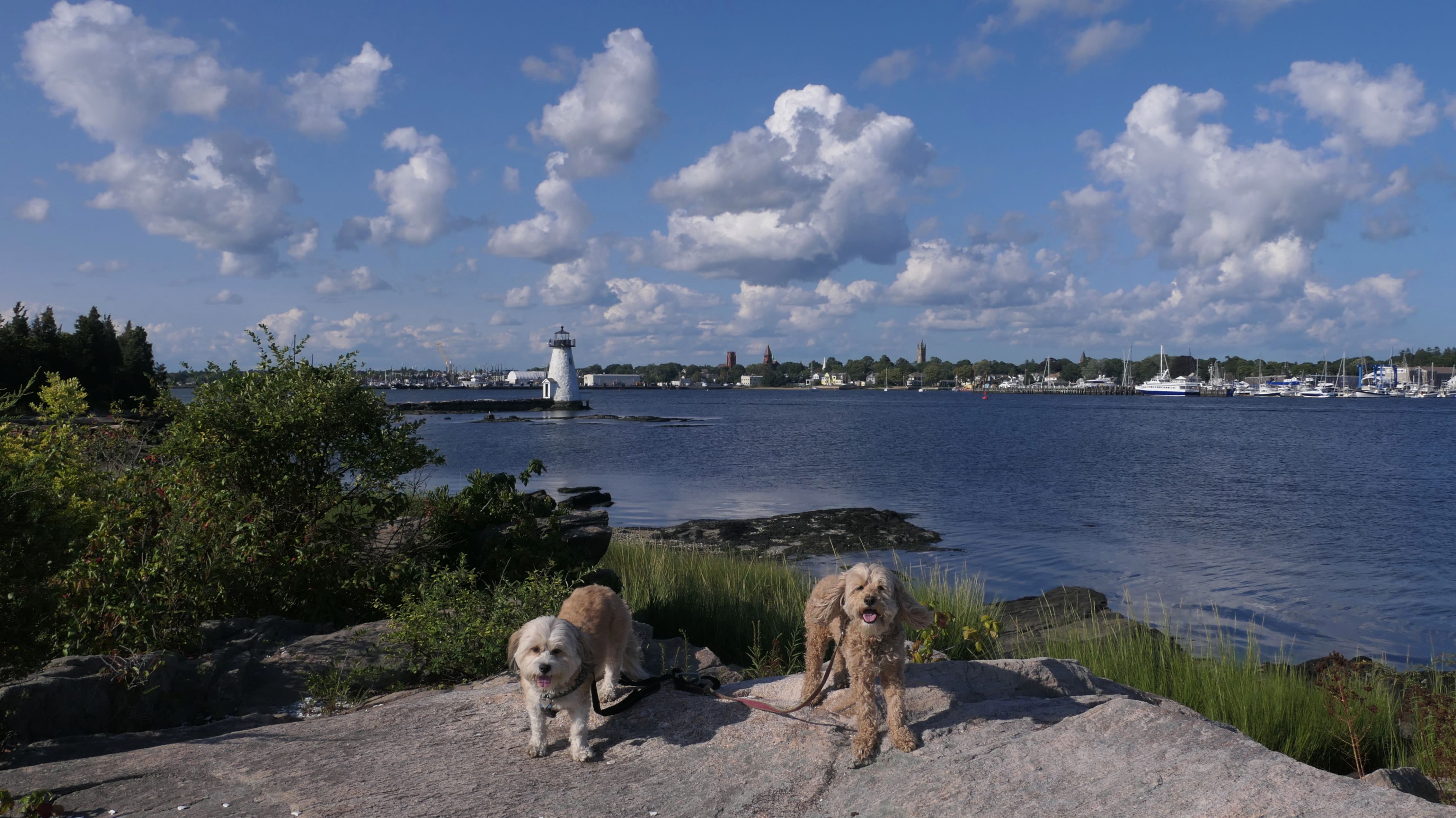
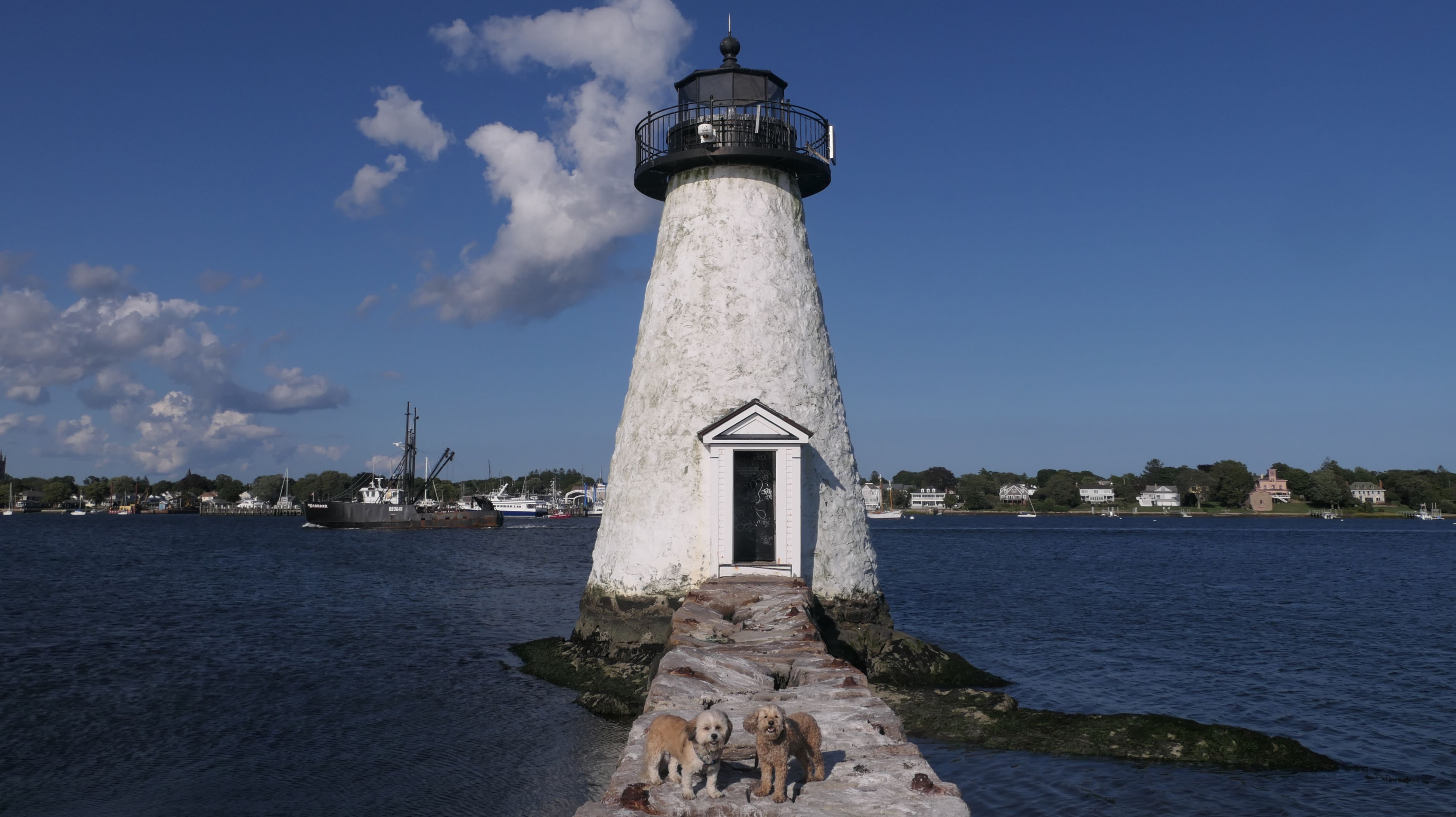
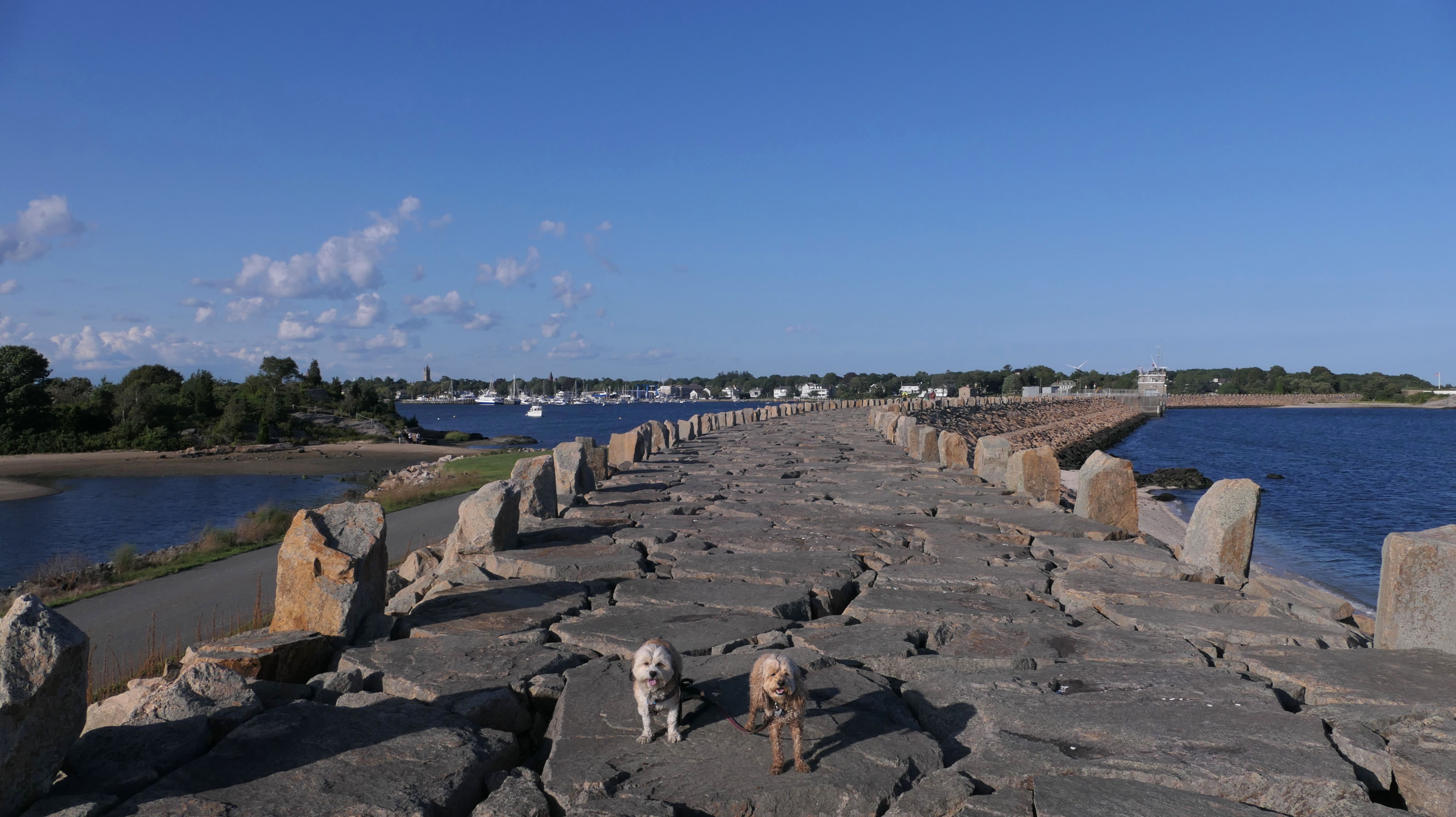
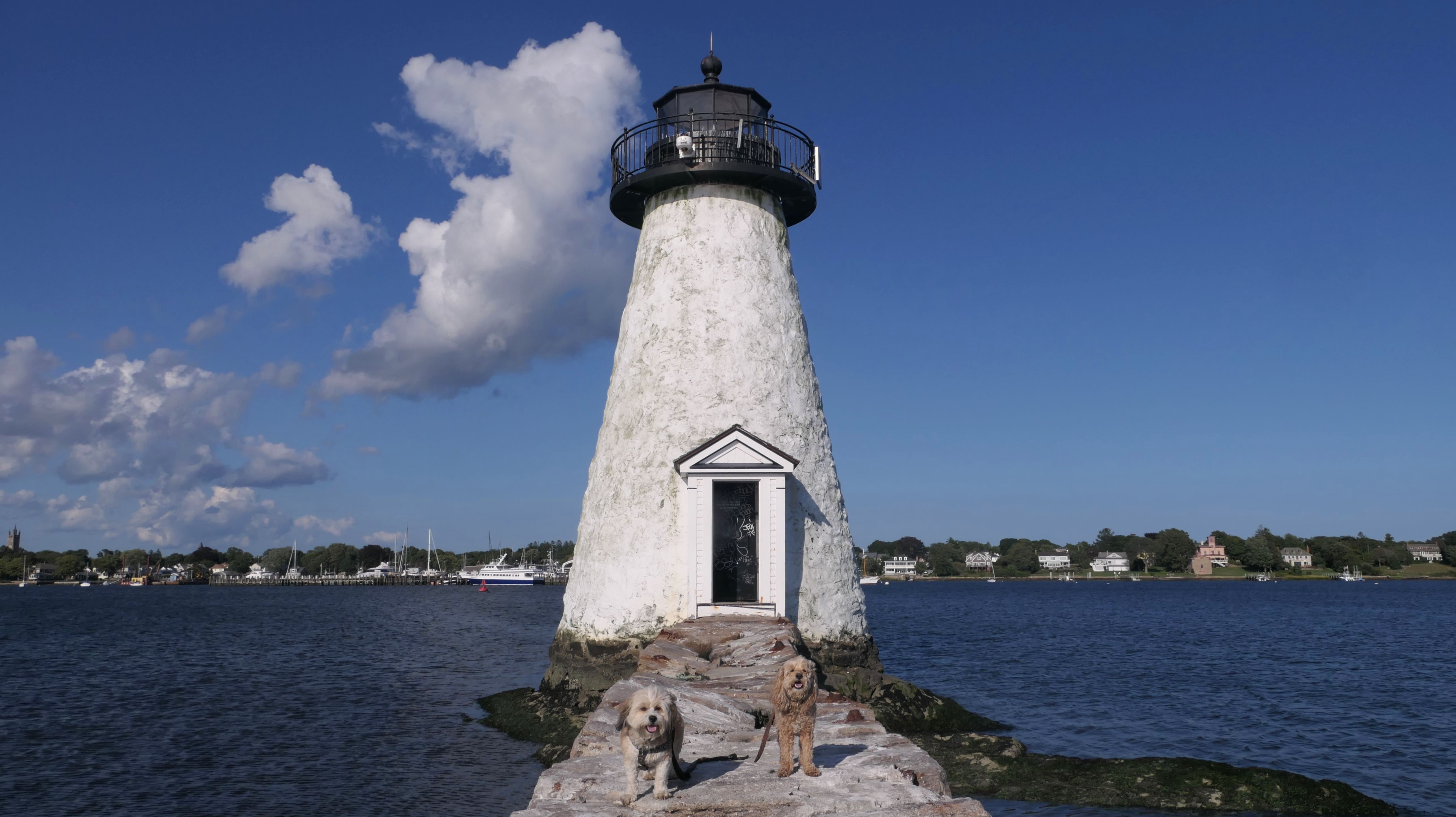
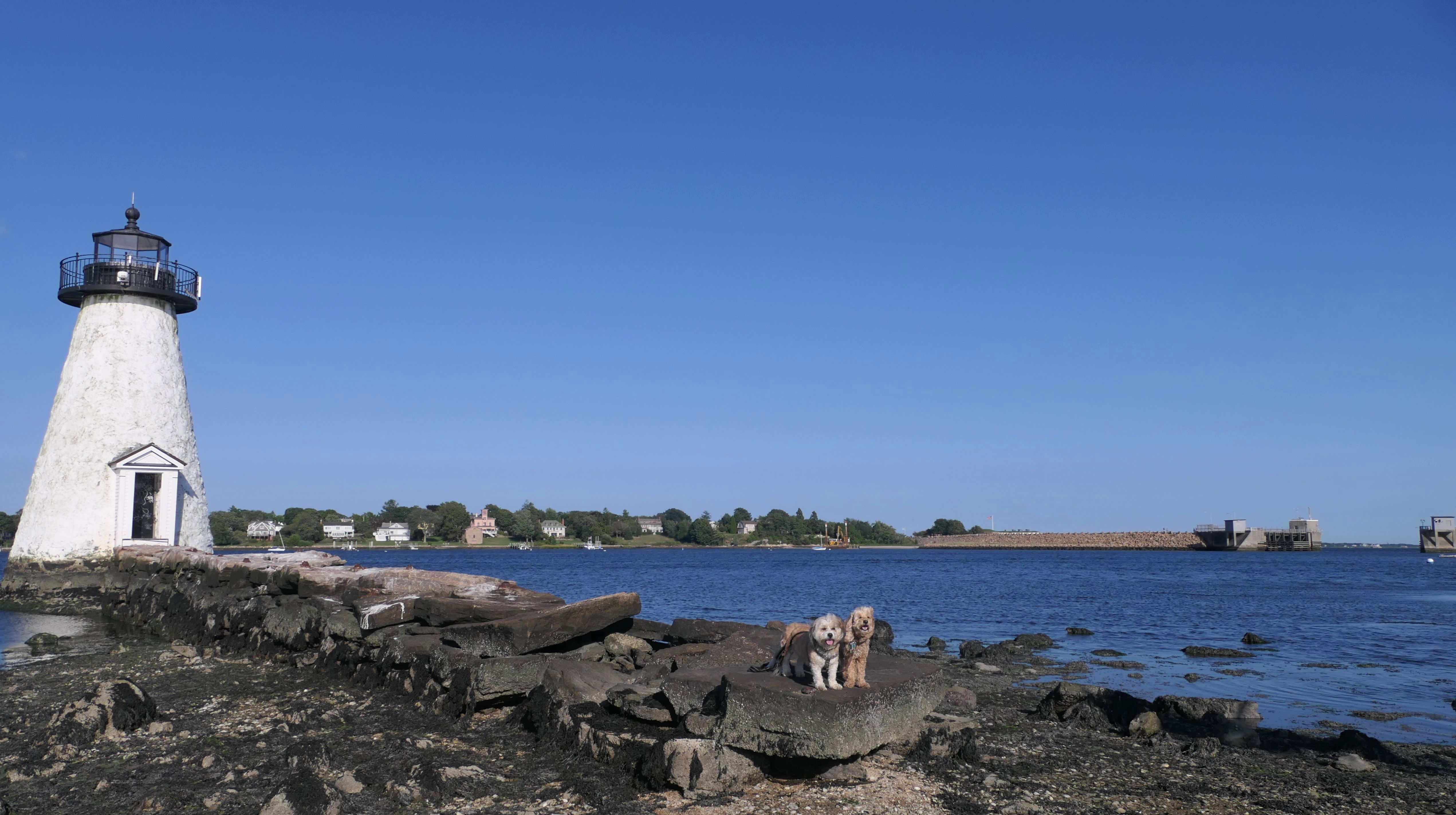
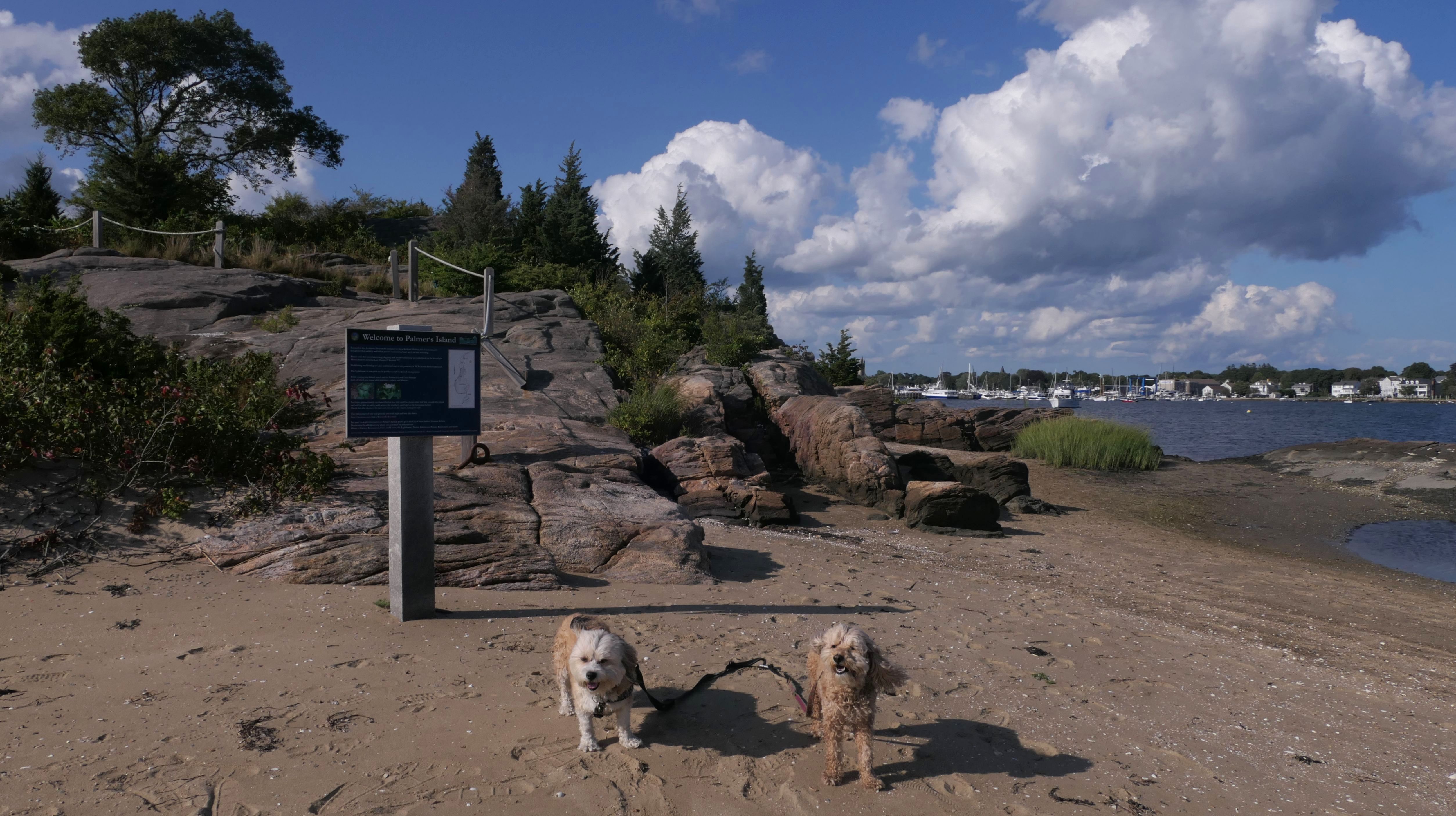
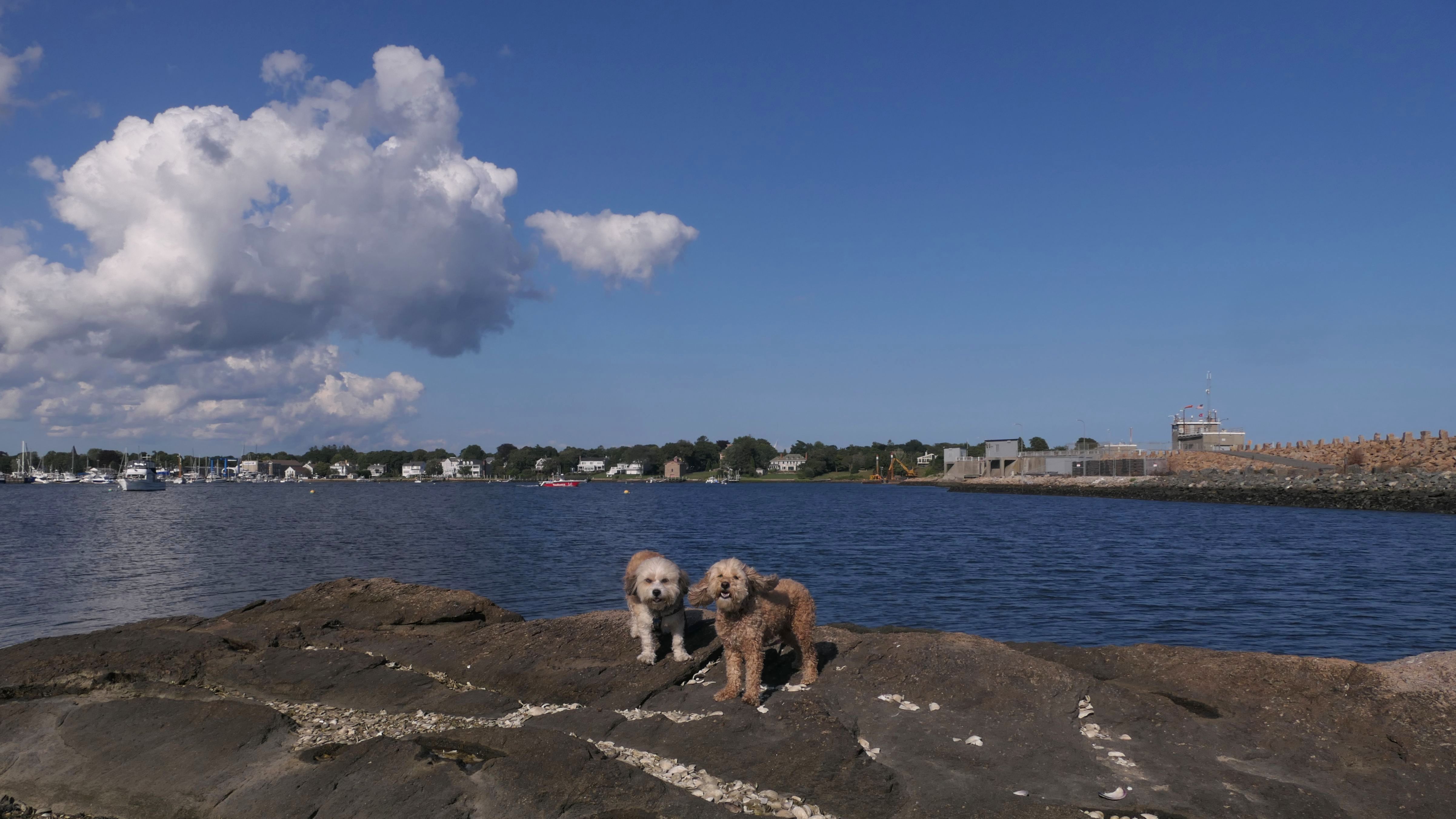
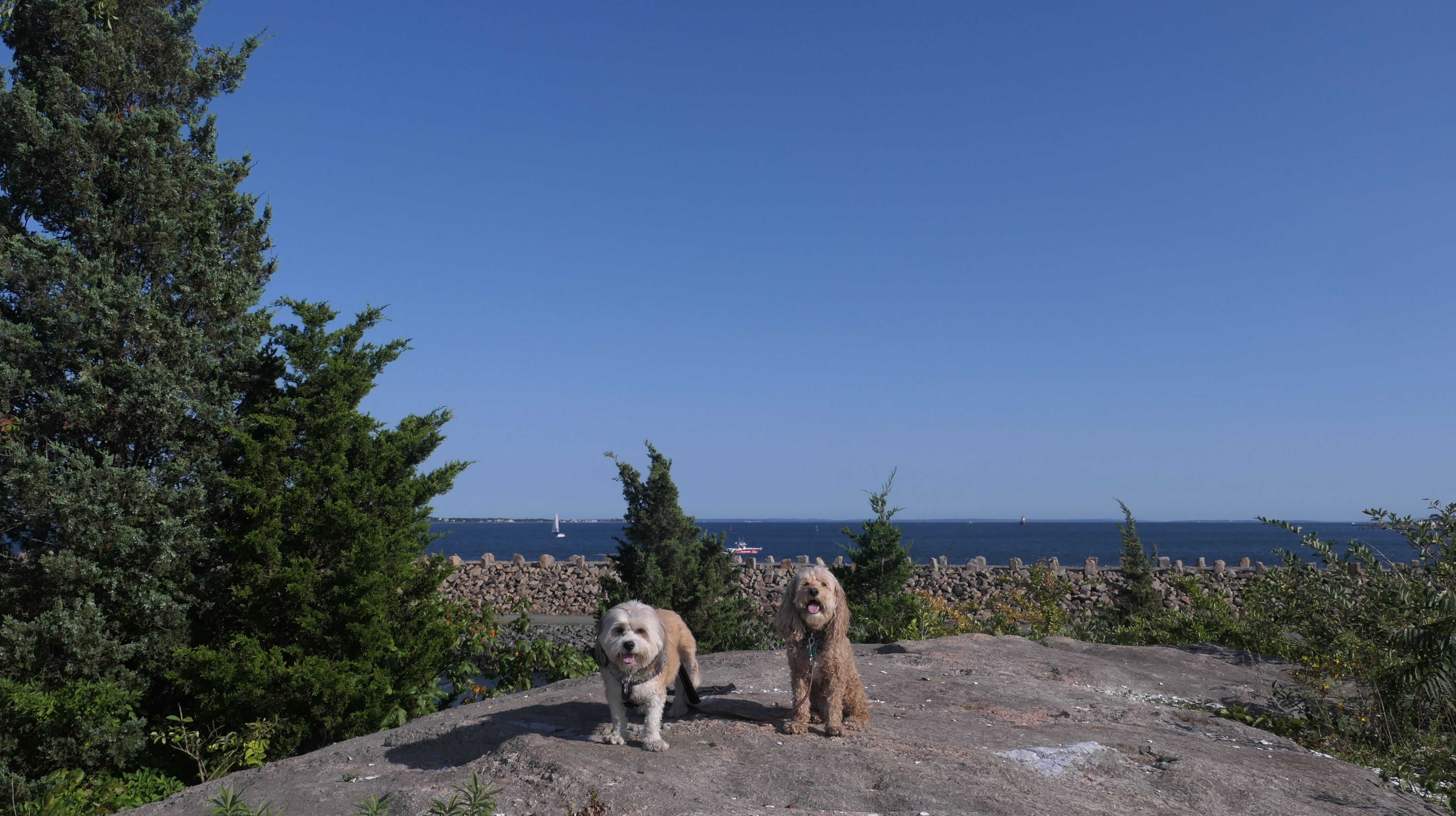
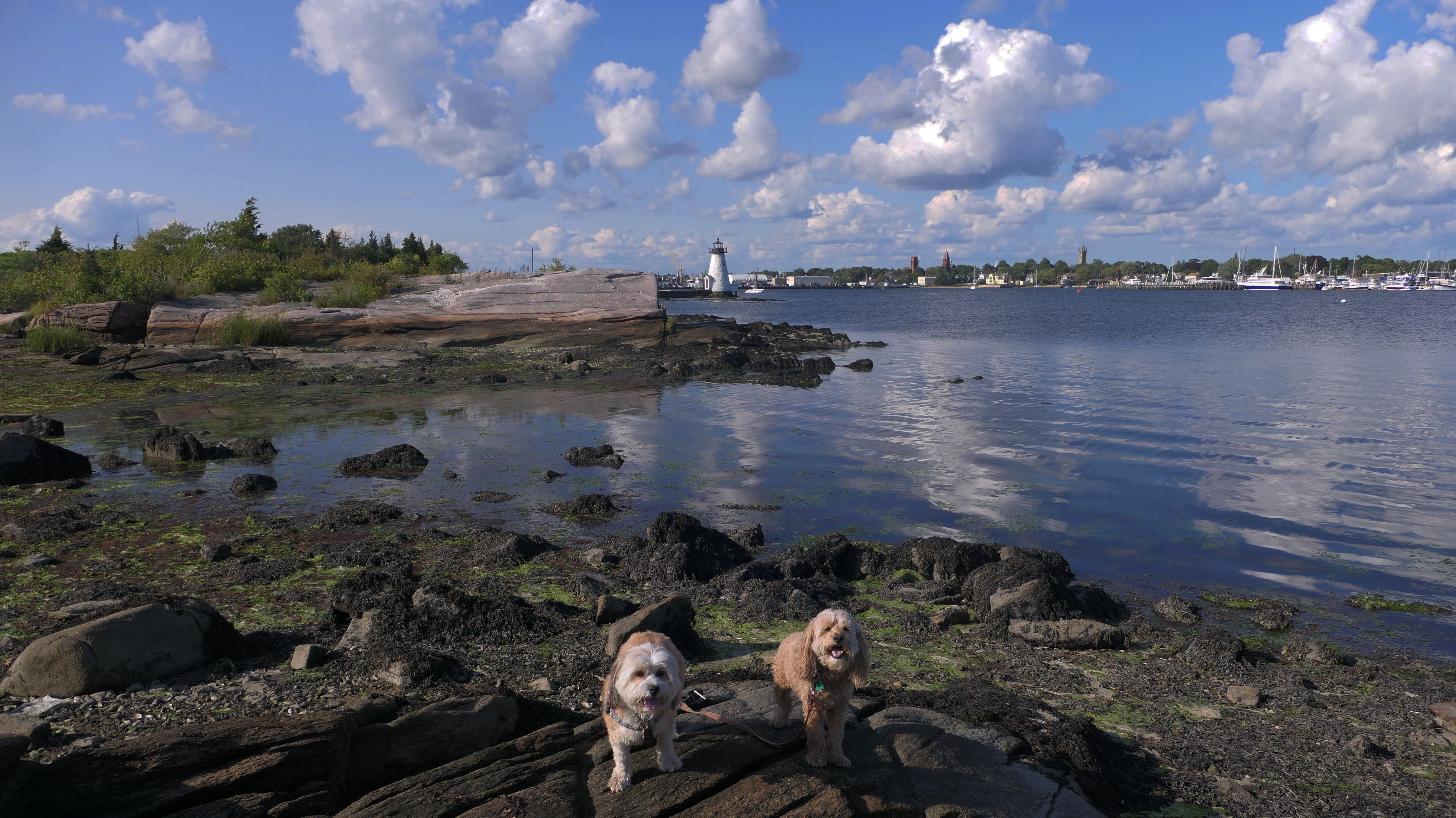
Palmer's Island
Date visited: 8/21/2024
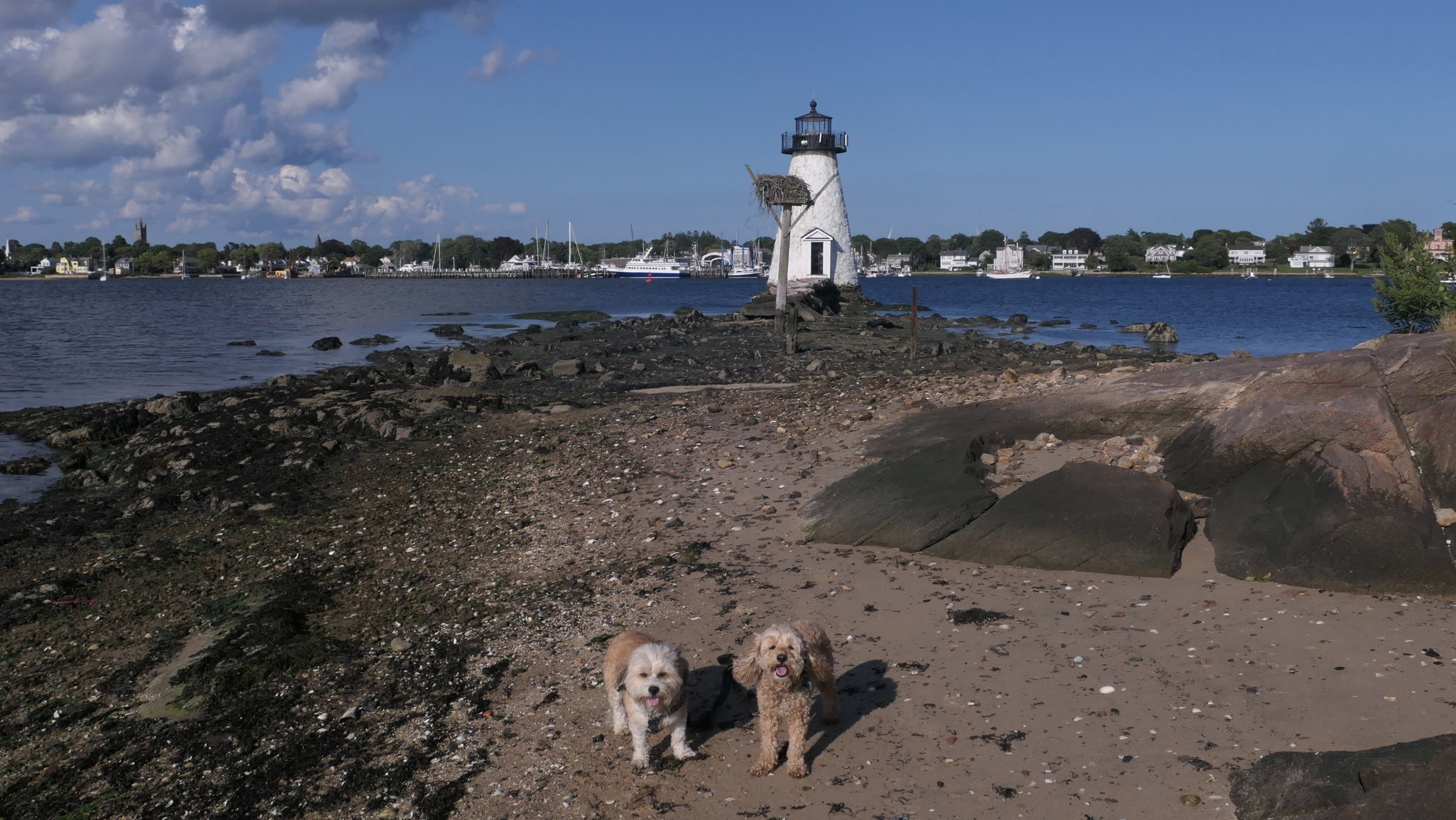
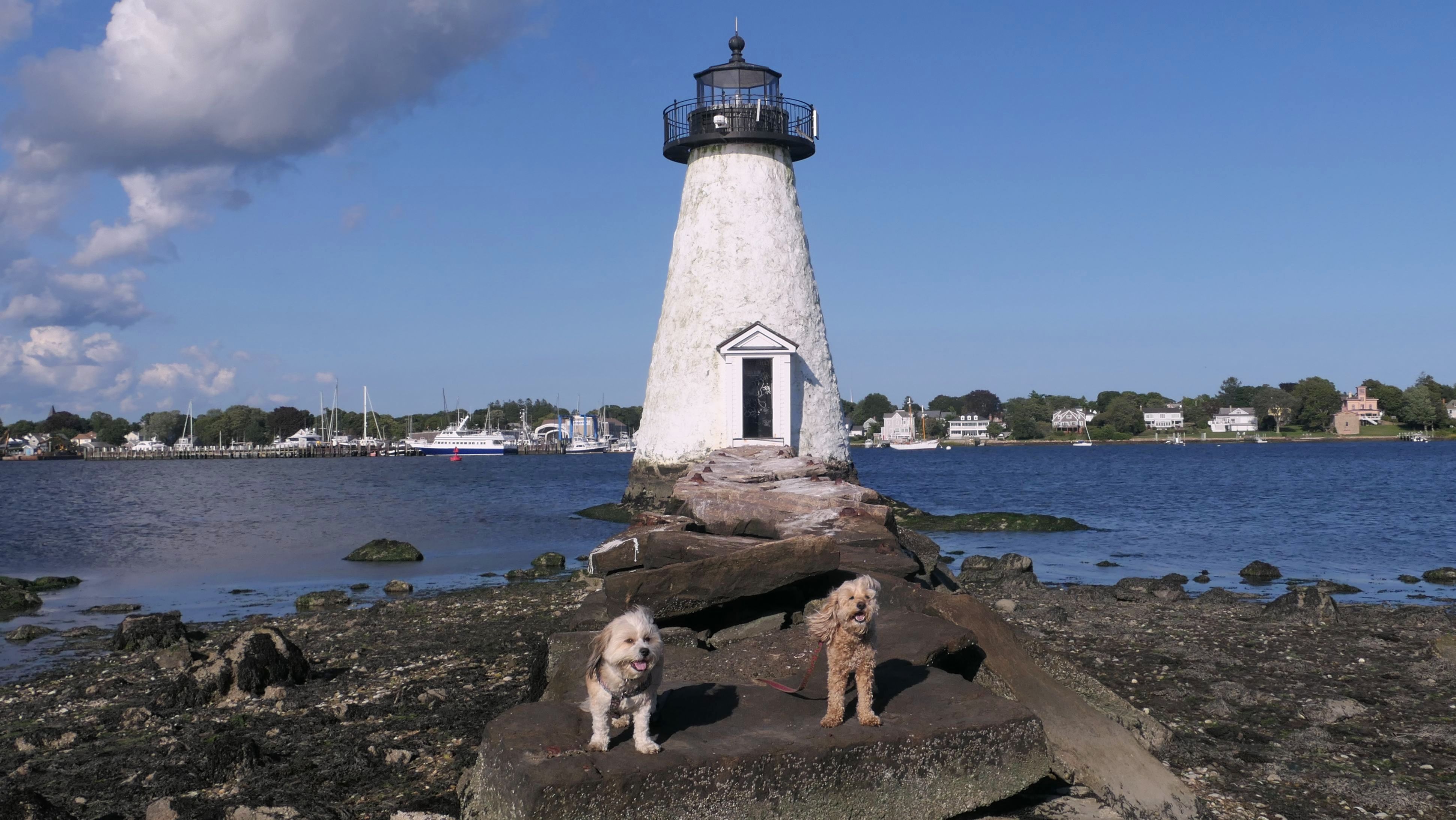
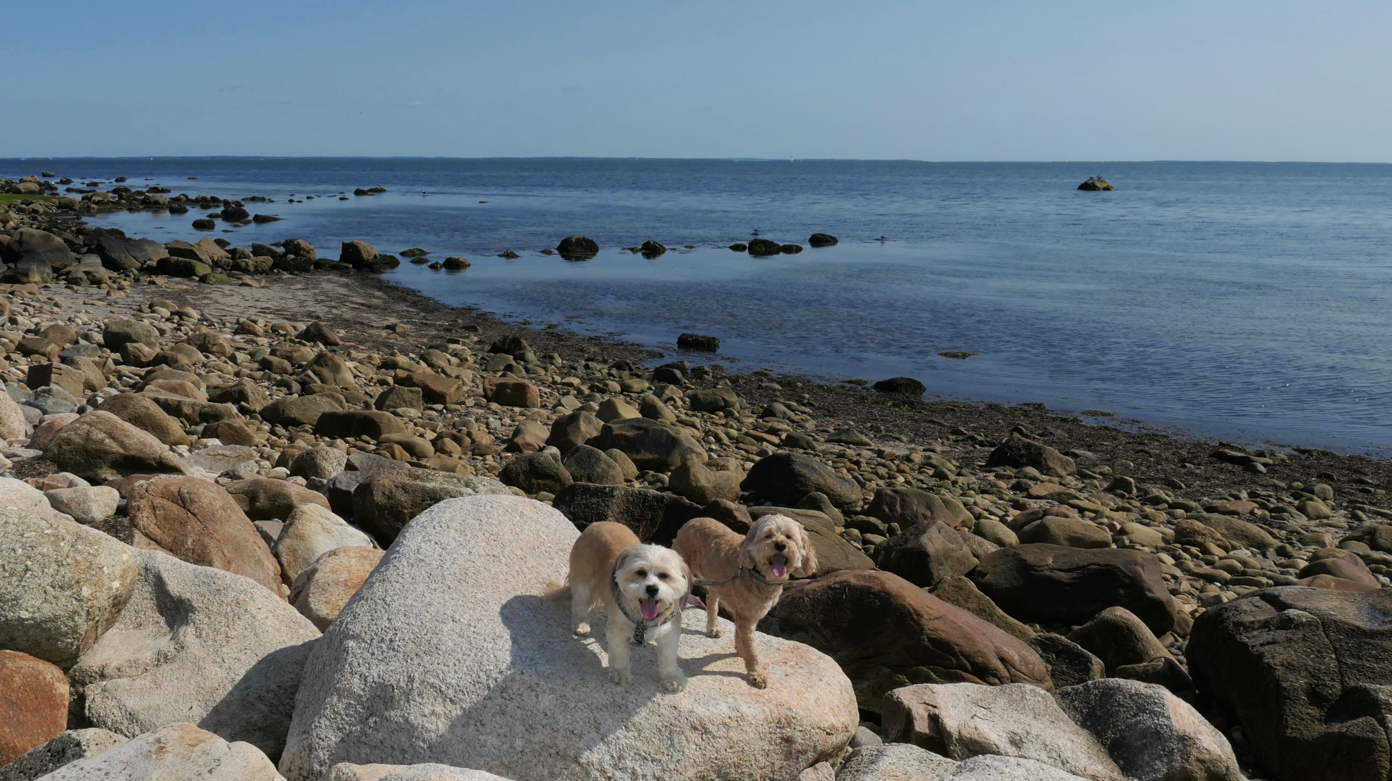
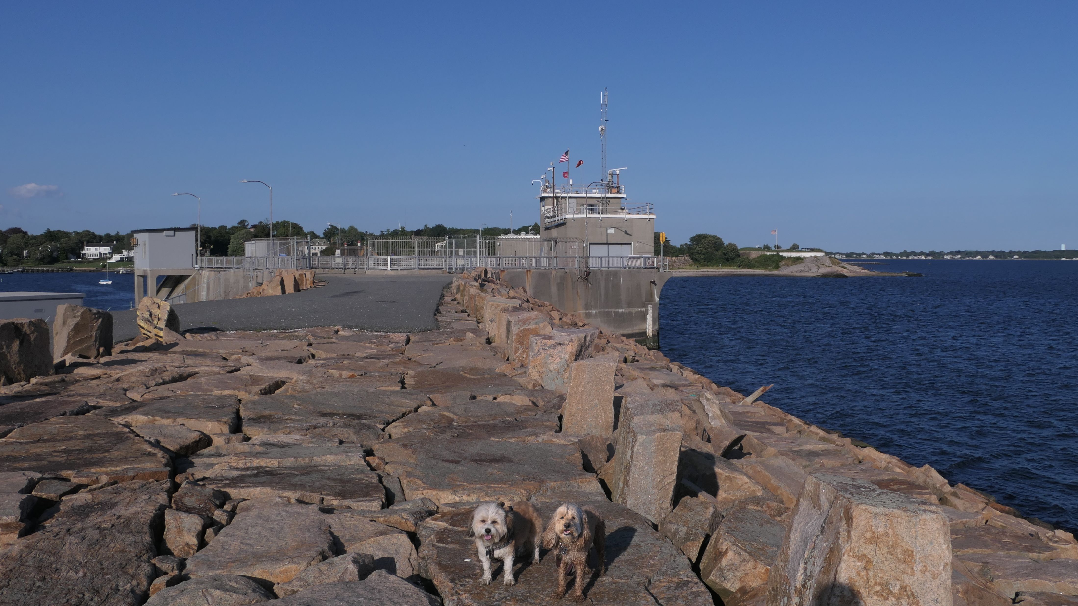
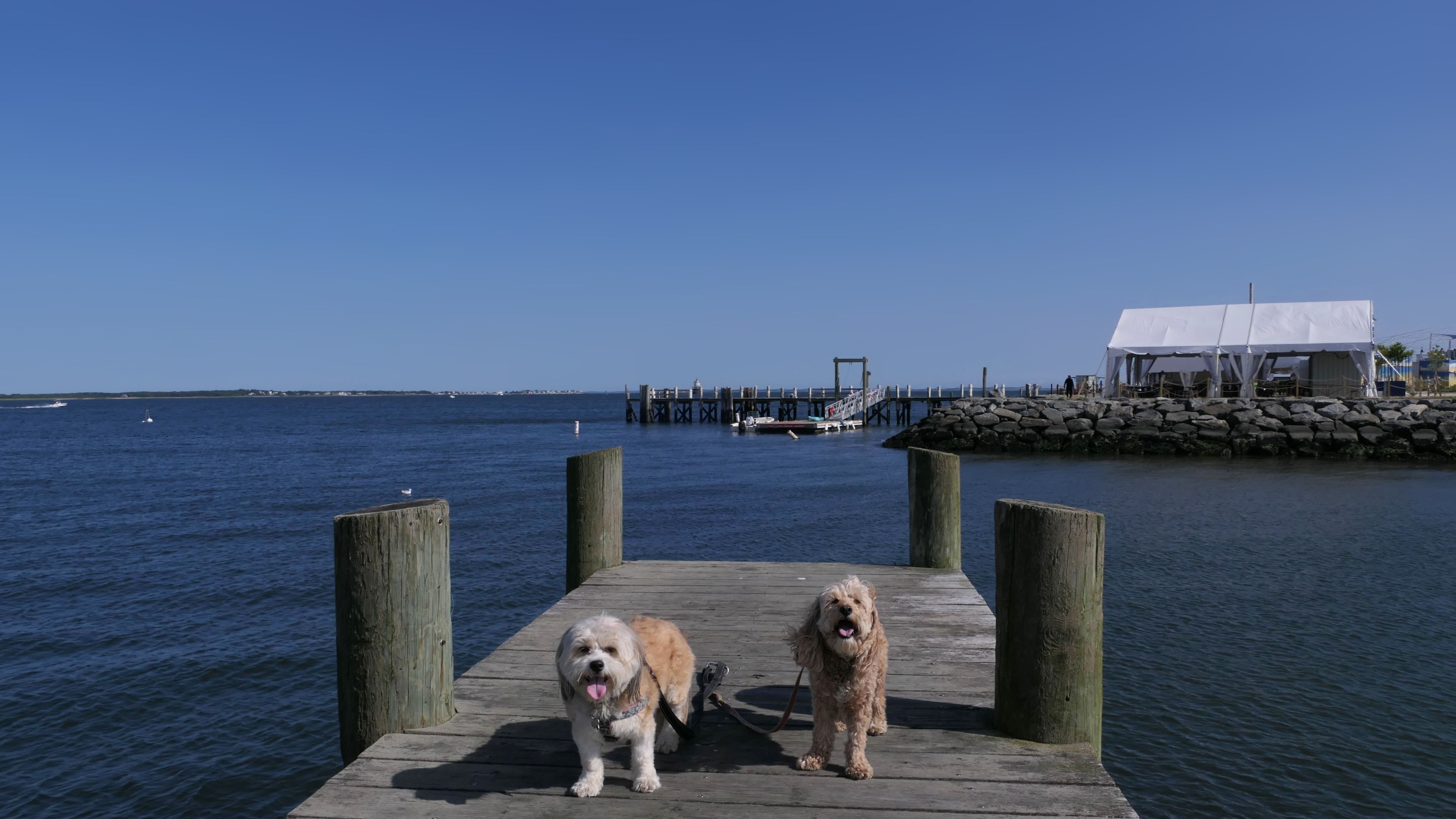
This was the highlight of our adventure that also included the Harborwalk and Davy's Beach. The island is accessible by foot from the northeast end of the Harborwalk, outside of high-tide. Reading up on the island, it has had a rocky history. It started off as a internment camp for Native Americans during King Philips War in 1675 & 1676. The lighthouse was built in 1849, and operated until the seawall was built after hurricanes in 1938 and 1963 decimated the island. The island is smaller now than it was in the past, and once featured a hotel and an amusement park. Now, it's six acres of open space accessible to the public for passive recreation. We walked most of the island, including right up to the old lighthouse. It's a great spot, but unfortunately there is a lot of trash. I saw plastic and glass water bottles, alcohol bottles, wrappers, plastic cups, shoes and even underwear left littering the landscape. (I probably don't want to know the story behind the underwear). It's a shame, because other than that, this was a really great spot and a fun walk.
More Images